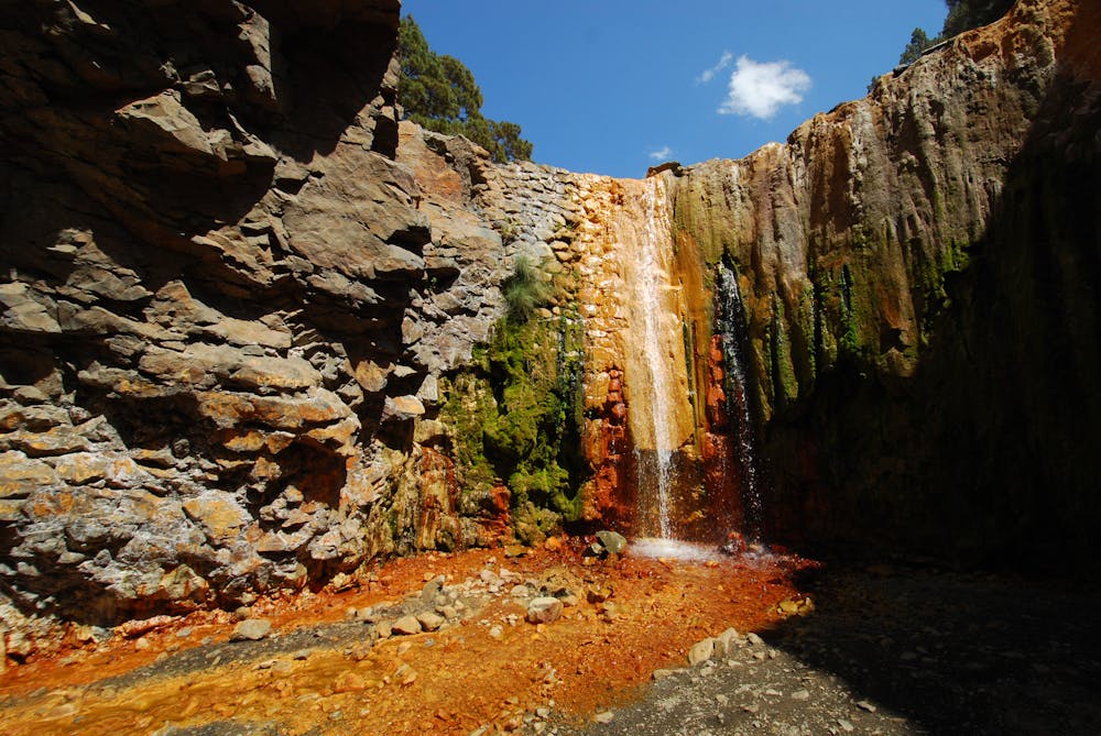
Caldera de Taburiente
Loop in the Caldera de Taburiente
Hiking Difficult
- Distance
- 22 km
- Ascent
- 1.4 km
- Descent
- 1.4 km
- Duration
- 6-7 hrs
- Low Point
- 226 m
- High Point
- 1.1 km
- Gradient
- 16˚

This is a popular hiking route which is generally considered to be difficult. It's remote, it features medium exposure and is typically done all year round. From a low point of 226 m to the maximum altitude of 1.1 km, the route covers 22 km, 1428 vertical metres of ascent and 1430 vertical metres of descent.
Description
Loop hike in the Caldera de Taburiente, starting from the parking at the bottom. Wonderful views of the caldera. The first part is fairly steep, bring plenty of water!
Difficulty
Difficult
Hiking trails where obstacles such as rocks or roots are prevalent. Some obstacles can require care to step over or around. At times, the trail can be worn and eroded. The grade of the trail is generally quite steep, and can often lead to strenuous hiking.
Medium Exposure

The trail contains some obstacles such as outcroppings and rock which could cause injury.
Remoteness
Away from help but easily accessed.
Best time to visit
Features
- Picturesque
- Summit Hike