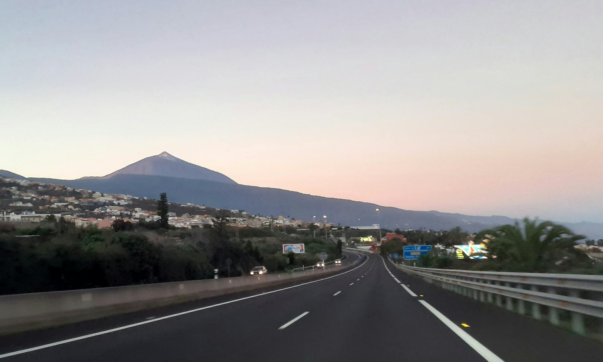
Piana del Teide to Socorro Beach
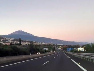
Direct descente from Teide Caldera down to the sea level at Socorro Beach
Difficult Hiking
- Distance
- 25 km
- Ascent
- 325 m
- Descent
- 2.7 km
Go hiking in Santa Cruz de Tenerife with curated guides of the best hikes across the region. With over 17 3D trail maps in FATMAP, you can easily discover and navigate the best trails in Santa Cruz de Tenerife.
No matter what your next adventure has in store, you can find a guide on FATMAP to help you plan your next epic trip.
Get a top hiking trail recommendation in Santa Cruz de Tenerife from one of our 1 guidebooks, or get inspired by the 17 local adventures uploaded by the FATMAP community. Start exploring now!
Direct descente from Teide Caldera down to the sea level at Socorro Beach
Difficult Hiking
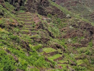
Loop in the Caldera de Taburiente
Difficult Hiking
Daily hike through the volcanic area of La Palma
Moderate Hiking

Daily hike to Punta de Alcala
Moderate Hiking
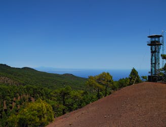
Hike through the pine forest of El Hierro
Moderate Hiking
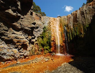
Path following a small river with recurring cascades. Many are very small, two of them are bigger.
Difficult Hiking
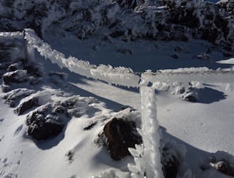
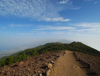
Pico del Teide direct summit from car parklot
Difficult Hiking