Pico del Lobo
La Pinilla Estación de Esquí
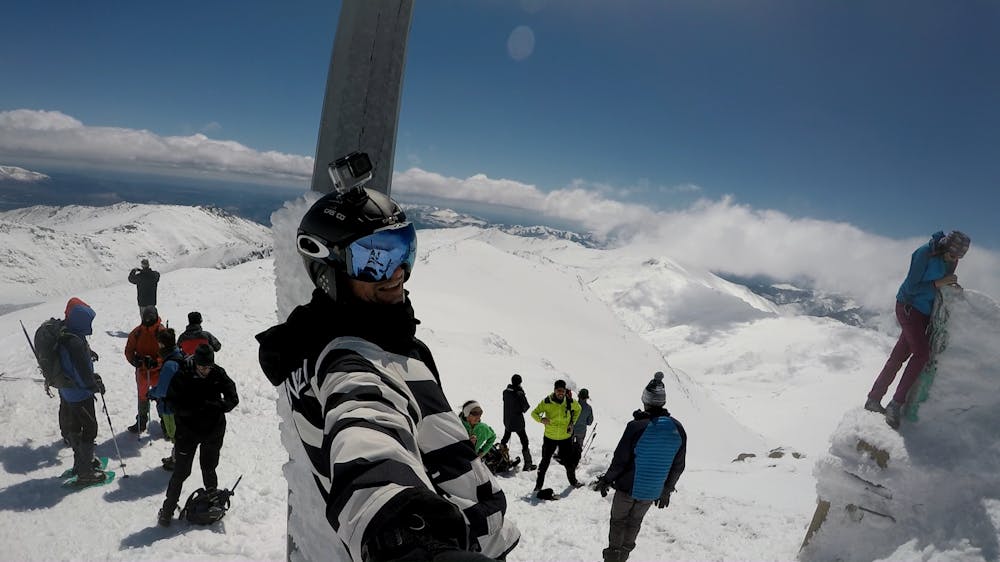
Circular Route to Pico del Lobo, La Pinilla Ski Resort - Sierra de Ayllón, Spain.
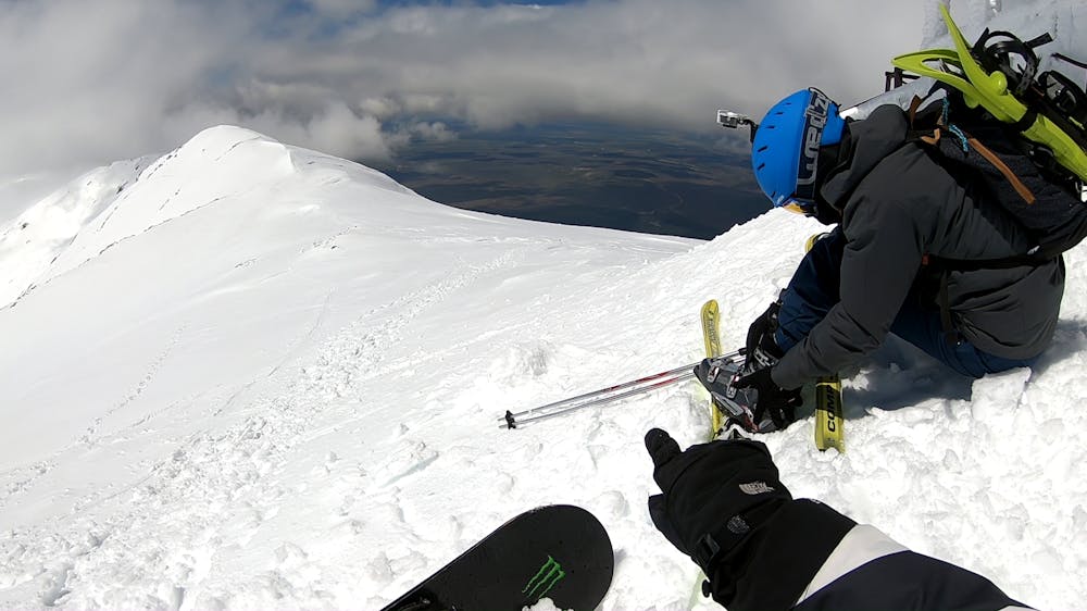
Freeride Skiing Moderate
- Distance
- 8.5 km
- Ascent
- 840 m
- Descent
- 841 m
- Low Point
- 1.5 km
- High Point
- 2.3 km
- Gradient
- 33˚

This is a popular freeride skiing route which is generally considered to be moderate. It's not remote, it features medium exposure (e2) and is typically done between January and March. From a low point of 1.5 km to the maximum altitude of 2.3 km, the route covers 8.5 km, 840 vertical metres of ascent and 841 vertical metres of descent. You'll need crampons to complete it safely.
- •
- •
Description
Circular Route from Parking La Pinilla Ski Resort to summit Pico del Lobo and dropping for old slopes from La Pinilla Ski Resort linking with current ones like Periférico and Retorno. Awesome sights.
Difficulty
Moderate
Slopes become slightly steeper at around 25-30 degrees.
Medium Exposure (E2)

As well as the slope itself, there are some obstacles (such as rock outcrops) which could aggravate injury.
Remoteness

Close to help in case of emergency.
Best time to visit
Features
- Trees
- Cliffs
- Glacier
- Walk Required
Equipment required
- Crampons