4 routes
Explore Segovia with curated guides of the best routes. With over 8 3D trail maps in FATMAP, you can easily discover and navigate the best trails in Segovia.
No matter what your next adventure has in store, you can find a guide on FATMAP to help you plan your next epic trip.
Get a top trail recommendation in Segovia, or get inspired by the 8 local adventures uploaded by the FATMAP community. Start exploring now!

Bola-Mali-Puente de los Pastores 17k +1100
Severe Trail Running

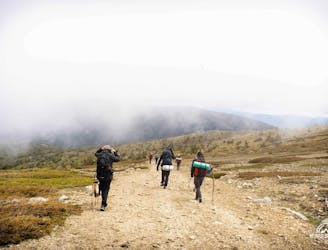
Pto - Peñalara 29k 1580+
Difficult Trail Running

Salida desde el embalse de Riofrío, subida hasta el Calamorro de San Benito y descenso hasta el Puerto de la Quesera. Desde ahí accedemos al hayedo de Pedrosa y descendemos de nuevo hasta el embalse.
Moderate Hiking
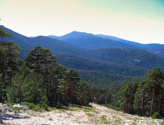
An alternative from a classic of Guadarrama range
Moderate Hiking
Ágora "La montaña fuente de vida"
Easy Hiking

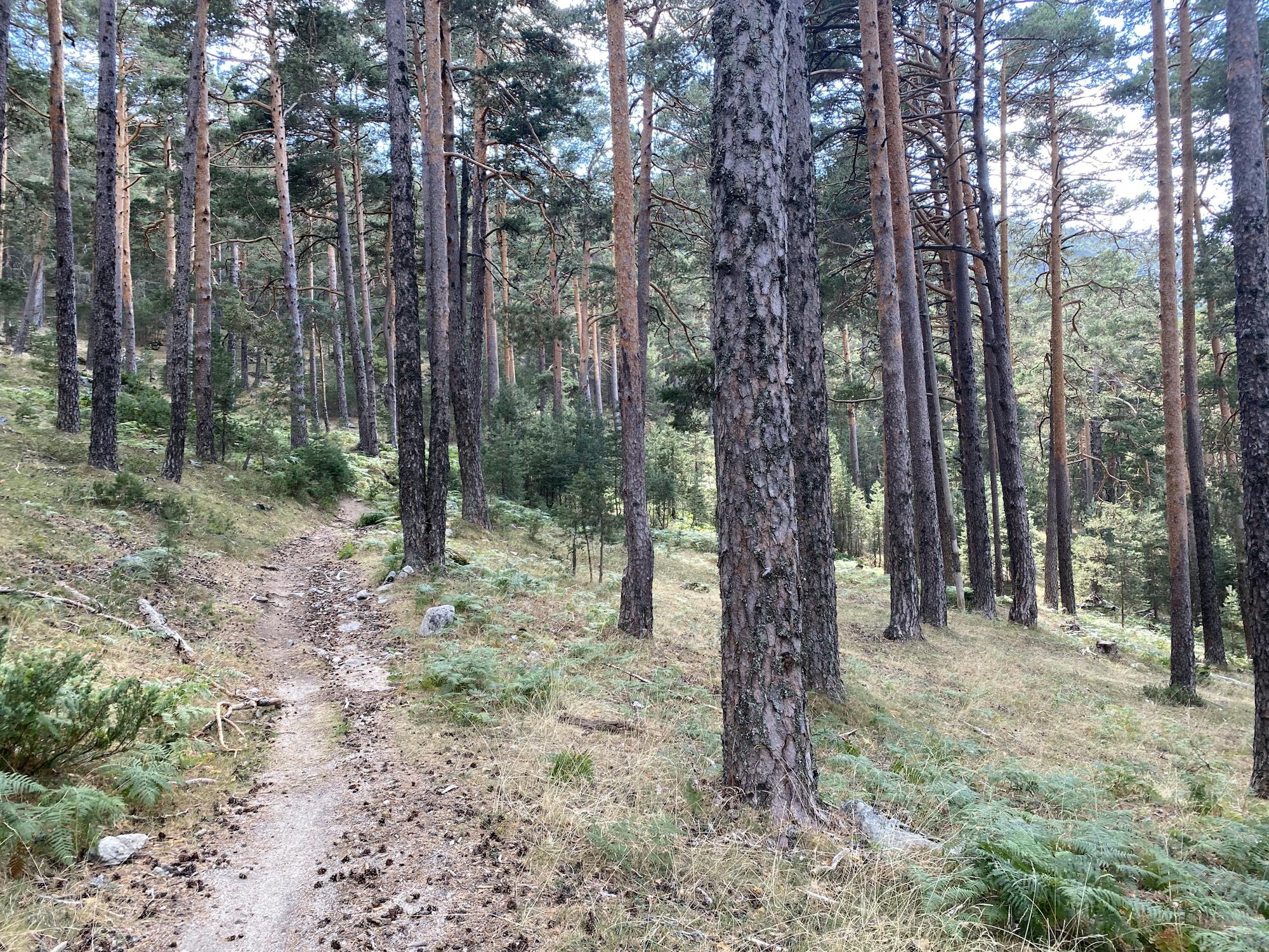
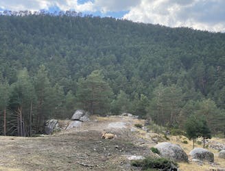
Ruta por el bosque Navacerrada
Moderate Ski Touring
Relaxing walk through the woods.
Easy Hiking
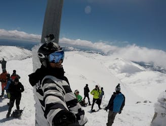
Circular Route to Pico del Lobo, La Pinilla Ski Resort - Sierra de Ayllón, Spain.
Moderate Freeride Skiing