5.2 km away
Alta Ruta of the Madrid Province
A massive one day circular route that covers the 10 highest peaks of Madrid Province
Severe Trail Running
- Distance
- 61 km
- Ascent
- 2.7 km
- Descent
- 2.7 km
Pto - Peñalara 29k 1580+
Trail Running Difficult

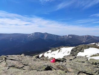
This is a popular trail running route which is generally considered to be difficult. It's remote, it features medium exposure and is typically done between April and October. From a low point of 1.4 km to the maximum altitude of 2.4 km, the route covers 29 km, 1572 vertical metres of ascent and 1571 vertical metres of descent.
Pto - Peñalara 29k 1580+
Difficult

The trail contains some obstacles such as outcroppings and rock which could cause injury.
Away from help but easily accessed.
5.2 km away
A massive one day circular route that covers the 10 highest peaks of Madrid Province
Severe Trail Running