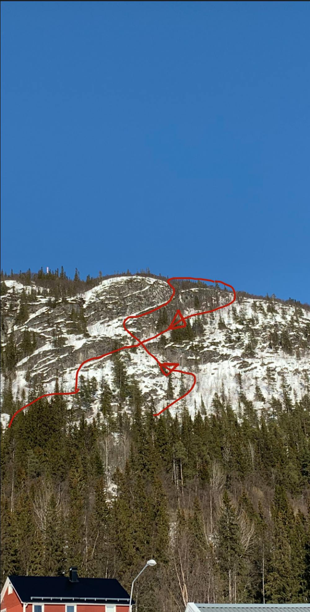
Funäsdalsbergets "Mallory"
Visible line from all over Funäsdalen, high exposure but with at great reward.
Alpine Climbing Moderate
- Distance
- 1.2 km
- Ascent
- 272 m
- Descent
- 281 m
- Low Point
- 617 m
- High Point
- 898 m
- Gradient
- 33˚

This is a popular alpine climbing route which is generally considered to be moderate. It's not remote, it features medium exposure and is typically done between January and April. From a low point of 617 m to the maximum altitude of 898 m, the route covers 1.2 km, 272 vertical metres of ascent and 281 vertical metres of descent. You'll need ice axe, crampons, quickdraws and wires and friends to complete it safely.
- •
- •
Description
Highly visble ski line from all over Funäsdalen. Requivers a bit of alpine experience to conquer with ease.
Begin the journey at "Eriks bar och kök". Follow the crosscountry track until you see the first "MTB" sign then head straight up towards the line. "see the picture"
Difficulty
Moderate
May involve slightly more complex glacier hikes, easy but possibly long rock ridges and steep snow up to 45 degrees. Equivalent to PD, PD+
Medium Exposure

The route features some exposed and/or difficult to protect sections.
Remoteness

Close to help in case of emergency.
Best time to visit
Equipment required
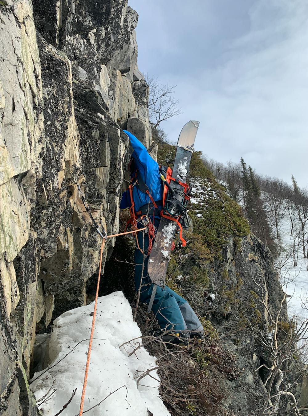
- Ice axe
- Crampons
- Quickdraws
- Wires and Friends