5 routes
Explore Jämtland with curated guides of the best ski routes, and more. With over 12 3D trail maps in FATMAP, you can easily discover and navigate the best trails in Jämtland.
No matter what your next adventure has in store, you can find a guide on FATMAP to help you plan your next epic trip.
Get a top trail recommendation in Jämtland, or get inspired by the 12 local adventures uploaded by the FATMAP community. Start exploring now!
Barren mountain, ancient mountain birches, meandering forest paths, and stunning scenery.
Difficult Mountain Biking

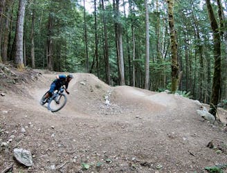
Hovärken runt - a wonderful MTB trail in Lofsdalen
Moderate Mountain Biking

Fin ränna som erbjuder lagom mycket commitment.
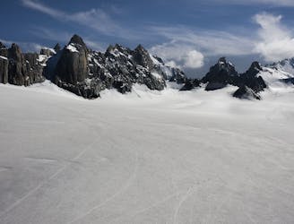
Difficult Ski Touring

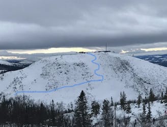
Bra trädlinje där man kan hålla god flyt genom hela åket.
Easy Ski Touring
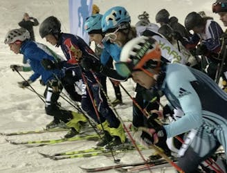
Åre Vertical Skimo Race
Difficult Ski Touring

Björnen - Åreskutan - Vänsterskuta - till Huså - Åreskutan - Björnen
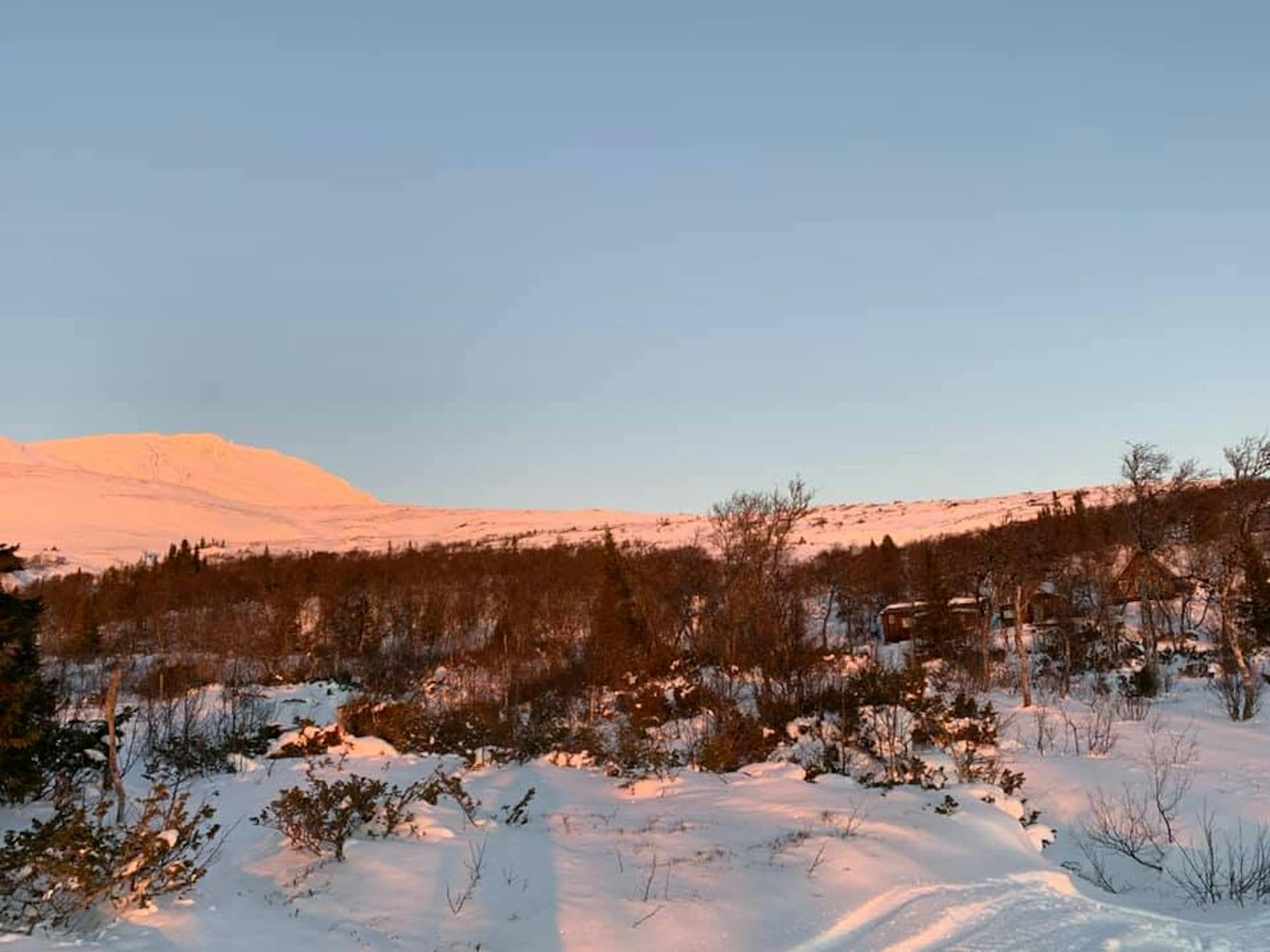
Moderate Ski Touring
A short and challenging run
Difficult Freeride Skiing
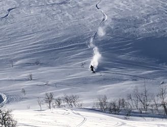
A short run but with a steep slope.
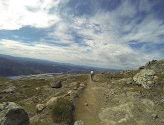
Moderate Ski Touring