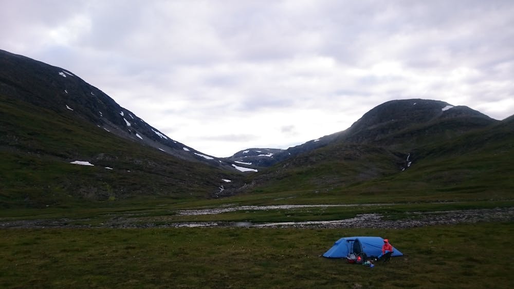
85 m away
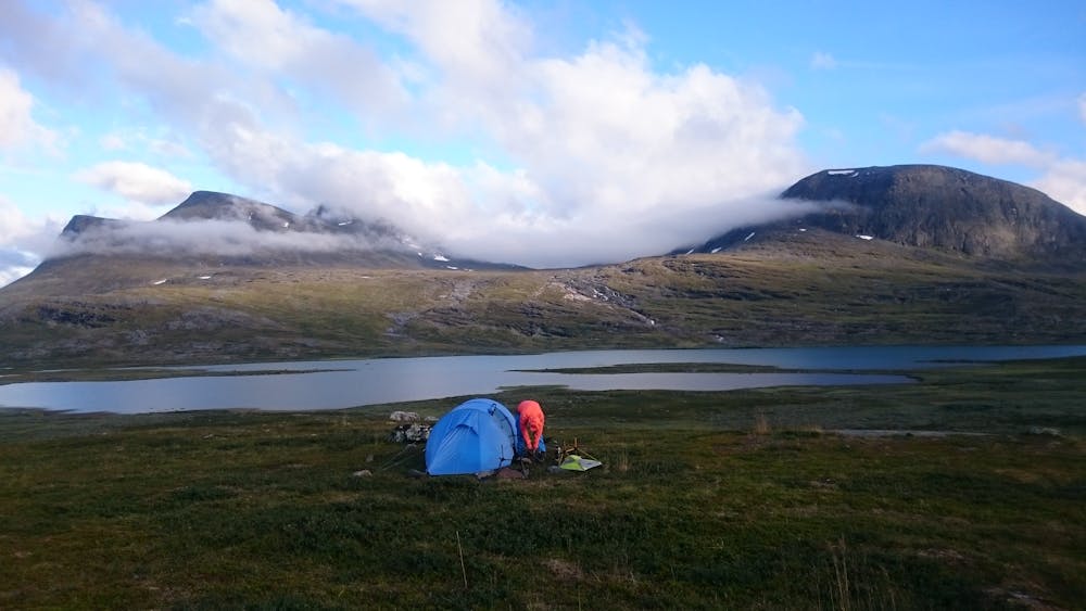
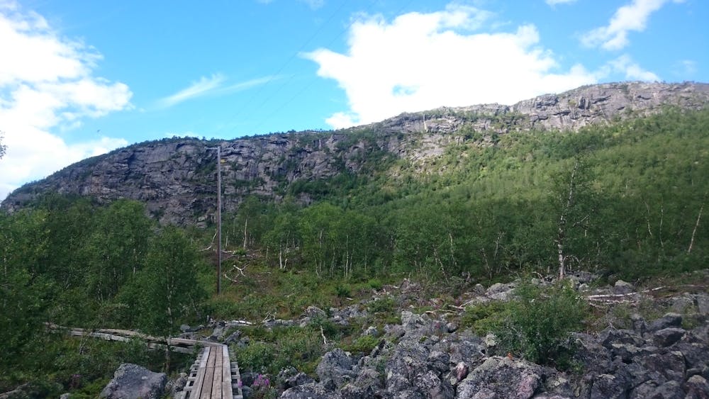
Kebnekaise Southern Summit Hike - Day 1, Nikkaluokta to KMS
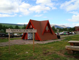
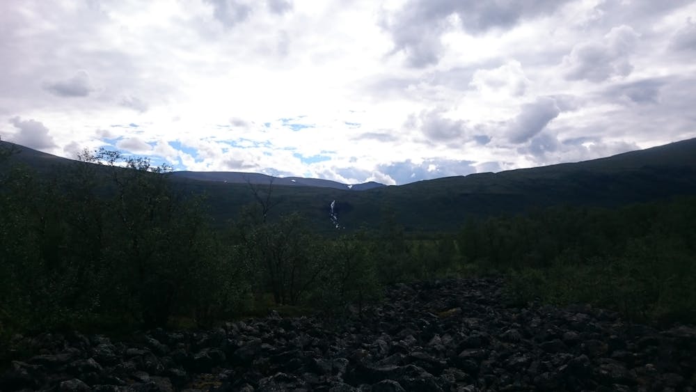
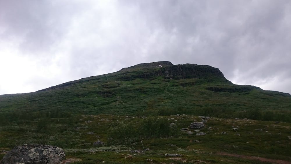
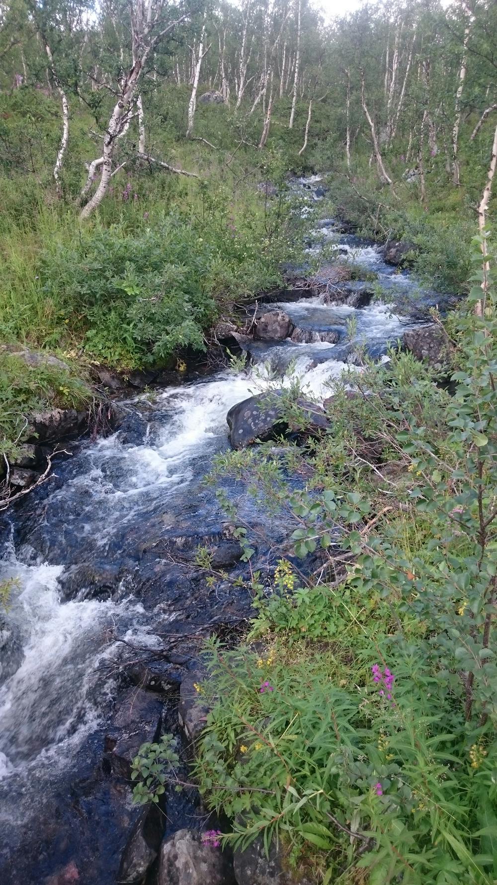
Day 1 of a two-day hike to Sweden's highest summit via the Western Trail (västra leden).
Moderate Hiking
- Distance
- 19 km
- Ascent
- 520 m
- Descent
- 310 m
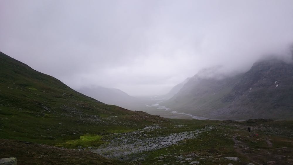
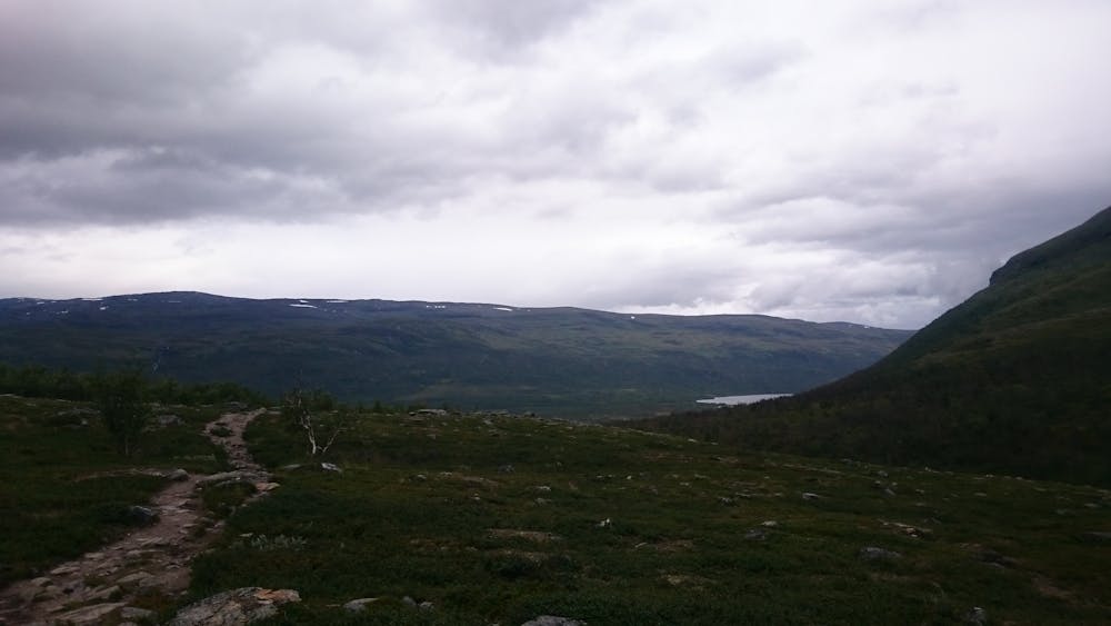
110 km hike through the north swedish fjaell
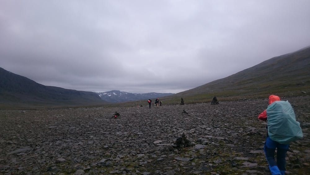
Hiking Difficult

This is a popular hiking route which is generally considered to be difficult. It's very remote, it features medium exposure and is typically done between May and September. From a low point of 368 m to the maximum altitude of 1.1 km, the route covers 59 km, 1489 vertical metres of ascent and 1918 vertical metres of descent.
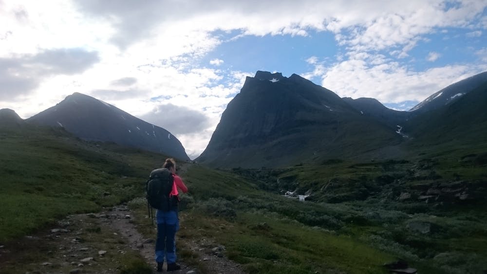
stunning hike with possibility to fuel up again at some FTS mountain huts
Difficult
Hiking trails where obstacles such as rocks or roots are prevalent. Some obstacles can require care to step over or around. At times, the trail can be worn and eroded. The grade of the trail is generally quite steep, and can often lead to strenuous hiking.

The trail contains some obstacles such as outcroppings and rock which could cause injury.

Little chance of being seen or helped in case of an accident.
85 m away
Day 1 of a two-day hike to Sweden's highest summit via the Western Trail (västra leden).
Moderate Hiking