136 routes · Ski Touring · Mountain Biking
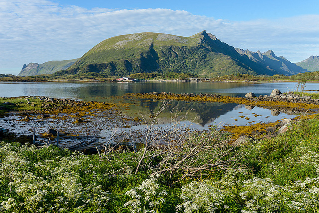
Go hiking in Norrbotten with curated guides of the best hikes across the region. With over 18 3D trail maps in FATMAP, you can easily discover and navigate the best trails in Norrbotten.
No matter what your next adventure has in store, you can find a guide on FATMAP to help you plan your next epic trip.
Get a top hiking trail recommendation in Norrbotten from one of our 1 guidebooks, or get inspired by the 18 local adventures uploaded by the FATMAP community. Start exploring now!
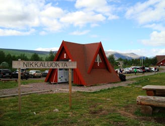
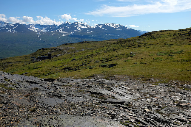
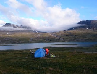
Day 1 of a two-day hike to Sweden's highest summit via the Western Trail (västra leden).
Moderate Hiking
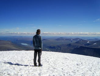
Day 2 of a two-day hike to Sweden's highest summit, via the Western Trail.
Severe Hiking
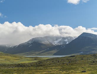
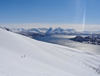
Sweden’s longest and most famous trail through some of the finest scenery in Scandinavia.
Difficult Hiking

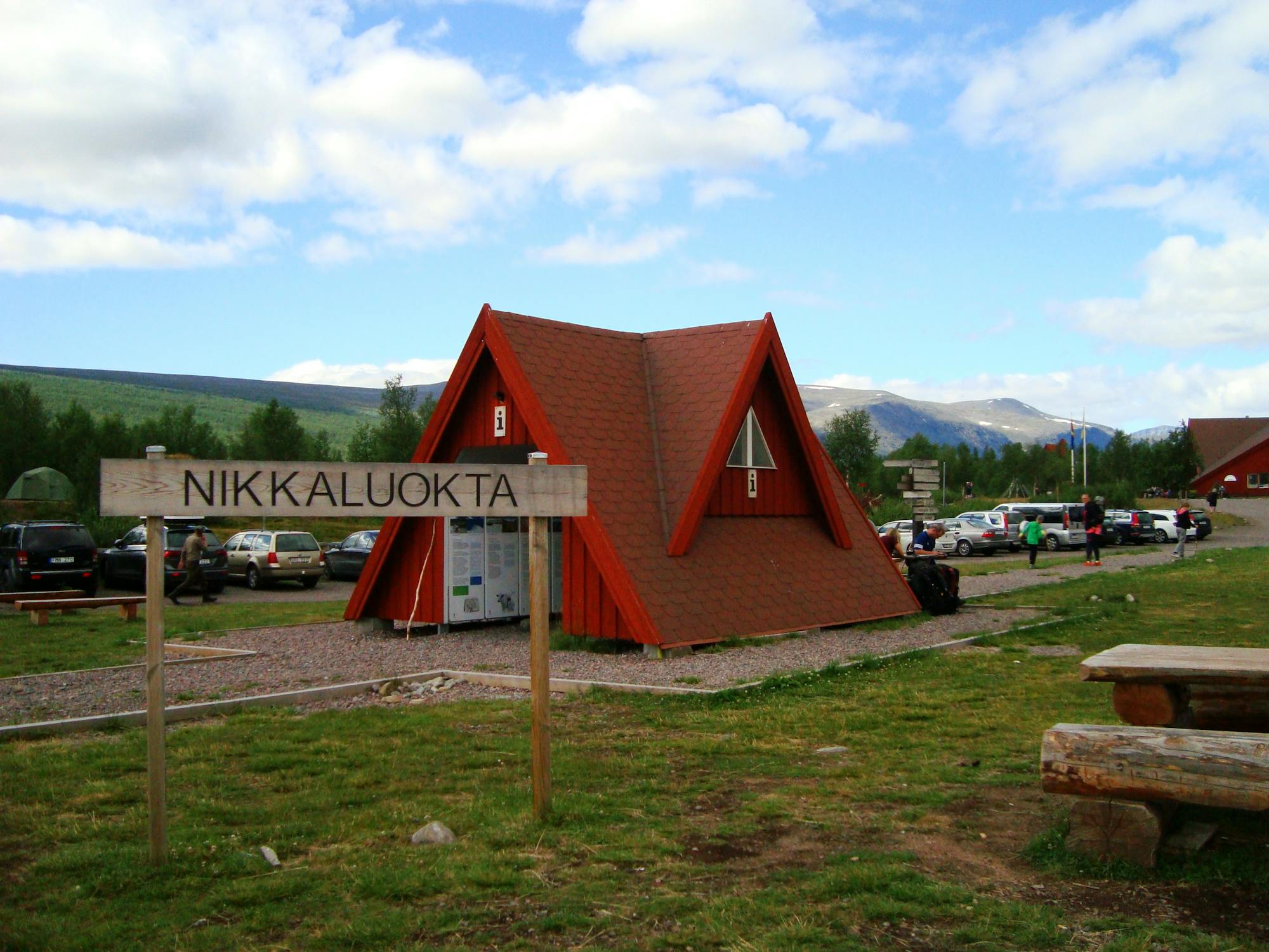
This is the gpx data for the entire Kungsleden (north and south). It's northbound, meaning start ist south in Hemavan and destination is north in Abisko
Difficult Hiking

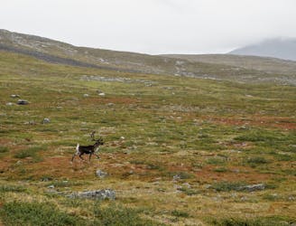
The original – and longest – Classic. Experience pristine Scandinavian wilderness, the occasional reindeer encounter and complete freedom.
Moderate Hiking
Up and over Kebnekaise looping back through Vistas forests
Moderate Hiking
110 km hike through the north swedish fjaell
Difficult Hiking