Kebnekaise Southern Summit Hike - Day 2, KMS to Sydtoppen
Day 2 of a two-day hike to Sweden's highest summit, via the Western Trail.
Hiking Severe
- Distance
- 8.7 km
- Ascent
- 1.6 km
- Descent
- 185 m
- Duration
- 4-5 hrs
- Low Point
- 675 m
- High Point
- 2.1 km
- Gradient
- 21˚

Day two of the climb to the summit of Kebnekaise, Sweden's tallest peak, will require 10-12 hours of hiking, so plan your time of departure, water, food, and clothing accordingly.
- •
- •
- •
- •
- •
- •
Description
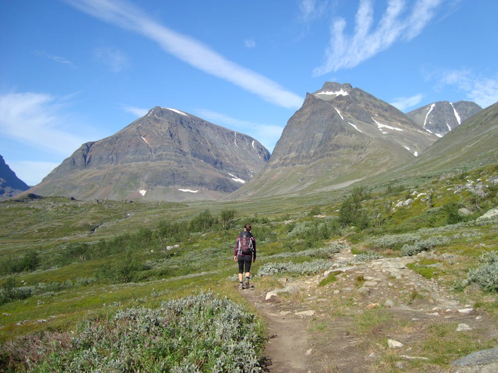
Initially, the trail follows the lush, green valley floor easily towards the massif and Kitteldalen valley. Then, the gradient becomes much more challenging as the trail is cut into the mountainside facing the river.
Once at the top of Kitteldalen two rivers require crossing—one with a metal bridge, the other with some stepping-stone negotiation. This is the last water point. The Bjørlings glacier is viewable now.
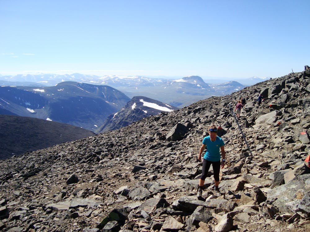
The terrain from this point is high alpine with large boulders and occasional snow patches.
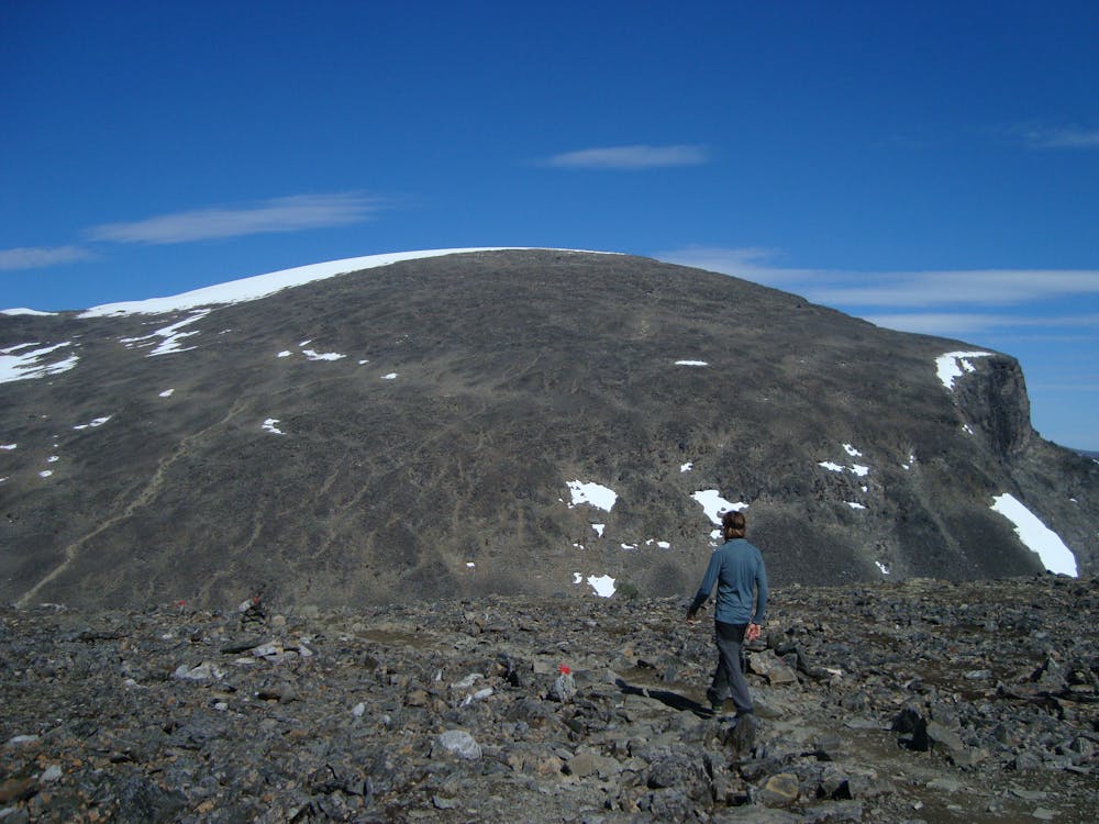
The trail goes towards the col between Tuolpagorni and Vierramvare and some light scrambling might be required.
Once at the col, the ascent to Vierramvare is steep, bouldery, and hard going. The trail descends the other side of Vierramvare and the trail on the opposite side of the valley can be seen—both of which are very steep.
The top of Vierramvare is a good point to turn back if desired.
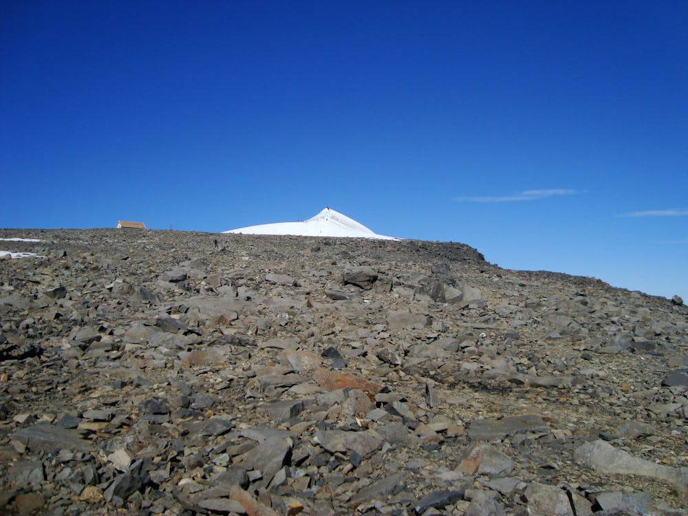
The going gets easier when the Gamla Toppstugan hut is reached and marks the final push to the summit.
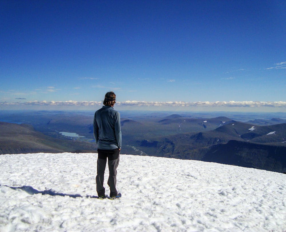
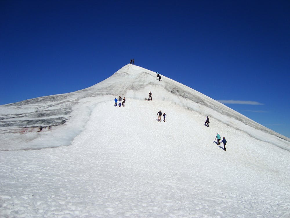
The summit is often icy, and crampons and axe will be required (available to rent from KMS) if so.
The icy cornice has significant exposure and a fall will most likely be fatal. The safest approach is head on.
The summit is very small, so the views are best and more courteously admired from just off the summit.
To return to KMS follow the same route in reverse. You will be thankful your tent is still pitched.
Day Three: Follow the same route as day one in reverse back to Nikkaluokta, allowing about 5 hours for the return as well.
Difficulty
Severe
Hiking challenging trails where simple scrambling, with the occasional use of the hands, is a distinct possibility. The trails are often filled with all manner of obstacles both small and large, and the hills are very steep. Obstacles and challenges are often unexpected and can be unpredictable.
Extreme Exposure

Some trail sections are extremely exposed where falling will almost certainly result in serious injury or death.
Remoteness

Little chance of being seen or helped in case of an accident.
Best time to visit
Features
- Picturesque
- Summit Hike
- Dog friendly
- Water features