3 routes · Hiking
Hike this legendary trail which runs through wilderness, close to the sea, and is never far from civilization.
Hiking Difficult

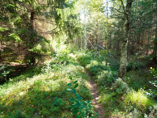
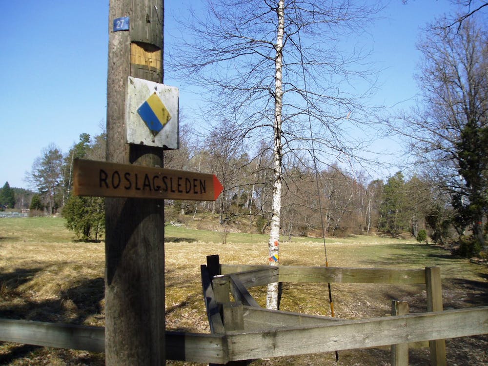
“Roslagsleden is a trail through the wilderness that’s never far from civilisation, following in the footsteps of the Vikings," writes the Swedish Tourist Association. It’s a mega 190 kilometres passing through six municipalities, running along everything from winding woodland tracks to coastal paths and through ancient settlements built from runestone, rolling pastures, and tiny country lanes. The route is marked with orange painted trees and orange signs in urban areas and is split into sections that range from 9 to 22km in length.
This adventure takes you along the first two sections, which run through the beautiful Stockholm County. This is an inland part of the route, which runs mainly through forests.
Sources https://www.swedishtouristassociation.com/trails/roslagsleden/ https://www.traildino.com/trace/continents-Europe/countries-Sweden/trails-Roslagsleden
Difficult
Hiking trails where obstacles such as rocks or roots are prevalent. Some obstacles can require care to step over or around. At times, the trail can be worn and eroded. The grade of the trail is generally quite steep, and can often lead to strenuous hiking.

The path is on completely flat land and potential injury is limited to falling over.
Close to help in case of emergency.
3 routes · Hiking