1 routes

Explore Stockholm with curated guides of the best routes. With over 9 3D trail maps in FATMAP, you can easily discover and navigate the best trails in Stockholm.
No matter what your next adventure has in store, you can find a guide on FATMAP to help you plan your next epic trip.
Get a top trail recommendation in Stockholm from one of our 2 guidebooks, or get inspired by the 9 local adventures uploaded by the FATMAP community. Start exploring now!
1 routes

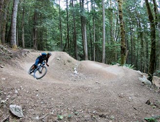
A downhill rider's dream in the heart of the city.
Difficult Mountain Biking
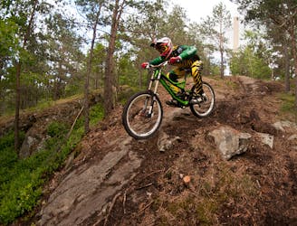
An 18km blue loop around Stockholm's MTB paradise.
Moderate Mountain Biking
The 30km route for the world's largest trail running race!
Difficult Trail Running
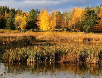
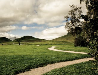
An 18km loop taking you around both historical and natural treasures.
Moderate Trail Running
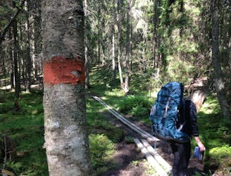
Hike the first part of the longest hiking trail in Sweden.
Moderate Hiking
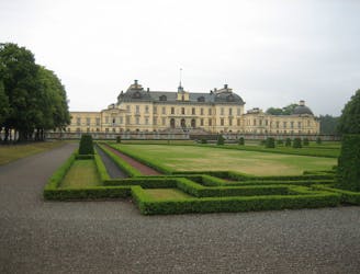
A fast and flowy blue trail in Stockholm's Royal National Park.
Moderate Mountain Biking

Hike this legendary trail which runs through wilderness, close to the sea, and is never far from civilization.
Difficult Hiking
Hike through enchanting pine forests and sleep overnight in woodland huts.
Moderate Hiking
3 routes · Trail Running
3 routes · Hiking