9.4 km away
Hammarbybacken
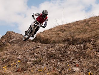
A downhill rider's dream in the heart of the city.
Difficult Mountain Biking
- Distance
- 466 m
- Ascent
- 9 m
- Descent
- 58 m
A fast and flowy blue trail in Stockholm's Royal National Park.
Mountain Biking Moderate

Haga is part of Stockholm’s Royal National Park, a beautifully designed English landscape park full of historical landmarks, including the elegant Haga Palace. But as well as its well-groomed lawns and well-kept flowerbeds, there’s also sprawling woodlands with hills and hidden cross country singletracks for local mountain bikers to get their thrills.
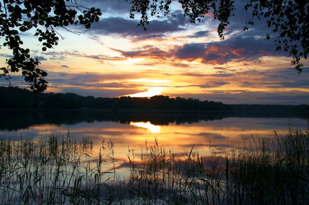
This adventure takes you down one of the fast and flowy trails off of Hagakullen (Haga Hill), a high point with the motorway on one side and thick forest on the other, with a few tracks featuring nice berms and jumps. If you’re still not satisfied, head to the many mountain bike trails in Haga’s forest, following the blue dots which join up to make an hour-long loop.
Sources https://www.redbull.com/se-en/stockholms-best-inner-city-escape-trails https://www.visitstockholm.com/see--do/attractions/haga-park/ https://www.trailforks.com/trails/haga-dh/
Moderate
Mostly stable trail tread with some variability, with unavoidable obstacles 8in/20cm tall or less. Other obstacles such as rock gullies and steep sections may exist. Ideal for lower intermediate riders.

The path is on completely flat land and potential injury is limited to falling over.
Close to help in case of emergency.
9.4 km away
A downhill rider's dream in the heart of the city.
Difficult Mountain Biking