

3 routes · Hiking
Hike through enchanting pine forests and sleep overnight in woodland huts.
Hiking Moderate

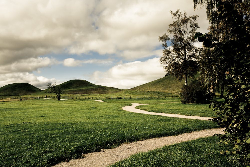
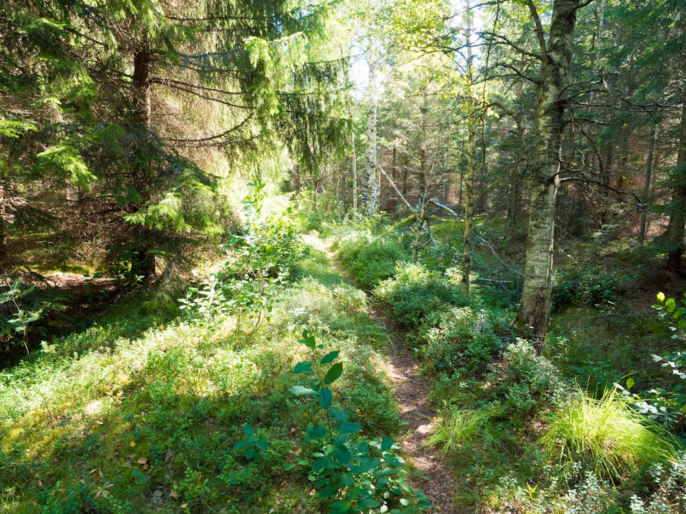
The Uppland Trail is one of Sweden’s classic long-distance hiking adventures, stretching a massive 400km across the beautiful countryside surrounding Stockholm and Uppsala. The route is mainly through forests, specifically enchanting pine forests, so it's perfect for woodland lovers and those wanting to see the typical woodland wildlife that frequent this part of Sweden: deer, elk, moose, and even the black woodpecker, which you could spot from the numerous bird watching towers. You’ll also be led through tiny remote villages around lakes, and across windy stretches of agricultural land with the classic white windmills decorating the landscape. The trail is split into many sections, which make for manageable day hikes or 2-day trips—there’s even plenty of quaint forest cabins to stopover along the way.
This adventure takes you through the first two sections of the Uppland Trail, which are in easy reach of Stockholm city centre. For more information go to: http://www.upplandsstiftelsen.se/eng/hike-the-uppland-trail448
Sources http://www.upplandsstiftelsen.se/eng/hike-the-uppland-trail448 https://www.thelocal.se/20110609/34260
Moderate
Hiking along trails with some uneven terrain and small hills. Small rocks and roots may be present.

The path is on completely flat land and potential injury is limited to falling over.
Close to help in case of emergency.
3 routes · Hiking