296 m away
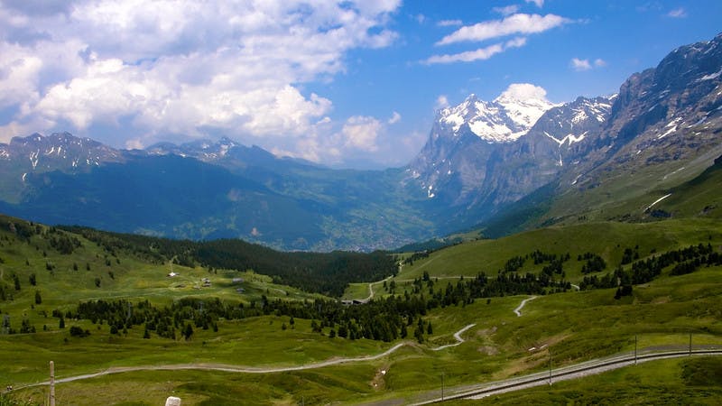
Via Alpina Green Route C9: Meiringen to Grindelwald
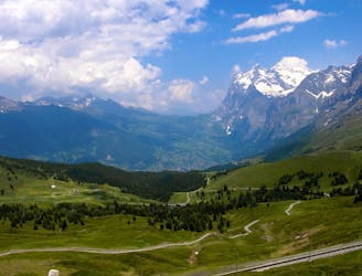
Featuring a waterfall made famous by Sherlock Holmes.
Moderate Hiking
- Distance
- 23 km
- Ascent
- 1.5 km
- Descent
- 1.1 km
trip
Hiking Easy

This is a popular hiking route which is generally considered to be easy. It's an unknown remoteness, it features unknown exposure and is typically done in an unknown time of year. From a low point of 599 m to the maximum altitude of 824 m, the route covers 9.2 km, 365 vertical metres of ascent and 368 vertical metres of descent.
short trip
Easy
Walking along a well-kept trail that’s mostly flat. No obstacles are present.
296 m away
Featuring a waterfall made famous by Sherlock Holmes.
Moderate Hiking

15 routes · Hiking
3 routes · Hiking