Von der "Wasserscheidi" zum Chrummenfadenflüe
Schöne Wanderung mit weiter Sicht auf die Alpen
Hiking Difficult
- Distance
- 4.5 km
- Ascent
- 523 m
- Descent
- 53 m
- Duration
- 1-2 hrs
- Low Point
- 1.6 km
- High Point
- 2.1 km
- Gradient
- 22˚

This is a popular hiking route which is generally considered to be difficult. It's very remote, it features medium exposure and is typically done between March and September. From a low point of 1.6 km to the maximum altitude of 2.1 km, the route covers 4.5 km, 523 vertical metres of ascent and 53 vertical metres of descent.
- •
- •
- •
Description
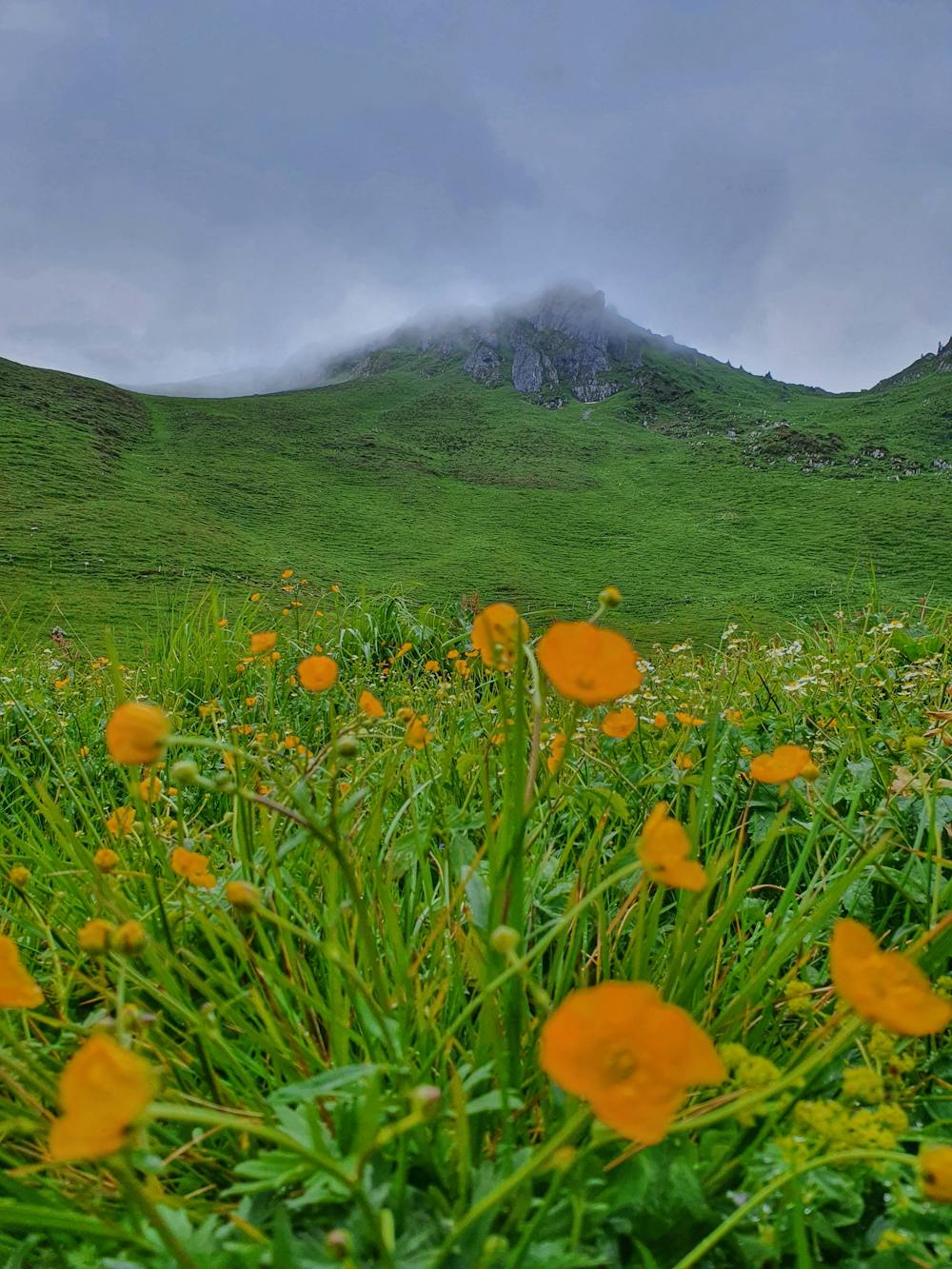
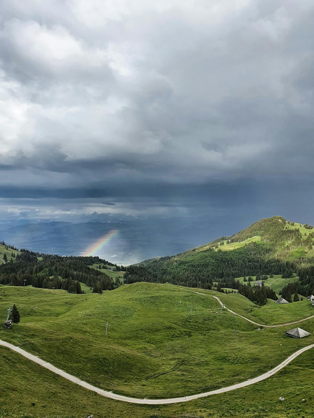
Die Wanderung ist sehr schnell begehbar und dank Parkplatz (kostenpflichtig) gut erreichbar. Die Aussicht ist für den kurzen Aufstieg der absolute Wahnsinn. Auf dem Gipfel gibt es Sicherungen da der Grat etwas ausgestellt ist (man sollte Trittsicher sein weiter oben).
Difficulty
Difficult
Hiking trails where obstacles such as rocks or roots are prevalent. Some obstacles can require care to step over or around. At times, the trail can be worn and eroded. The grade of the trail is generally quite steep, and can often lead to strenuous hiking.
Medium Exposure

The trail contains some obstacles such as outcroppings and rock which could cause injury.
Remoteness

Little chance of being seen or helped in case of an accident.
Best time to visit
Features
- Picturesque
- Summit Hike
- Dog friendly
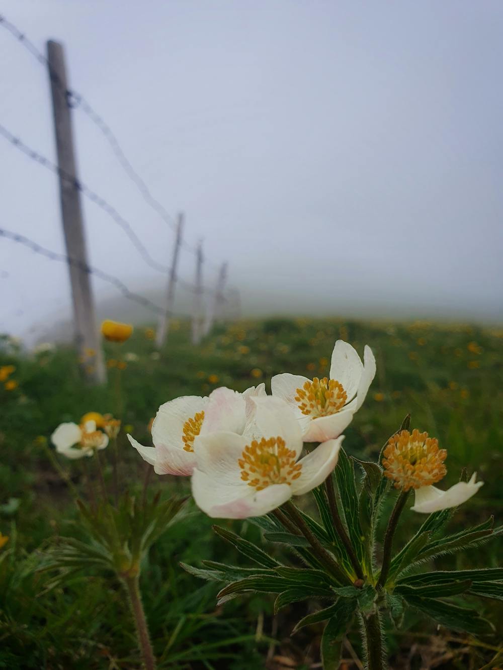
- Wild flowers
- Family friendly