8.3 km away
Lake Brienz West Loop
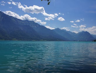
An easy family friendly MTB-tour of Interlaken’s beautiful Lake Brienz.
Easy Mountain Biking
- Distance
- 24 km
- Ascent
- 861 m
- Descent
- 861 m
Day 4 of the exhilarating MTB Transalp from Lucerne to Aosta
Mountain Biking Severe

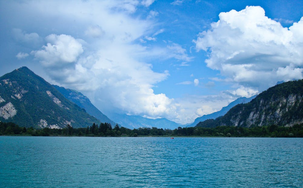
Begin the day with a steep climb up the Leissigen Panorama Trail. At some points you’ll need to get off and carry your bike, which is an excellent opportunity to turn around and look at the glistening deep blue Lake Thun below! First, you’ll hit Aeschiried. Then, you'll continue south through the Kiental Valley to Frutigen. The last stretch after Frutigen is all vibrant green fields and small patches of woodland until you eventually cross the river Entschlige into Adelboden. Sources https://www.mtb-news.de/forum/t/ta-vierwaldstaettersee-lac-leman.688902/
Severe
Widely variable, narrow trail tread with steeper grades and unavoidable obstacles of 15in/38cm tall or less. Obstacles may include unavoidable bridges 24in/61cm wide or less, large rocks, gravel, difficult root sections, and more. Ideal for advanced-level riders.

Some trail sections have exposed ledges or steep ascents/descents where falling could cause serious injury.

Away from help but easily accessed.
8.3 km away
An easy family friendly MTB-tour of Interlaken’s beautiful Lake Brienz.
Easy Mountain Biking
8 routes · Mountain Biking