3 routes · Freeride Skiing
Freeride Skiing Severe

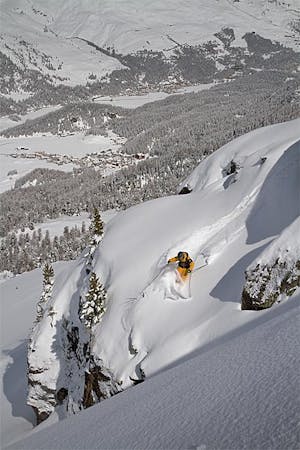
This is a popular freeride skiing route which is generally considered to be severe. It's an unknown remoteness, it features unknown exposure and is typically done in an unknown time of year. From a low point of 2 km to the maximum altitude of 2.9 km, the route covers 4 km, 9 vertical metres of ascent and 941 vertical metres of descent.
null
Severe
Steep skiing at 38-45 degrees. This requires very good technique and the risk of falling has serious consequences.
3 routes · Freeride Skiing