4 routes · Alpine Climbing · Hiking
A steady walk in which can be MTB assisted, or via a horse drawn cart!
Hiking Difficult

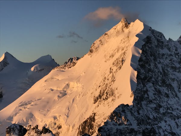
The Tschierva Hut is ideally situated in full view of, and well positioned for, the Biancograt on the Piz Bernina. This famous route, although not the easiest way up Piz Bernina, draws many people every year due to its beauty and photogenic lines. The hut is at a good height to help acclimatise, so why not spend two nights there? We did exactly that when we climbed Piz Bernina by the Biancograt, climbing Piz Morteratsch the day before. This provided amazing views and photos of the Biancograt, as well as providing ideal acclimatisation.
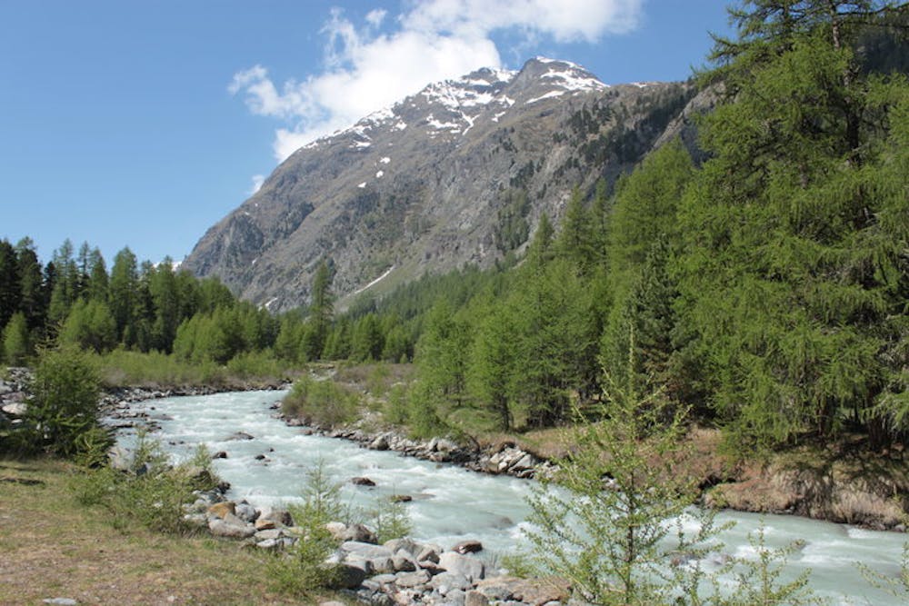
Starting from Pontresina you have 3 options. Walking is the simplest, up the long valley heading S, past the Roseg Hut at 1999m. Quicker is to approach by mountain bike. We managed to bike well beyond the Roseg Hut, to near a footbridge in the trees at 2020m. We did lock the bikes, but you might not even need to, as Switzerland is pretty low crime. Or if you are feeling rich or lazy or both, why not take the horse drawn cart to save your legs? In any case you may well have come by car. We found the least expensive place to park was exactly where the route is marked as starting, down behind a triangular shaped building. You can approach up either side of the river, but we chose the L side in ascent, as it provides more tree cover. You need to be on the opposite side of the river at the level of the Roseg Hut. Once you have crossed the bridge over the river draining the Misaun glacier, where we left our bikes, the path climbs more steeply, onto an old lateral moraine, then to the hut on the L.
Difficult
Hiking trails where obstacles such as rocks or roots are prevalent. Some obstacles can require care to step over or around. At times, the trail can be worn and eroded. The grade of the trail is generally quite steep, and can often lead to strenuous hiking.

The trail contains some obstacles such as outcroppings and rock which could cause injury.
Away from help but easily accessed.
4 routes · Alpine Climbing · Hiking