6.8 km away
Jenatsch Hut to Bergün
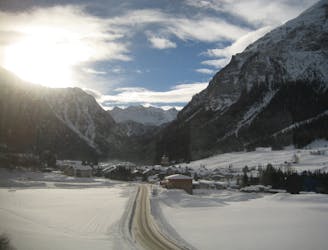
A crucial exposed rising traverse early on, followed by mellow terrain and an amazing 1500m descent
Difficult Ski Touring
- Distance
- 15 km
- Ascent
- 486 m
- Descent
- 1.8 km
long way direct to calderas
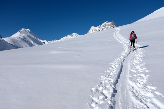
Ski Touring Difficult

This is a popular ski touring route which is generally considered to be difficult. It's remote, it features medium exposure (e2) and is typically done between February and April. From a low point of 1.7 km to the maximum altitude of 3.4 km, the route covers 15 km, 1755 vertical metres of ascent and 819 vertical metres of descent. You'll need skins, ice axe, crampons and glacier kit to complete it safely.
From the village of Sur, a direct route to Calderas and descent to Jenatsch hut. Various ambient, with a short steep couloir before the glacier. Easy a nice descent to Jenatsch hut.
Difficult
Serious gradient of 30-38 degrees where a real risk of slipping exists.

As well as the slope itself, there are some obstacles (such as rock outcrops) which could aggravate injury.
Away from help but easily accessed.
6.8 km away
A crucial exposed rising traverse early on, followed by mellow terrain and an amazing 1500m descent
Difficult Ski Touring
8.3 km away
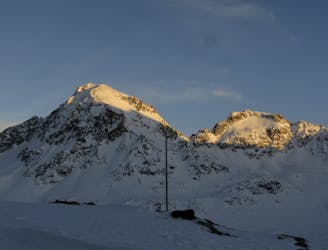
An ideal introductory day, with one long slow climb and a N facing descent
Moderate Ski Touring
6 routes · Ski Touring