9.1 km away
Es-cha Hut to the Kesch Hut
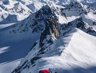
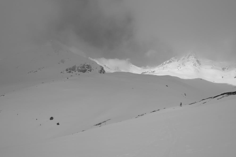
An up and over day, with a technical scramble to a col and an optional climb up the biggest peak in the area
Difficult Ski Touring
- Distance
- 6.9 km
- Ascent
- 870 m
- Descent
- 840 m
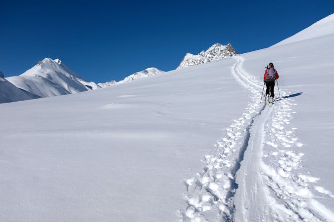
An adventure not to be underestimated: among woods, remote valleys and a technical couloir to reach the top
Ski Touring Severe

Depart from Samedan, Funtanella locality, in correspondence of the lift system. Parking here requires a toll.
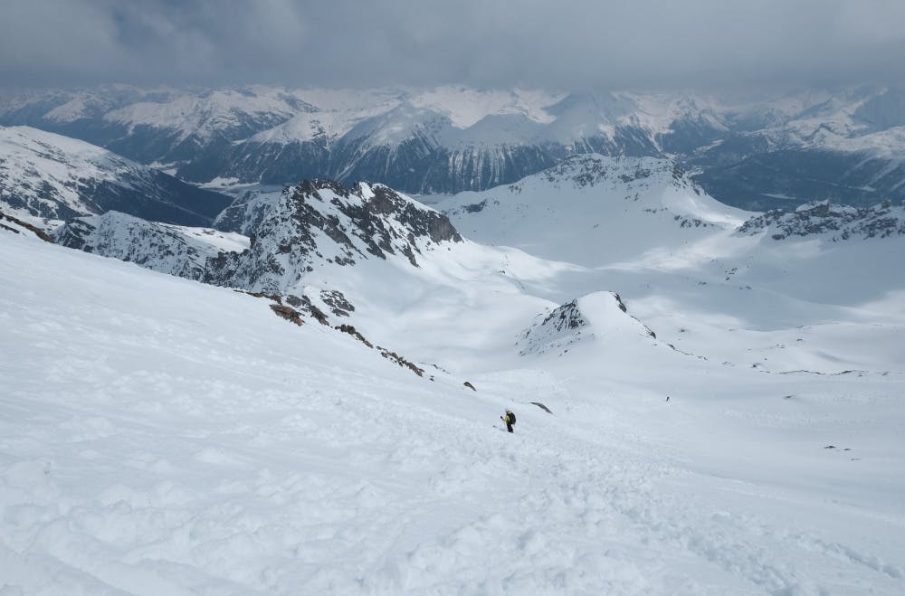
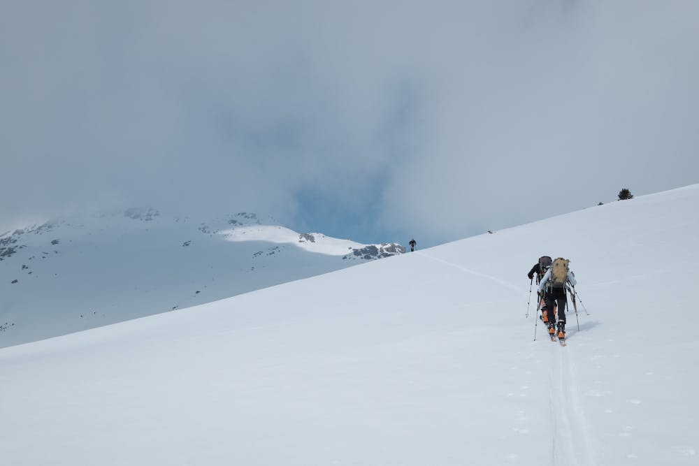
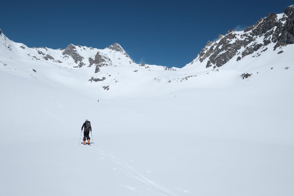
Start by going up along the track of the ski slope, once the top of the lifts is reached enter the narrow valley on your left (west-SouthWest). This is a protected area for which it is necessary to remain on the track of the delimited path in order to not endanger wildlife. Reaching the Alp Munt (i.e. at the end of the wooded section) turn NorthWest to Margunin, where a saddle leads to the slopes of Sass Alv. From here remain on the plateau that continues into the Valletta (proper name of the valley that opens), continuing always towards the West, then head in a north-western direction at an altitude of about 2650, going in the direction of a wide canal a little steep that opens in front of the Piz Ot, now clearly visible.
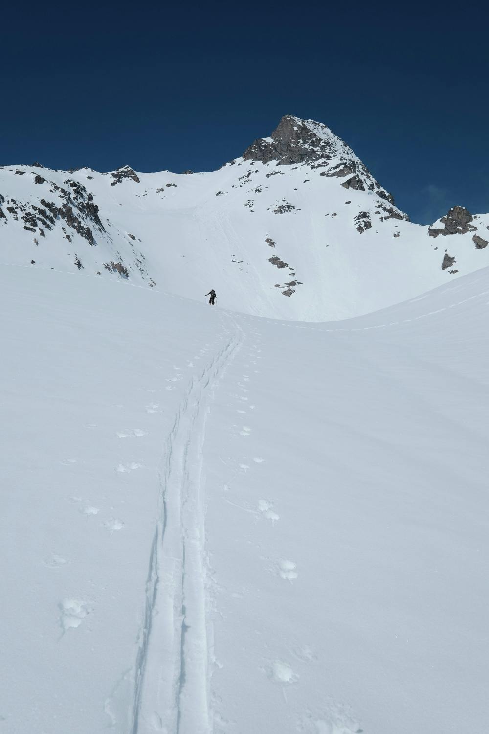
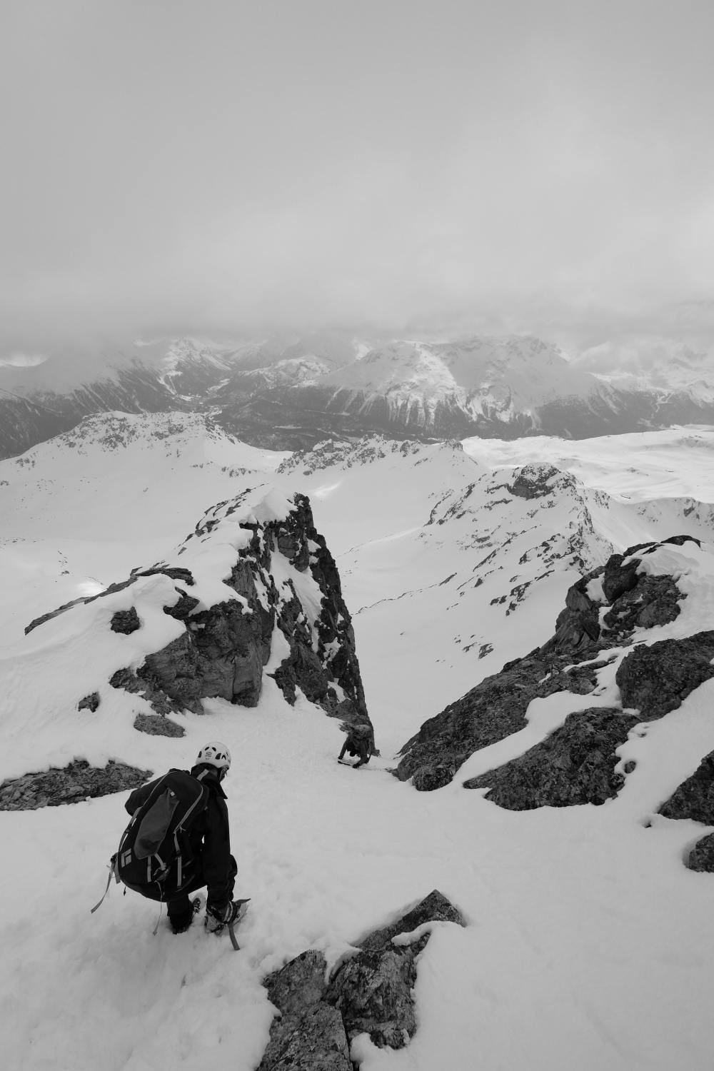
Go up the channel up to about half of its height, then turn to the right (west) to reach the ridge of Botta Naira, which runs along the rocky ridge of Las Set Rosas, offering a more comfortable way to climb towards the second wall that separates from Piz Ot. Continuing towards NorthEast enter the little valley that opens under the Piz Ot, reaching the second wall, which can be passed easily by keeping first on the left near the rocks, then cutting towards the right (Avalanches have often been reported on this slope).
At the peak of this second wall a small, less steep section allows to breath, before facing the last wall that leads to the ski deposit, located on the slopes of the channel with a maximum slope of 50 ° which must be passed with pikes and crampons.
At the top, the view is breathtaking.
Descent among the climbing route. A change can be made on the last section before the beginning of the forest bi descending the first wide valley encountered at an height of 2300 while exiting the Valletta.
Severe
Steep skiing at 38-45 degrees. This requires very good technique and the risk of falling has serious consequences.

As well as the slope itself, there are some obstacles (such as rock outcrops) which could aggravate injury.
Away from help but easily accessed.
9.1 km away
An up and over day, with a technical scramble to a col and an optional climb up the biggest peak in the area
Difficult Ski Touring
6 routes · Ski Touring