8.4 km away
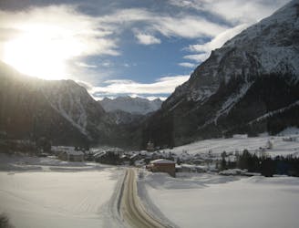
Julierpass to Jenatsch Hut
An ideal introductory day, with one long slow climb and a N facing descent
Moderate Ski Touring
- Distance
- 7.5 km
- Ascent
- 937 m
- Descent
- 486 m
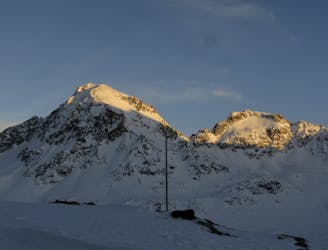
A red-tinted crest between the lakes of St. Moritz and Silvaplana
Ski Touring Moderate

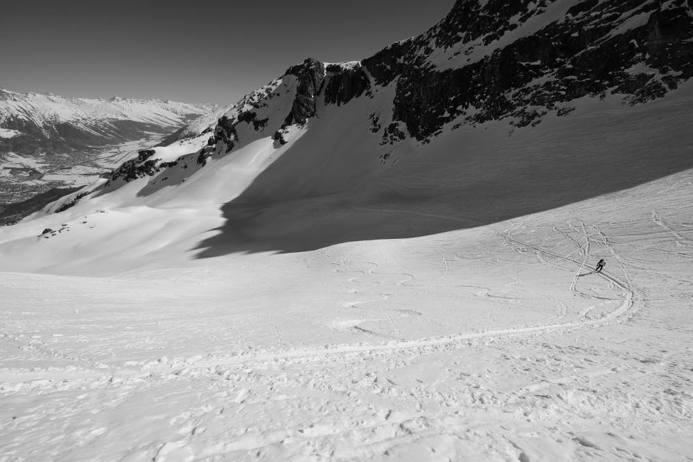
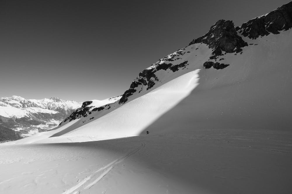
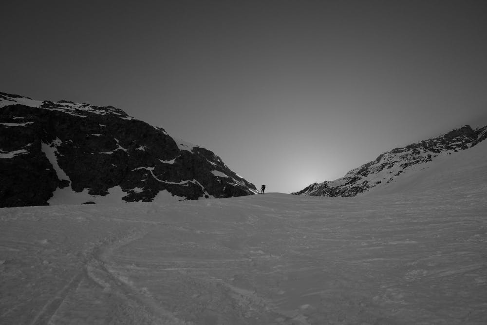
This is a popular ski touring route which is generally considered to be moderate. It's not remote, it features medium exposure (e2) and is typically done between February and May. From a low point of 1.8 km to the maximum altitude of 3.1 km, the route covers 12 km, 1392 vertical metres of ascent and 1391 vertical metres of descent. It's graded 3.1 and Labande grade 3. You'll need skins and crampons to complete it safely.
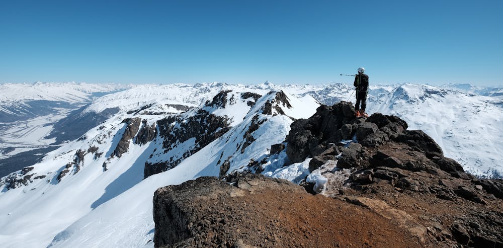
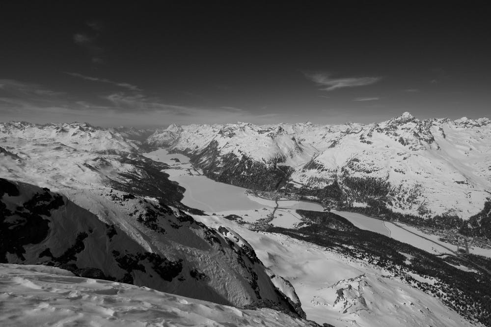
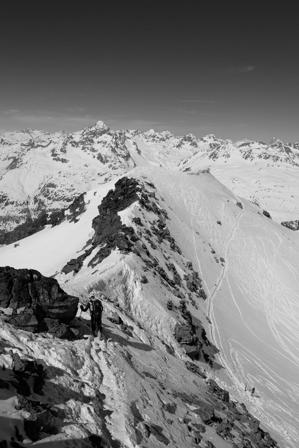
A great itinerary starting from the woodlands behind St. Moritz. Rise above an immaculate forest amond a wide bowl, reaching the last remnants of a small glacier. After climbing a steep wall reach the red ridges of one of the most panoramic peaks in the area.
Moderate
Slopes become slightly steeper at around 25-30 degrees.

As well as the slope itself, there are some obstacles (such as rock outcrops) which could aggravate injury.

Close to help in case of emergency.
8.4 km away
An ideal introductory day, with one long slow climb and a N facing descent
Moderate Ski Touring
9.5 km away
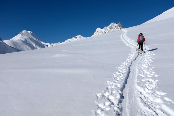
A crucial exposed rising traverse early on, followed by mellow terrain and an amazing 1500m descent
Difficult Ski Touring
6 routes · Ski Touring