40 m away
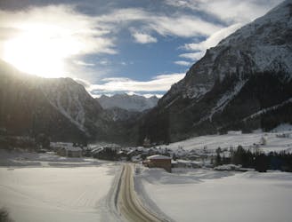
Julierpass to Jenatsch Hut
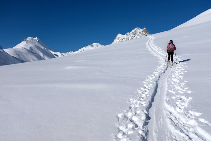
An ideal introductory day, with one long slow climb and a N facing descent
Moderate Ski Touring
- Distance
- 7.5 km
- Ascent
- 937 m
- Descent
- 486 m
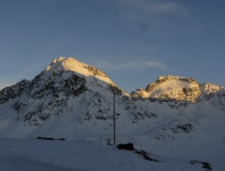
Panoramic and very long itinerary, fully crossing Val d'Agnel and touching Jenatsch hut
Ski Touring Moderate

From the car park below the hospice of the view, take the Val d'Agnel, covering it along its entire length in a northerly direction, then turning eastwards to reach the Fuorcla d'Agnel. From here go down to the Jentasch hut and continue east for a hundred meters, reaching the entrance of a valley to be traveled in a southerly direction up to an altitude of 2860, where the route bends again eastwards in the direction of Piz Traunter Ovas. After passing a small, fairly sloping fork, Piz Surgonda can finally be seen heading south. Continue along this direction until you reach an attachment point on the wide ridge that then leads to the summit. Then go down the Val D'Agnel trying (if possible) to skirt the West side of the Corn d'Alv to avoid having to push on the ski poles.

Moderate
Slopes become slightly steeper at around 25-30 degrees.

Exposure is limited to that of the slope itself. Getting hurt is still likely if the slope is steep and/or the snow is hard.

Away from help but easily accessed.
40 m away
An ideal introductory day, with one long slow climb and a N facing descent
Moderate Ski Touring
6.5 km away
A crucial exposed rising traverse early on, followed by mellow terrain and an amazing 1500m descent
Difficult Ski Touring
6 routes · Ski Touring