7.5 km away
Adula Bivi Hut to Splügen
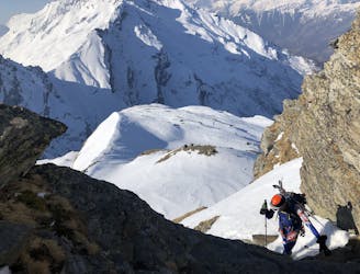
A fantastic mountaineering day over Adula, 3402m, the highest peak in the area
Difficult Ski Touring
- Distance
- 30 km
- Ascent
- 1.7 km
- Descent
- 2.2 km
One of the areas best 3000er summits.
Ski Touring Difficult
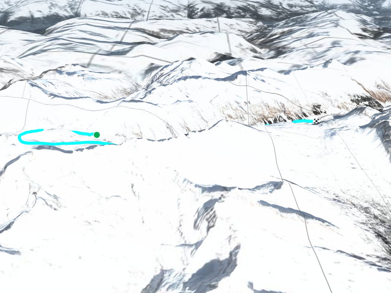
This is a popular ski touring route which is generally considered to be difficult. It's remote, it features high exposure (e3) and is typically done in undefined. From a low point of 1.6 km to the maximum altitude of 3 km, the route covers 15 km, 877 vertical metres of ascent and 1554 vertical metres of descent. You'll need rope, skins, ice axe and crampons to complete it safely.
A challenging but very beautiful 3-sided summit period to Rheinquellhorn (3200m) with a north descent to Hinterrhein.
Difficult
Serious gradient of 30-38 degrees where a real risk of slipping exists.

In case of a fall, death is highly likely.

Away from help but easily accessed.
7.5 km away
A fantastic mountaineering day over Adula, 3402m, the highest peak in the area
Difficult Ski Touring