8.9 km away
Campra to Adula Bivi Hut
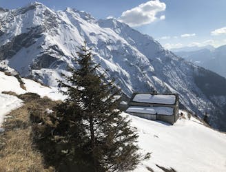
Walk to Olivone then a steep climb through trees, then a mellow skin to a fantastic hut
Easy Ski Touring
- Distance
- 19 km
- Ascent
- 1.3 km
- Descent
- 694 m
A fantastic mountaineering day over Adula, 3402m, the highest peak in the area
Also in Graubünden, Switzerland
Ski Touring Difficult

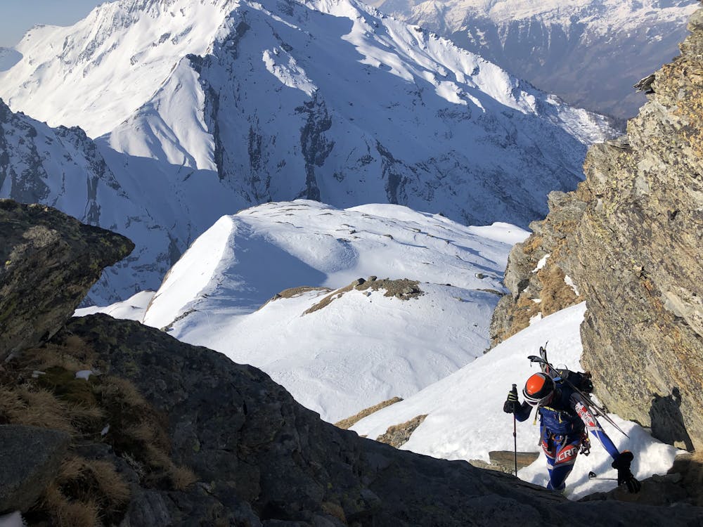
You are more than likely to have this summit ascent to yourself, as it is the highest in the area and there is no lift access to help you. It is a big climb from the hut, with a long horizontal on a high glacier. We were extremely glad to be doing this first thing in the morning, as the slopes are very steep in places and face due S. Equally the descent faces E and was a delight in the morning sun. The route is obvious past the higher of the 2 bivi huts, to a shoulder just below spot height 2641m. We doubled back on ourselves NW, carrying skis, with crampons on, for a short distance through steep mixed ground, to gain much easier angled terrain at 2700m.

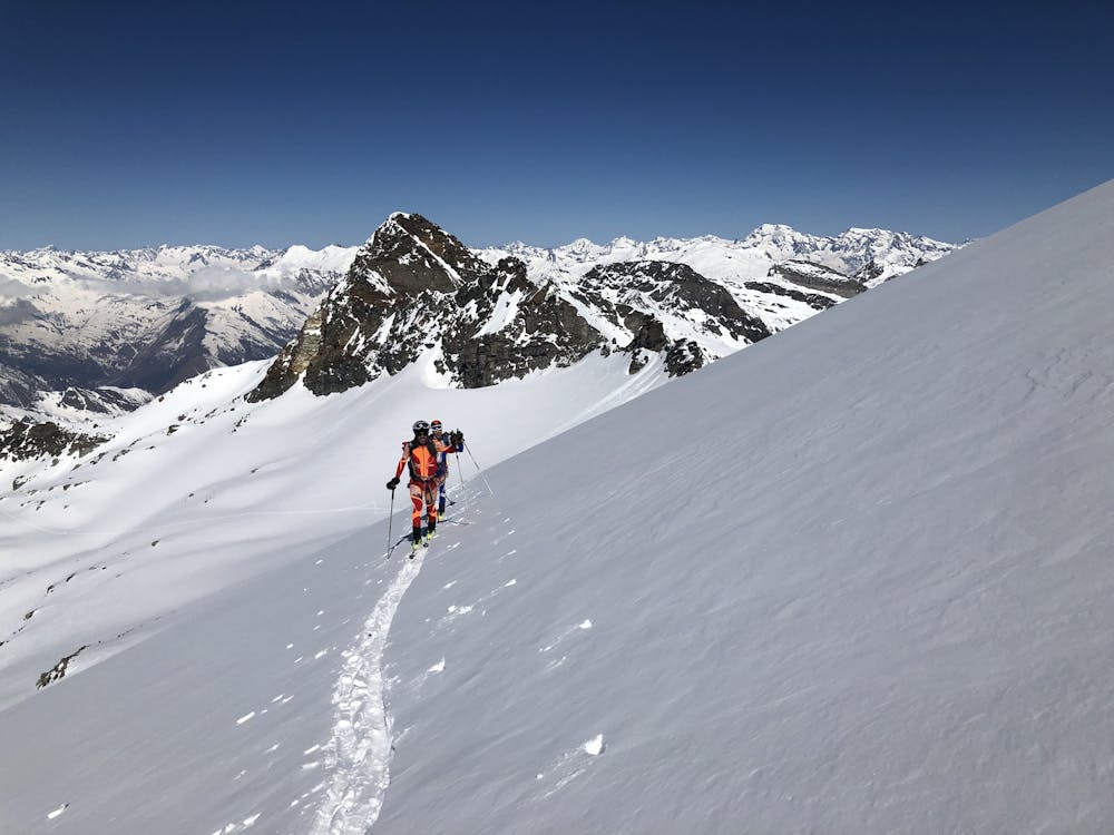
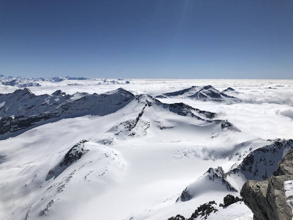
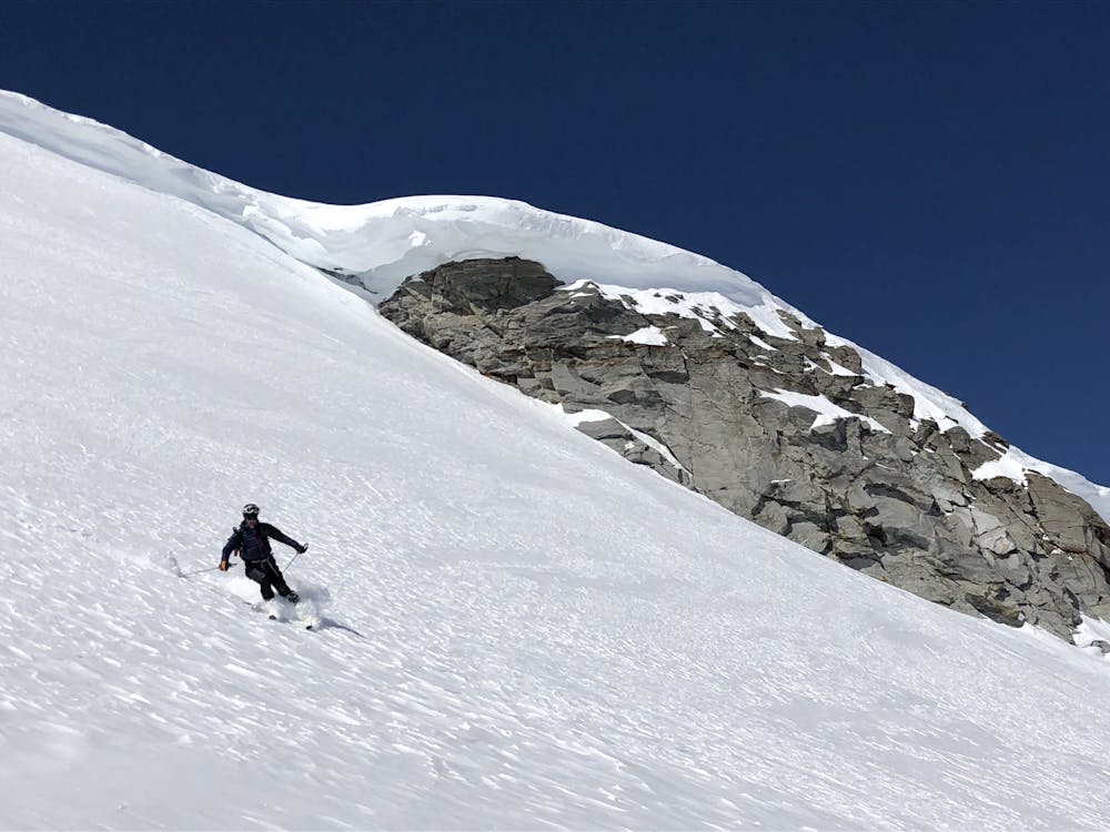
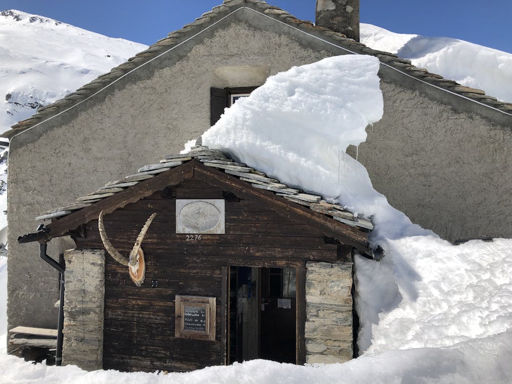
From here it is a long, gentle and traversing skin up the glacier under the Grauhorn, heading NE, E, then SE to get to the Adulajoch. A simple scramble remains up the easy ridge to the summit of the Adula, 3402m or Rheinwaldhorn as it is also known. The views are magnificent and you can be happy in the knowledge that you have a fantastic ski down ahead of you. There are a couple of possible lines to ski down from the Adulajoch. We chose to descend very steeply E on perfect powder, then NE, E and SE, now on spring snow, down to easy ground at about 2400m. A thousand metres of descent heaven! The stream bed leads you easily to the Zapport Hut at 2276m. The gorge near here can be a little tricky to cross, but it is best to do so, to continue your descent all the way down the valley.
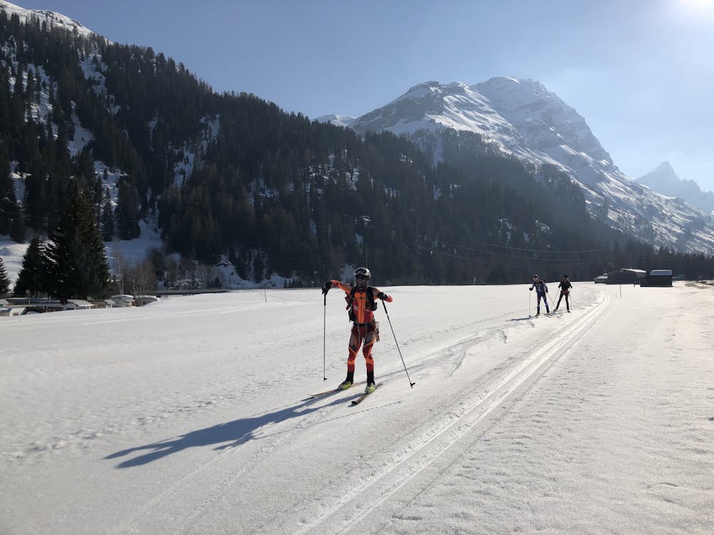
Most will take the sensible option of getting a local bus down the road. We linked the odd road section, but mainly skiing and skating down tracks on the S side of the river, with the hillside providing some shade to prevent some of the snow melting. We managed 80% or so on snow, all the way to the sleepy, pretty village of Splügen at 1475m, roughly 2000m below the summit earlier in the day.
Difficult
Serious gradient of 30-38 degrees where a real risk of slipping exists.

As well as the slope itself, there are some obstacles (such as rock outcrops) which could aggravate injury.

In the high mountains or remote conditions, all individuals must be completely autonomous in every situation.
8.9 km away
Walk to Olivone then a steep climb through trees, then a mellow skin to a fantastic hut
Easy Ski Touring