
4 routes
Explore Ticino with curated guides of the best hiking trails, ski routes, and more. With over 27 3D trail maps in FATMAP, you can easily discover and navigate the best trails in Ticino.
No matter what your next adventure has in store, you can find a guide on FATMAP to help you plan your next epic trip.
Get a top trail recommendation in Ticino from one of our 1 guidebooks, or get inspired by the 27 local adventures uploaded by the FATMAP community. Start exploring now!
4 routes
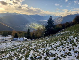
Staggering views, peaceful forests and traditional little mountain huts make this a classic hike
Difficult Hiking
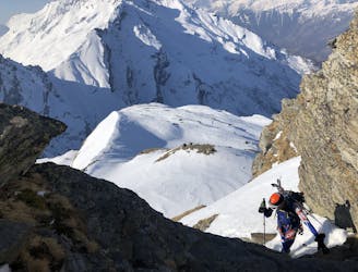
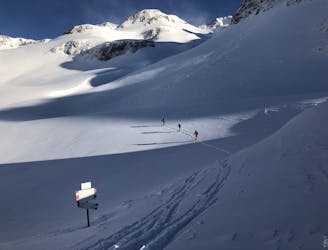
A fantastic mountaineering day over Adula, 3402m, the highest peak in the area
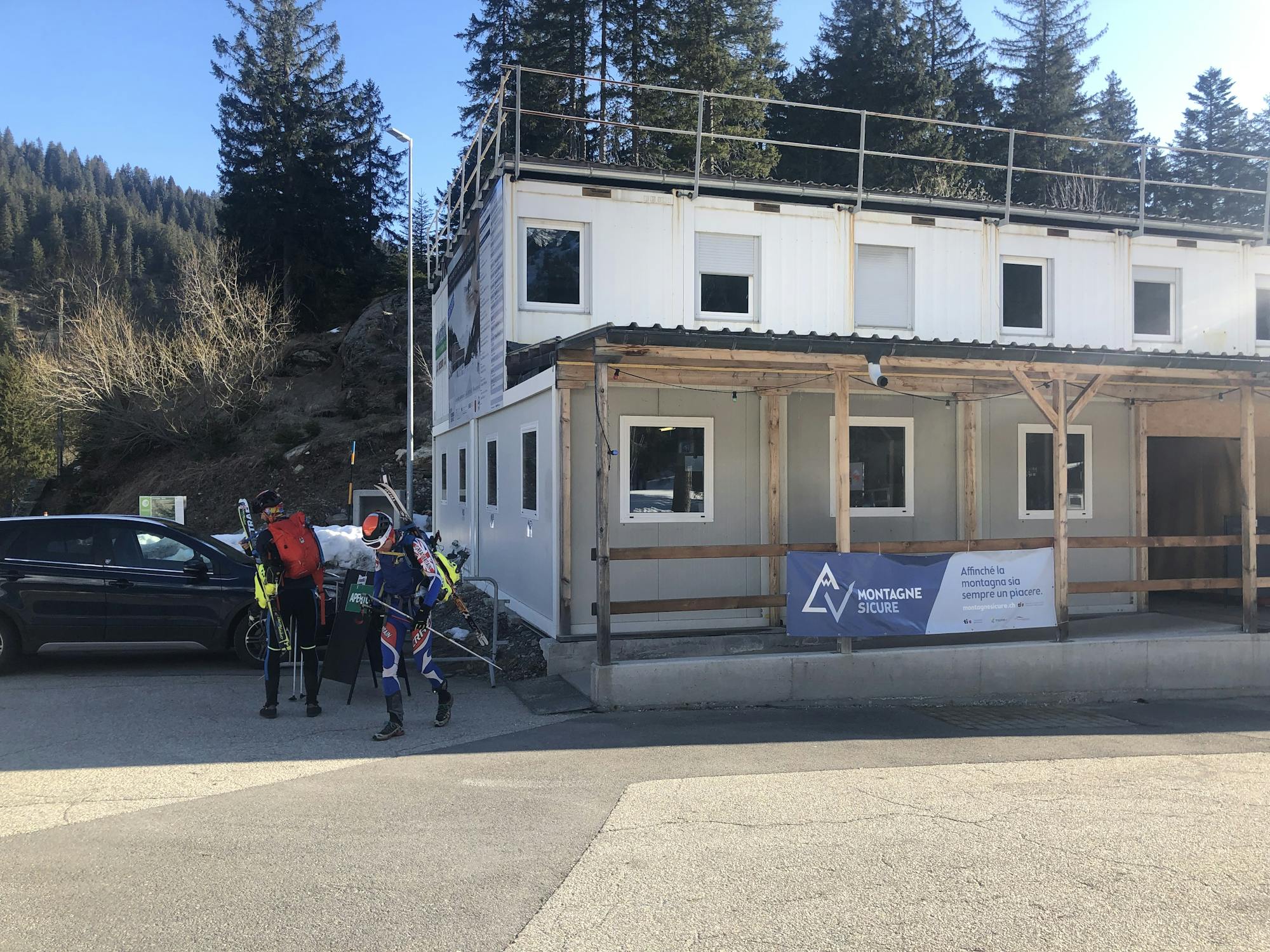
Difficult Ski Touring
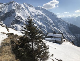
Walk to Olivone then a steep climb through trees, then a mellow skin to a fantastic hut
Easy Ski Touring

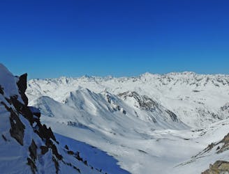
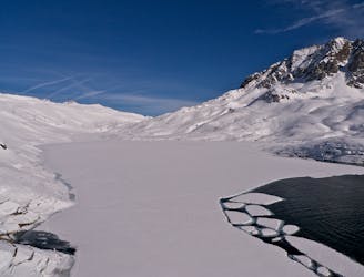
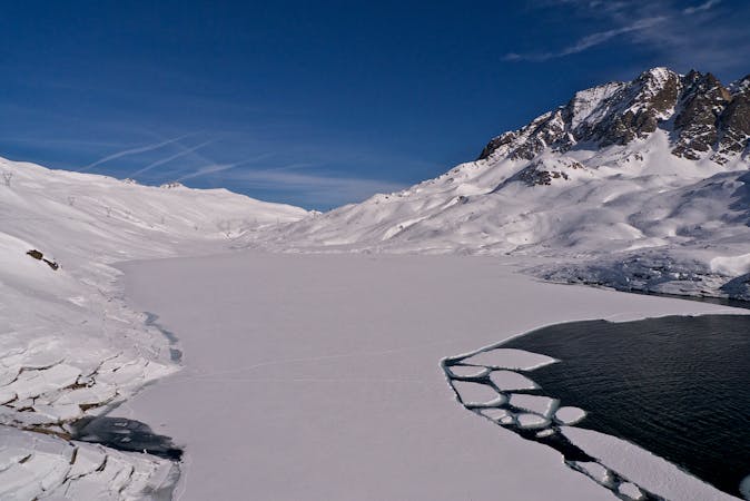
Mellow non-glaciated touring past some frozen lakes
Moderate Ski Touring
A beautiful ski tour as far as All'Acqua followed by a long flat valley
Difficult Ski Touring
Onwards and upwards! | 3 days
Moderate Ski Touring
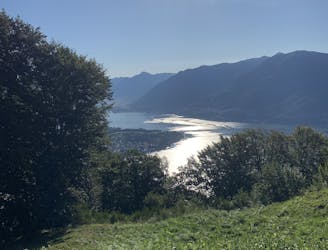
15km bike tour with incredible lake views and tricky downhill sections
Difficult Mountain Biking
Day 4: Maria Luisa Hut to Piansecco Hut
Difficult Ski Touring
6 routes · Ski Touring