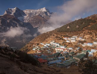
4 routes

Go hiking in Ticino with curated guides of the best hikes across the region. With over 27 3D trail maps in FATMAP, you can easily discover and navigate the best trails in Ticino.
No matter what your next adventure has in store, you can find a guide on FATMAP to help you plan your next epic trip.
Get a top hiking trail recommendation in Ticino from one of our 1 guidebooks, or get inspired by the 27 local adventures uploaded by the FATMAP community. Start exploring now!


4 routes
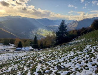
Staggering views, peaceful forests and traditional little mountain huts make this a classic hike
Difficult Hiking
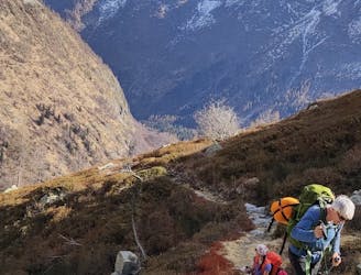
Long, secluded, Alpine! A beautiful two day hike for fit walkers in incredible surroundings
Difficult Hiking
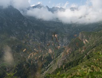
A multi day long and strenuos hut based hike, with pristine environments
Difficult Hiking

A wanderlust place, where you will feel great accomplishment if you reach the summit. "On top of the world".
Moderate Hiking

Attraverso l'altopiano della Greina, da Pian Geirett alla diga del Luzzone
Moderate Hiking

Escursione lungo l'antica valle dei maggenghi, la cosiddetta "valle prima del salto", a monte della bellissima cascata di Foroglio.
Moderate Hiking

Long mountain hike in the Arbedo valley and descend to Bellinzona.
Difficult Hiking
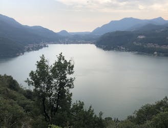
Good exercise, beautiful views and delicious food.
Moderate Hiking