Via Alta Valle Maggia by Exped Tribe
Province of Verbano-Cusio-Ossola
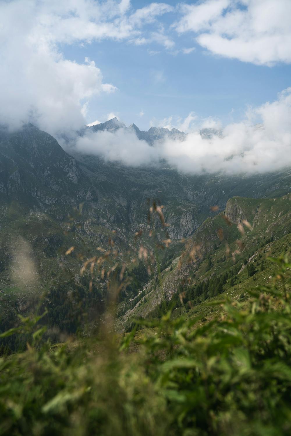
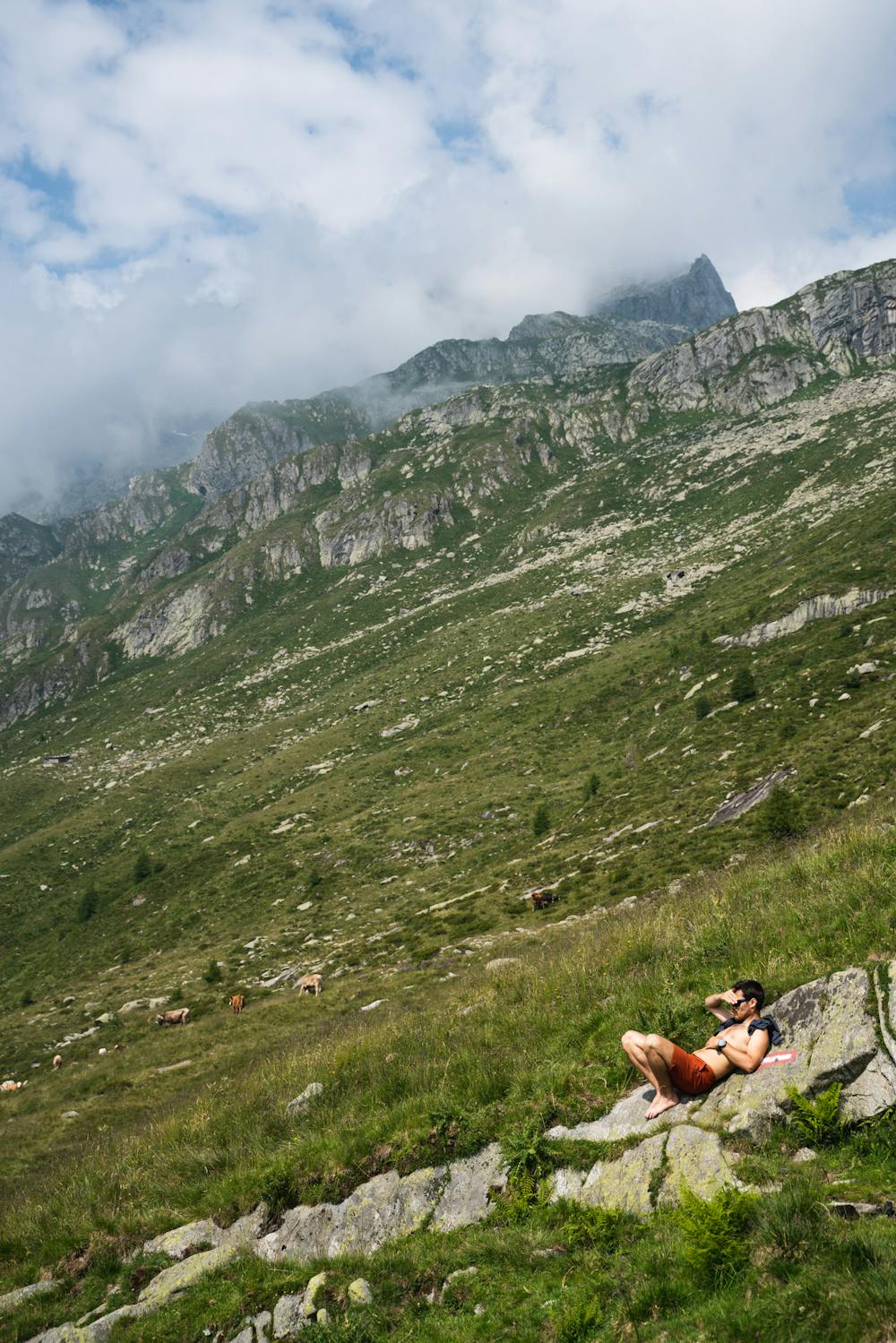
A multi day long and strenuos hut based hike, with pristine environments
Hiking Difficult
- Distance
- 169 km
- Ascent
- 13 km
- Descent
- 14 km
- Duration
- 1 day +
- Low Point
- 241 m
- High Point
- 2.8 km
- Gradient
- 20˚

Long, Alpine, Strenuos - but incredibly satisfying! If you're looking for wide and airy landscapes, but a comfortable overnight sleep in designated huts this is a long trek to attend! If you want to find more alpine treks in Switzerland join us on: https://www.expedtribe.com/en/Swiss-Adventures
- •
- •
Difficulty
Difficult
Hiking trails where obstacles such as rocks or roots are prevalent. Some obstacles can require care to step over or around. At times, the trail can be worn and eroded. The grade of the trail is generally quite steep, and can often lead to strenuous hiking.
Medium Exposure

The trail contains some obstacles such as outcroppings and rock which could cause injury.
Remoteness

Close to help in case of emergency.
Best time to visit
Features
- Alpine
- Picturesque
- Summit Hike
- Wild flowers
- Water features