7.3 km away
Tour de Soleil: Margaroli Hut to Maria Luisa Hut
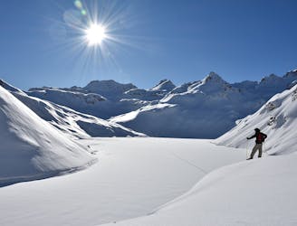
Day 3: Margaroli Hut to Maria Luisa Hut
Difficult Ski Touring
- Distance
- 9.5 km
- Ascent
- 1 km
- Descent
- 1.1 km
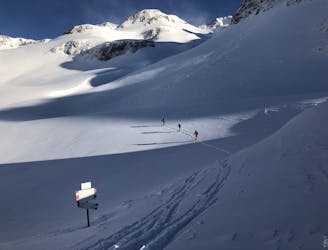
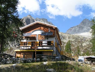
Day 4: Maria Luisa Hut to Piansecco Hut
Also in Verbano-Cusio-Ossola, Italy
Ski Touring Difficult

This is a relatively short day which can be extended in a number of ways. However in hot weather it is worth being early (and hence possibly not extending it) as the final ascent is S facing.

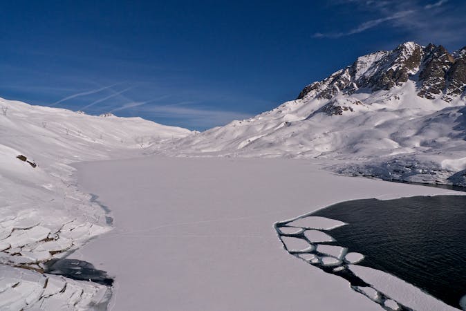
From the hut it is a flat skin across or beside Lago Toggia and gently up to the Passo San Giacomo at 2312m. An optional peak is to the N, the Punta di Elgio at 2837m, then diagonally down to the same pass- this also avoids the flat skin. From the pass enjoy the gentle NE descent, then slightly more steeply N, then NW down to the hamlet of All'Acqua at 1614m. Check beforehand that your hut is open but, assuming it is skin steeply up sunny slopes to the Piansecco Hut at 1982m. If the hut is closed you can either take your own supplies or stay in the Hotel in All'Acqua.
Difficult
Serious gradient of 30-38 degrees where a real risk of slipping exists.

In case of a fall, death is highly likely.

In the high mountains or remote conditions, all individuals must be completely autonomous in every situation.
7.3 km away
Day 3: Margaroli Hut to Maria Luisa Hut
Difficult Ski Touring
7.3 km away
A beautiful ski tour as far as All'Acqua followed by a long flat valley
Difficult Ski Touring
7.4 km away
Day 5: Piansecco to Rotondo Hut, via Witenwasserenstock
Severe Ski Touring
6 routes · Ski Touring