8 m away
Margaroli Hut to Airolo
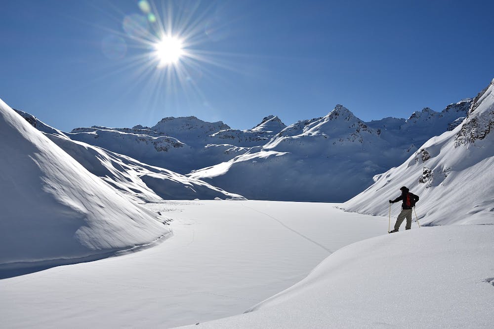
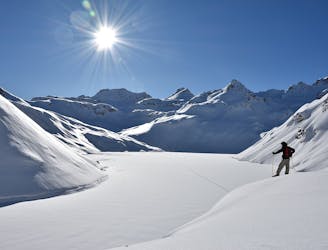
A beautiful ski tour as far as All'Acqua followed by a long flat valley
Difficult Ski Touring
- Distance
- 31 km
- Ascent
- 1.4 km
- Descent
- 2.5 km
Day 3: Margaroli Hut to Maria Luisa Hut
Ski Touring Difficult

This is a fairly straight forward day following major valley features to link the two huts.
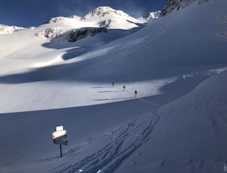
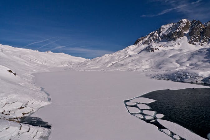
Skin from the hut up the valley to its N to the Passo di Nefelgiu at 2583m. From here there is a lovely enclosed N facing descent. Half way down you can follow the valley floor which is steeper or break out R at about 2300m, heading past a small lake at 2365m, then down the spur to the NE, then SE to the road. It is then a short distance to the charming hamlet of Riale at 1729m. From here you head NE either up the switchbacks of the summer road or making your own track if it is banked out, to the Maria Luisa Hut at 2160m. If you have spare time and energy later in the day you can head up to the Kastellucke pass at 2714m to the E.
Difficult
Serious gradient of 30-38 degrees where a real risk of slipping exists.

In case of a fall, death is highly likely.

In the high mountains or remote conditions, all individuals must be completely autonomous in every situation.
8 m away
A beautiful ski tour as far as All'Acqua followed by a long flat valley
Difficult Ski Touring
6.7 km away
Day 2: Ascent of the Ofenhorn, 3236m
Severe Ski Touring
7.3 km away
Day 4: Maria Luisa Hut to Piansecco Hut
Difficult Ski Touring
6 routes · Ski Touring