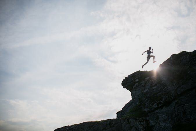
1 routes · Trail Running
For a high altitude trail run with 360 degree views of Graubünden’s glorious mountain vistas, try the Panorama Trail.
Trail Running Difficult

To reach the starting point, take the Laax-Crap Sogn Gion lift from Laax up to Crap Masegn. Head towards the impressive Vorab Glacier, following the path just beneath it. The glacier is 2km long, forming part of the Glarus Alps, and stretches across the cantons of Glarus and Graübunden. The trail takes you to Nagens where you can take the cable car all the way down to Plaun.
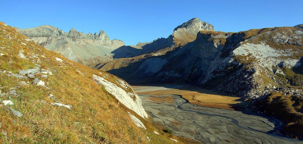
This route never drops below 2000 metres, so it's a great one if you want a short burst of high intensity running with awesome views!
Sources https://www.flimslaax.com/en/outdoor-activities/trailrunning/track/index/39928129#track-container https://www.myswitzerland.com/en/destinations/laax/
Difficult

Some trail sections have exposed ledges or steep ascents/descents where falling could cause serious injury.

Away from help but easily accessed.
1 routes · Trail Running