8.9 km away
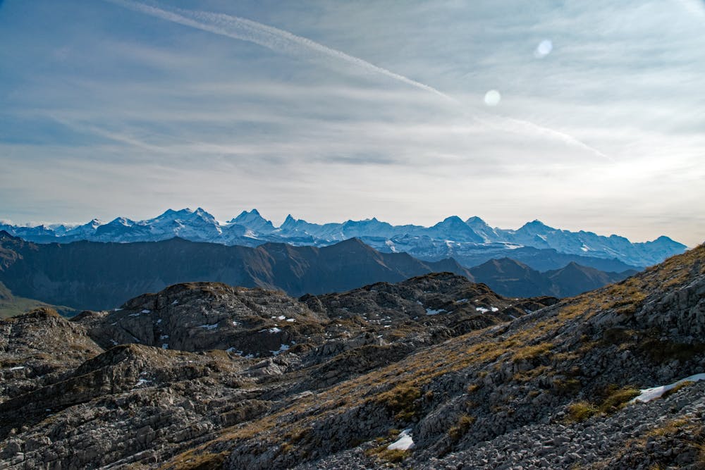
Brienz to Hardergrat
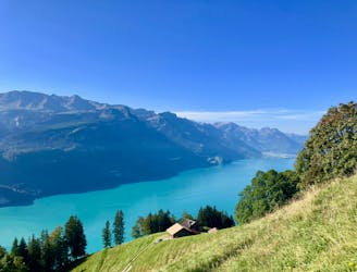
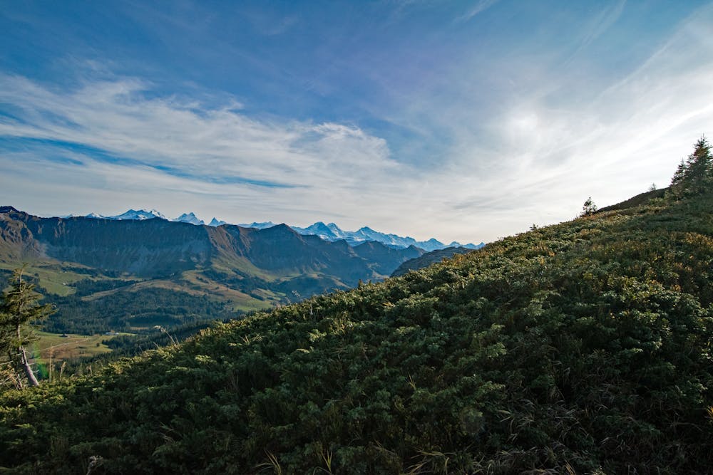
A beautiful hike to an epic ridge high above Brienz.
Difficult Hiking
- Distance
- 8.5 km
- Ascent
- 1.5 km
- Descent
- 5 m
Not too long hike on a not too easy terrain
Hiking Difficult

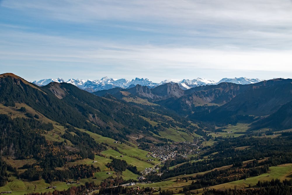
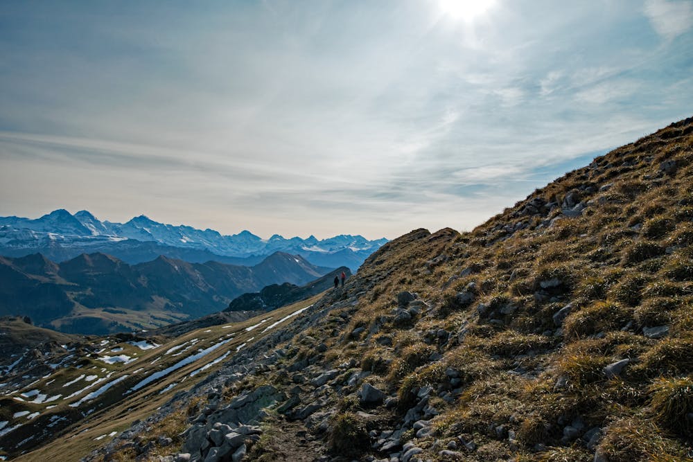
This is a popular hiking route which is generally considered to be difficult. It's remote, it features high exposure and is typically done between June and October. From a low point of 1.4 km to the maximum altitude of 2.1 km, the route covers 8 km, 664 vertical metres of ascent and 664 vertical metres of descent.
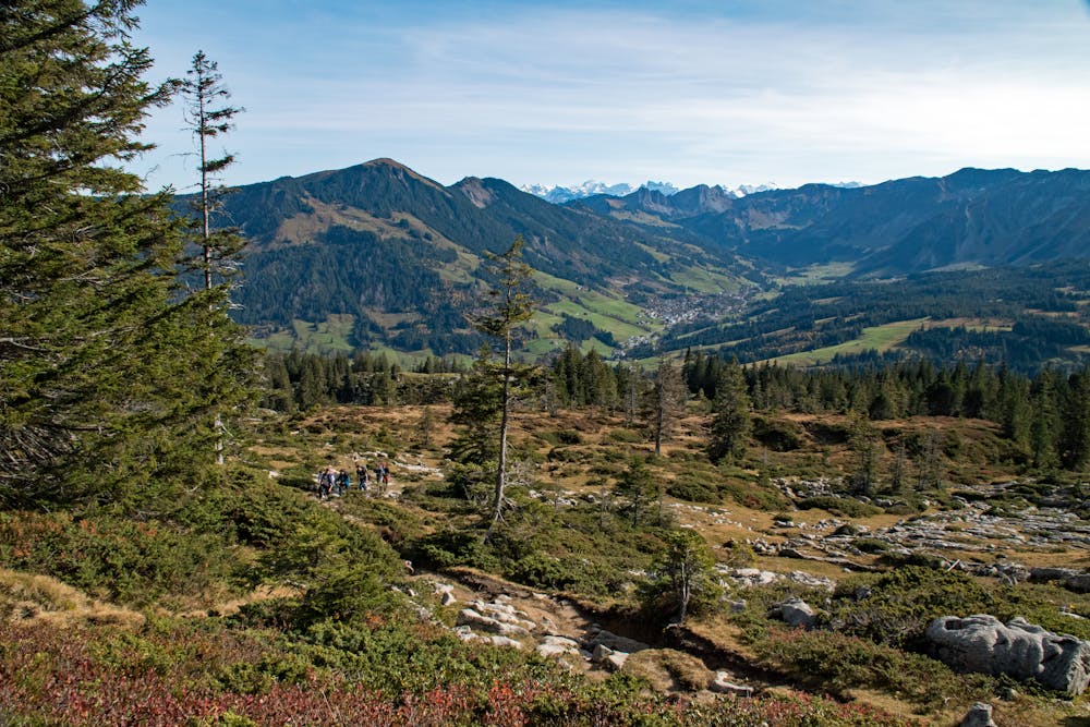
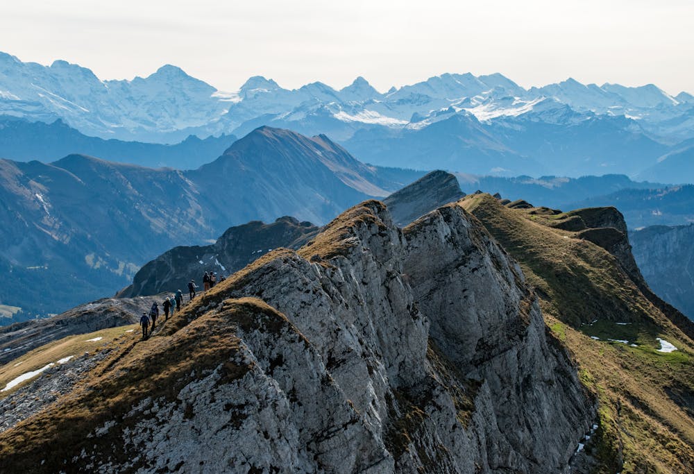
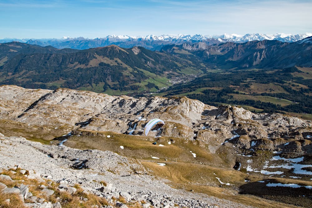
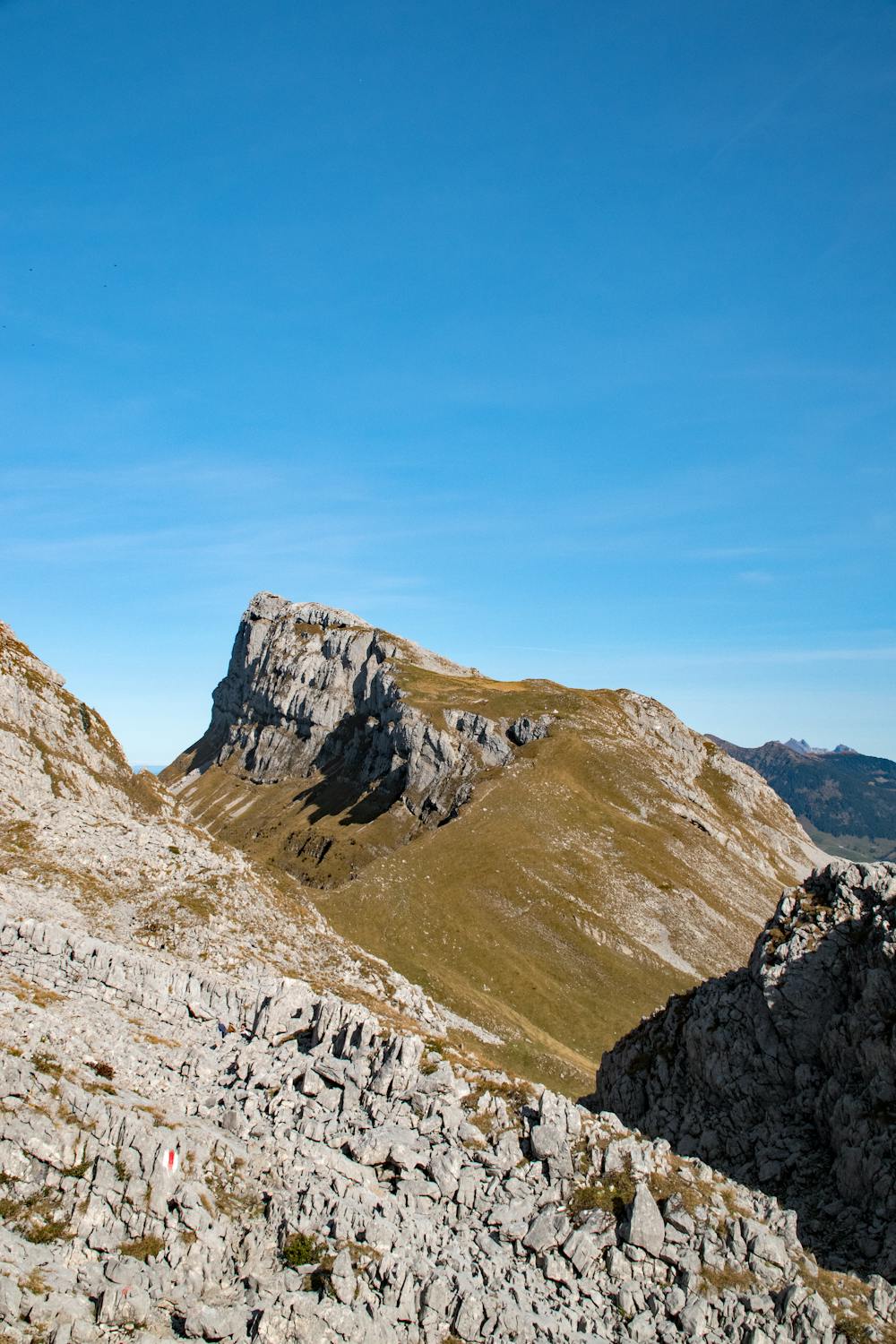
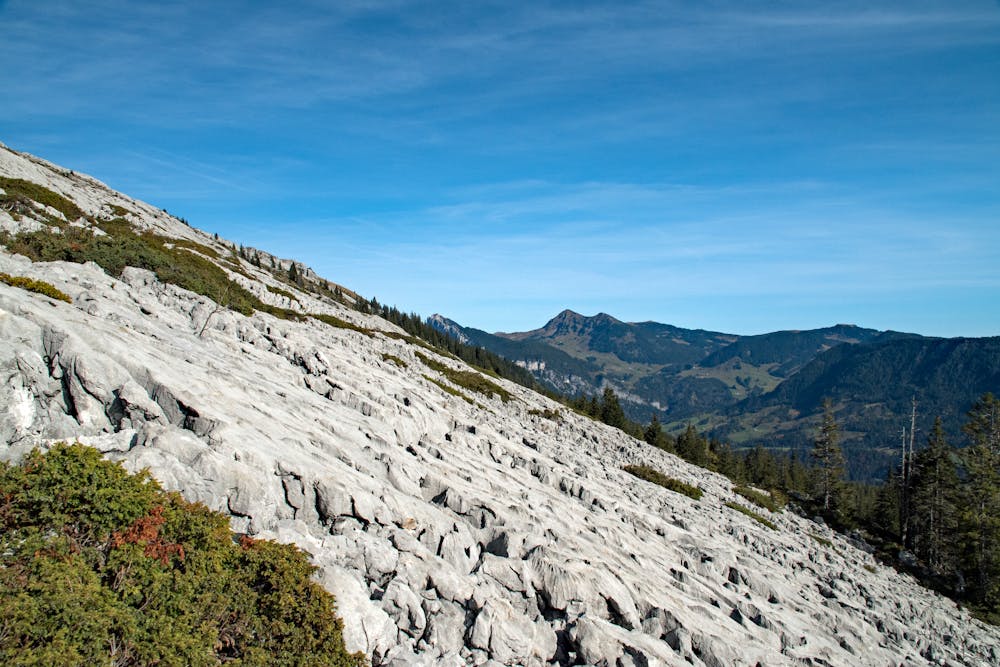

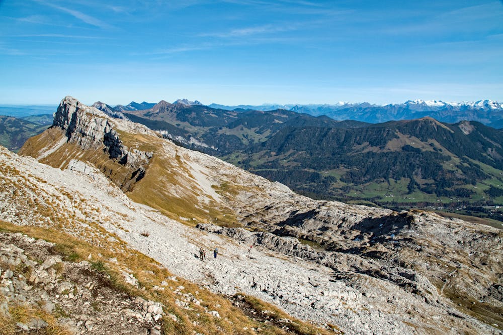
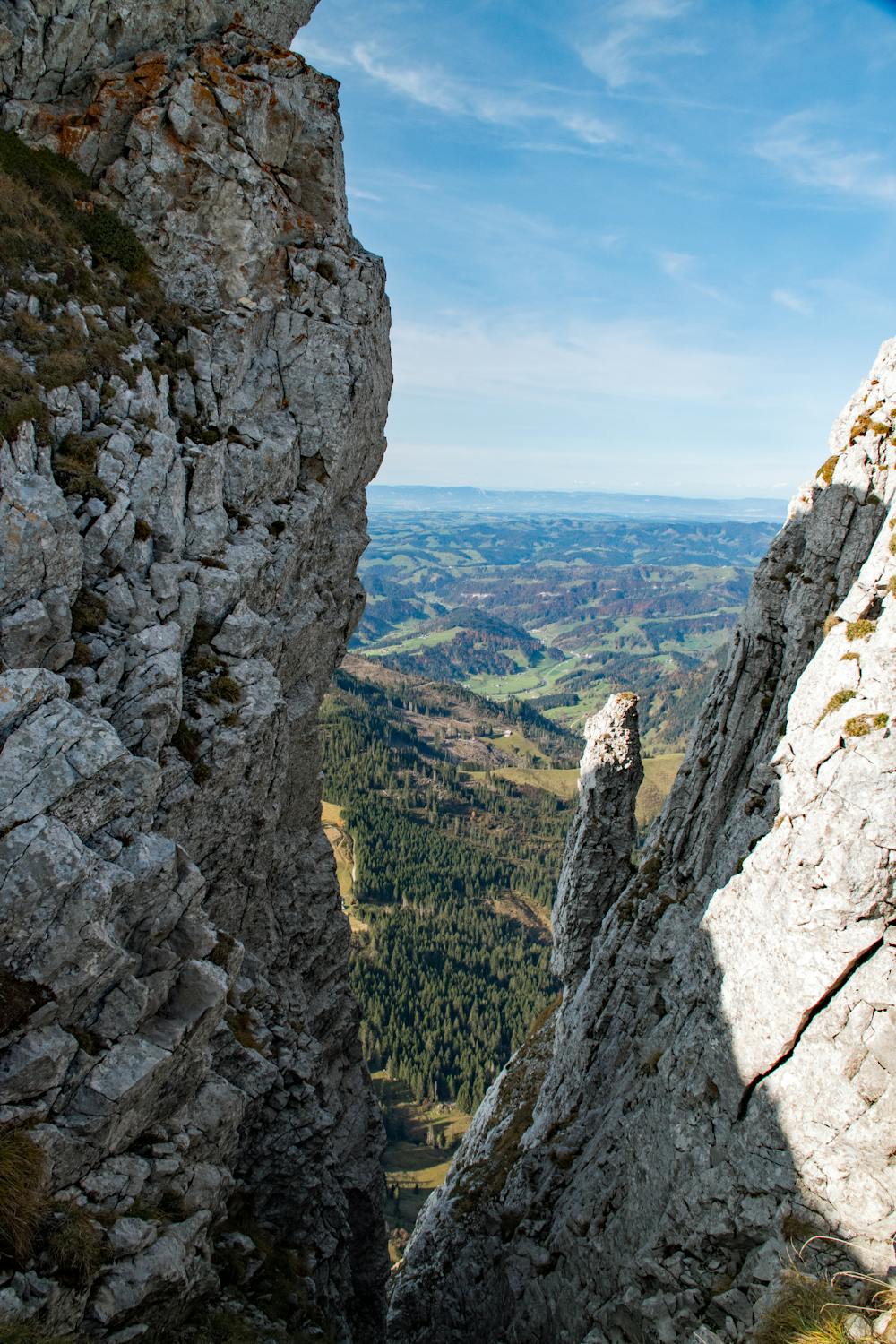
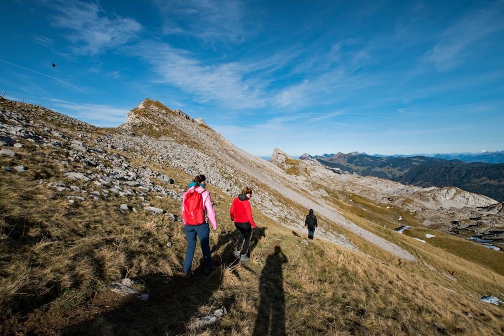
The hike takes one of the most direct ascending trail on the carsic formation of the Schrattenfluh. The ascent requires surefootedness. The way down is simpler and as direct. Not advisable to take it clockwise.
Difficult
Hiking trails where obstacles such as rocks or roots are prevalent. Some obstacles can require care to step over or around. At times, the trail can be worn and eroded. The grade of the trail is generally quite steep, and can often lead to strenuous hiking.

Some trail sections have exposed ledges or steep ascents/descents where falling could cause serious injury.

Away from help but easily accessed.
8.9 km away
A beautiful hike to an epic ridge high above Brienz.
Difficult Hiking