Emmetten Ridge Lap
Round Tour with ridges and stunning views
Hiking Severe
- Distance
- 19 km
- Ascent
- 1.7 km
- Descent
- 1.7 km
- Duration
- 6-7 hrs
- Low Point
- 995 m
- High Point
- 2.2 km
- Gradient
- 21˚

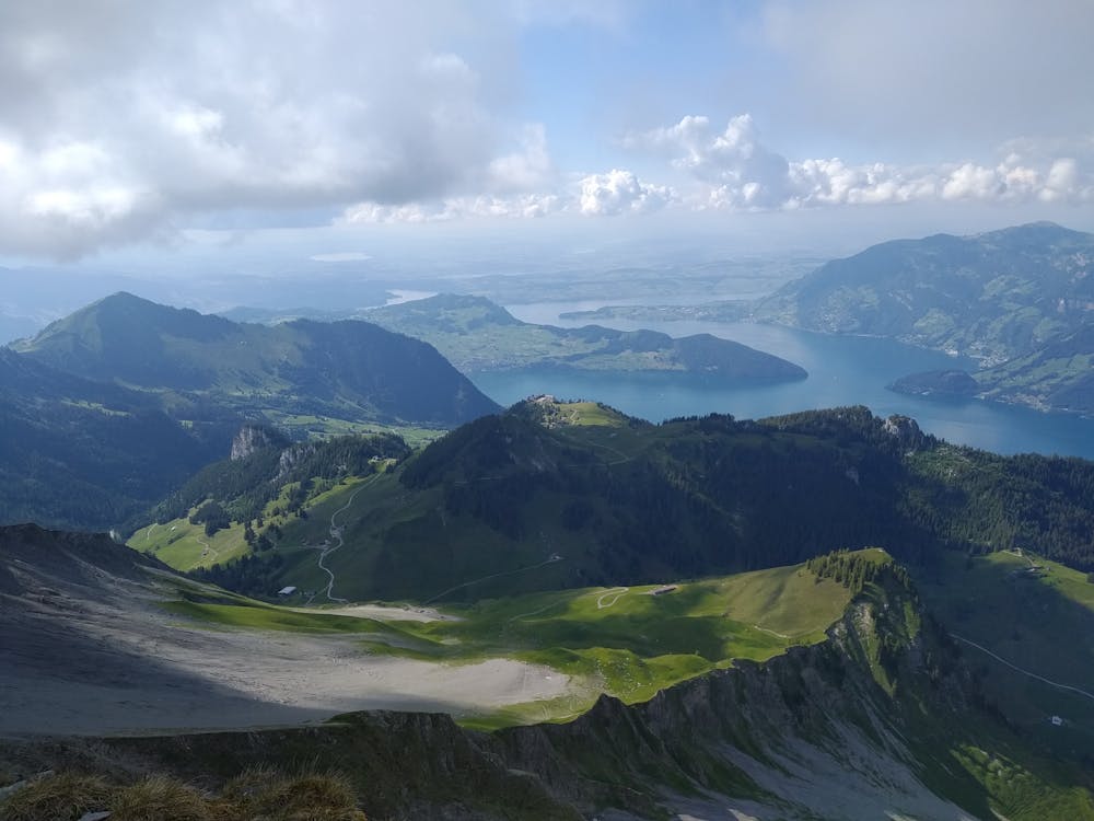
This is a popular hiking route which is generally considered to be severe. It's not remote, it features high exposure and is typically done between June and October. From a low point of 995 m to the maximum altitude of 2.2 km, the route covers 19 km, 1652 vertical metres of ascent and 1654 vertical metres of descent.
- •
- •
- •
- •
- •
- •
- •
Description
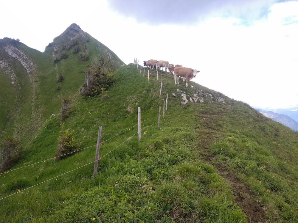
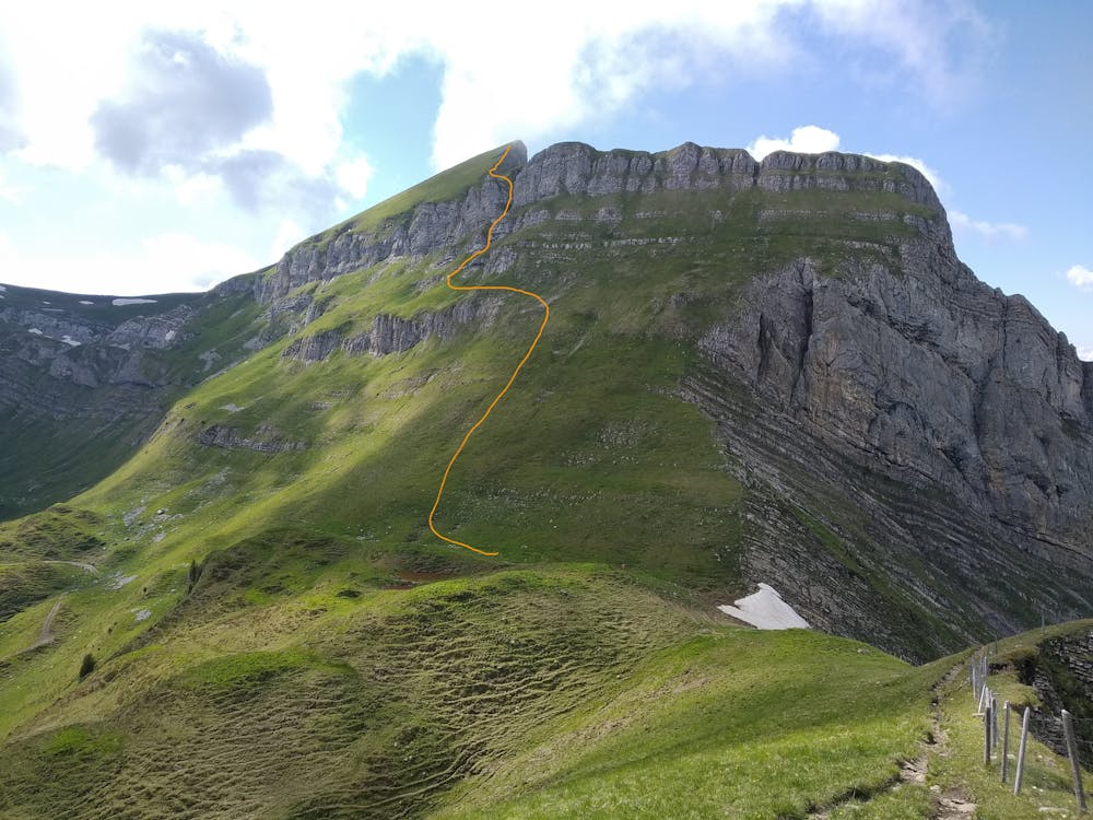
Egghütte-Faulberg-Oberbauenstock-Zingel-Gandispitz-Jochlistock-Schwalmis-Arengrat-Egghüte
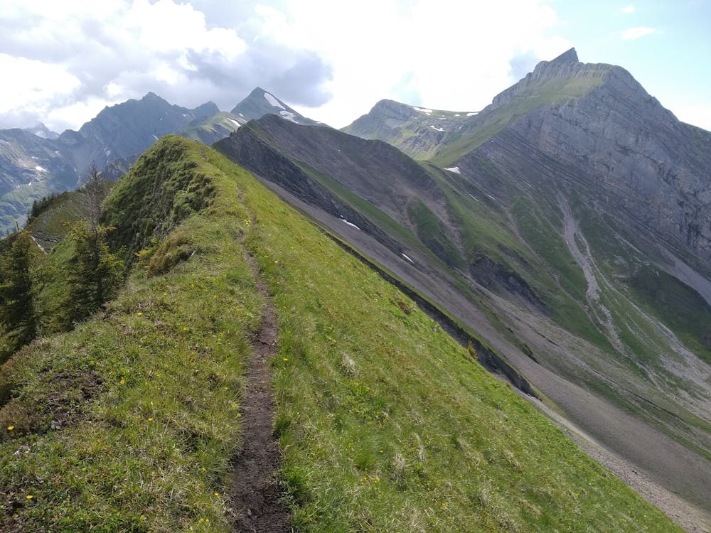
Almost all of the route is signalised expect for the Schwalmis climb and the Arengrat, but this second has a clear path easy to follow
Difficulty
Severe
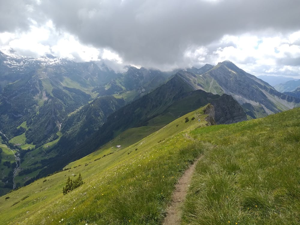
Hiking challenging trails where simple scrambling, with the occasional use of the hands, is a distinct possibility. The trails are often filled with all manner of obstacles both small and large, and the hills are very steep. Obstacles and challenges are often unexpected and can be unpredictable.
High Exposure

Some trail sections have exposed ledges or steep ascents/descents where falling could cause serious injury.
Remoteness

Close to help in case of emergency.
Best time to visit
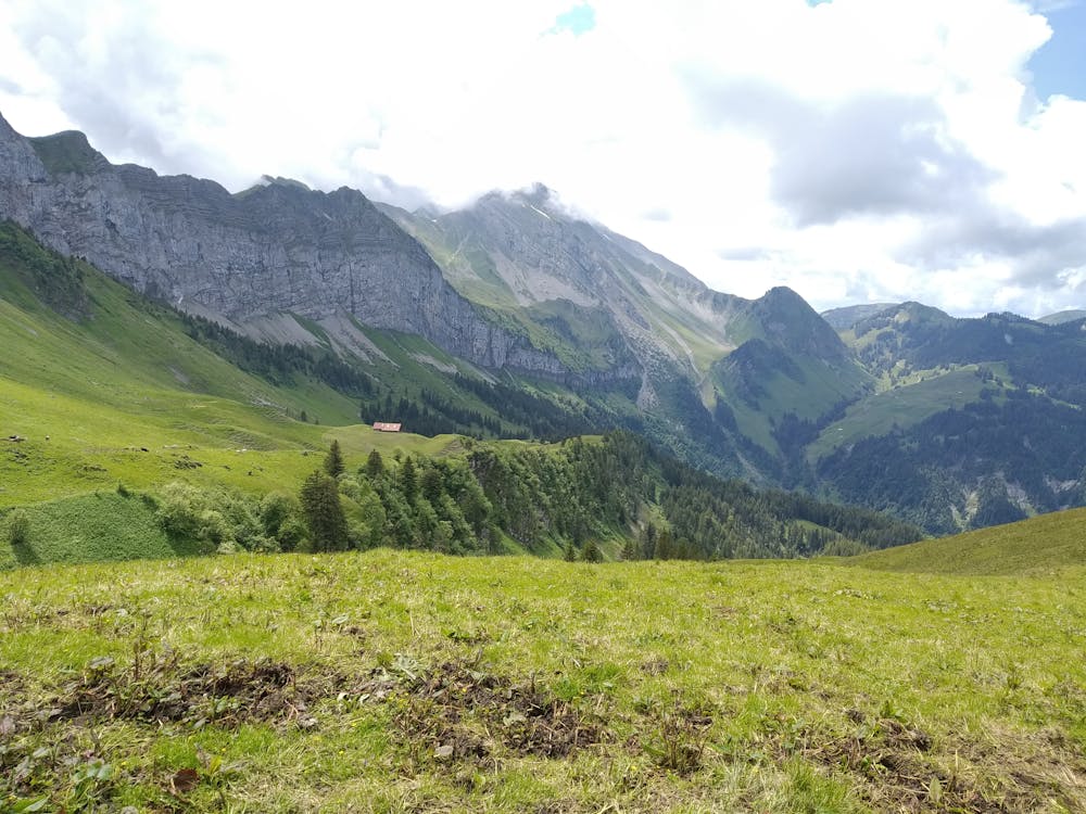
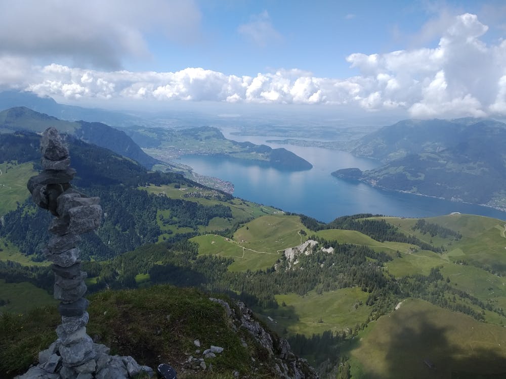
Features
- Alpine
- Wildlife
- Picturesque
- Summit Hike
- Wild flowers