7 routes
Go hiking in Nidwalden with curated guides of the best hikes across the region. With over 9 3D trail maps in FATMAP, you can easily discover and navigate the best trails in Nidwalden.
No matter what your next adventure has in store, you can find a guide on FATMAP to help you plan your next epic trip.
Get a top hiking trail recommendation in Nidwalden from one of our 4 guidebooks, or get inspired by the 9 local adventures uploaded by the FATMAP community. Start exploring now!
7 routes
Starting off as a tough climb up to a fantastic lookout point and ending with a gentle descent.
Difficult Hiking
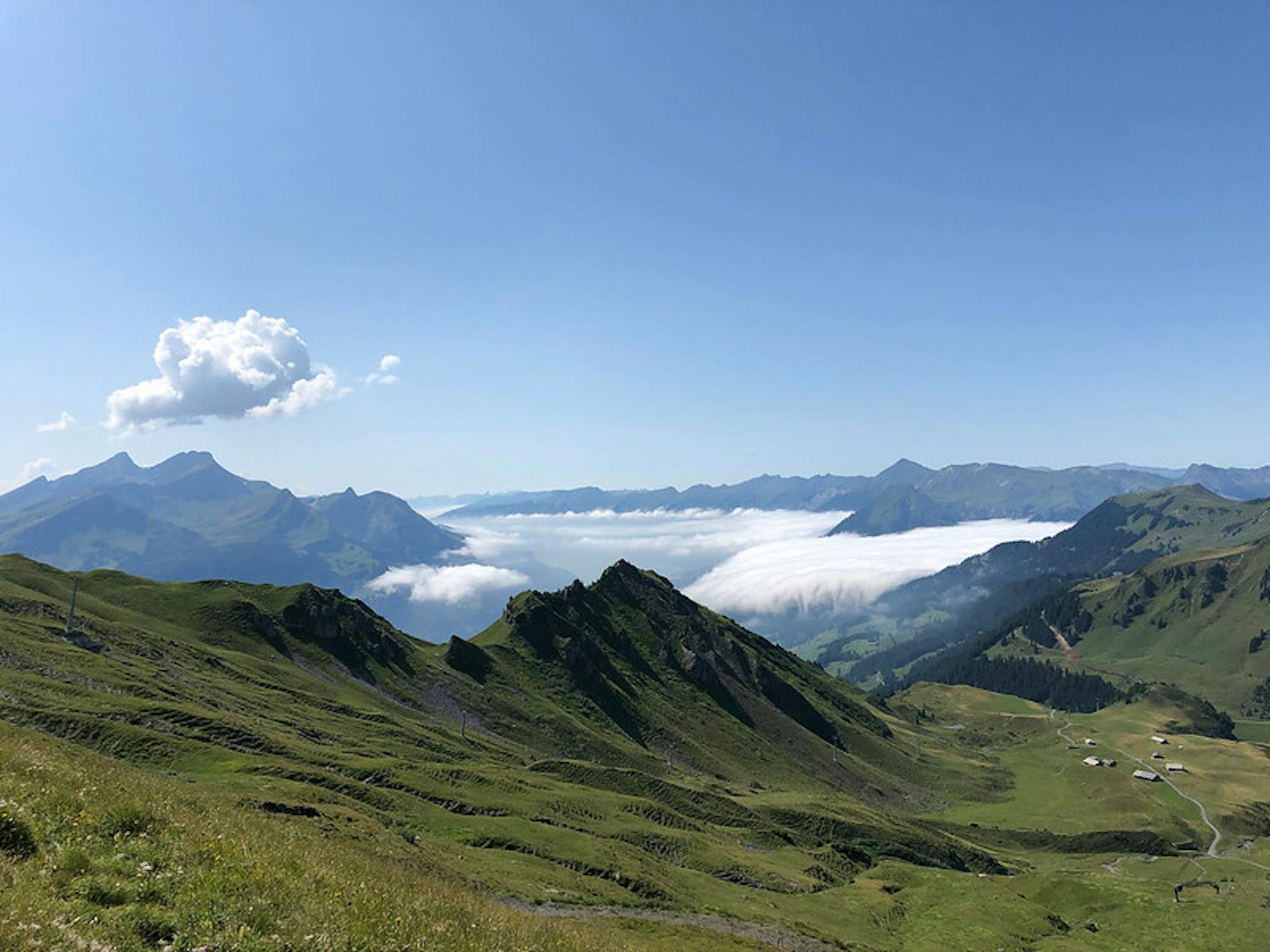
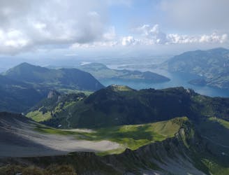
Forest walk, BBQs and amazing views of the lakes
Easy Hiking
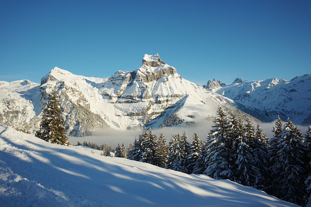
Round Tour with ridges and stunning views
Severe Hiking

15 routes · Hiking
3 routes · Hiking