9.7 km away
Via Alpina Green Route 3a: Sargans to Weisstannen
A 12.4km hike through a valley, meadows, woods and past a castle.
Moderate Hiking
- Distance
- 13 km
- Ascent
- 821 m
- Descent
- 305 m
An epic hike full of waterfalls, rolling green pastures, woodlands and steep climbs.
Also in Glarus, Switzerland
Hiking Moderate

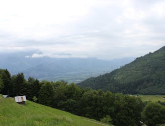
From Weisstannen, head along the trail into the valley, passing waterfalls and ravines before climbing up over boulders and beginning an ascent through a series of hairpin bends. Make sure to turn and look back occasionally at the fantastic views over the Seez Valley and Foobach ravine!
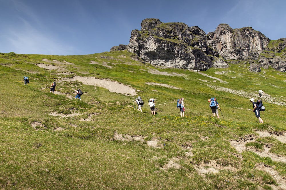
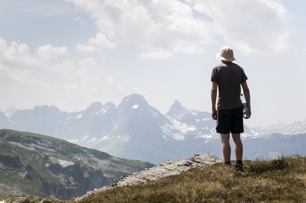
Follow the trail around to the right, passing a pile of fallen boulders, where it eventually becomes sturdier underfoot and leads you up to the Foo Alp. You will now enter a section of lovely rolling green pastures, which gently incline up to Foo pass, with the magnificent Glarner Alps visible on the horizon. The route will begin a very steep descent towards Elmer, before turning into a dirt road that leads you towards the valley through meadows, maple woods, past waterfalls and over a series of wooden bridges. As you reach Stäfellegg, the path begins to ascend to the Niderenalp cable car station, continuing to climb up to the day’s final destination: the quaint little village of Elm, formerly a hub for slate quarrying, and today a prime base for outdoors enthusiasts.
Sources http://www.via-alpina.org/en/page/246/the-green-trail https://www.summitpost.org/the-swiss-via-alpina/1010645 https://www.myswitzerland.com/en/destinations/elm/
Moderate
Hiking along trails with some uneven terrain and small hills. Small rocks and roots may be present.

Away from help but easily accessed.
9.7 km away
A 12.4km hike through a valley, meadows, woods and past a castle.
Moderate Hiking

15 routes · Hiking