Lugano to the Ceresio Peninsular Loop
A challenging ride with fabulous views of Lugano, Lake Lugano and the surrounding mountains.
Mountain Biking Severe
- Distance
- 26 km
- Ascent
- 917 m
- Descent
- 920 m
- Duration
- 2-3 hrs
- Low Point
- 274 m
- High Point
- 803 m
- Gradient
- 12˚
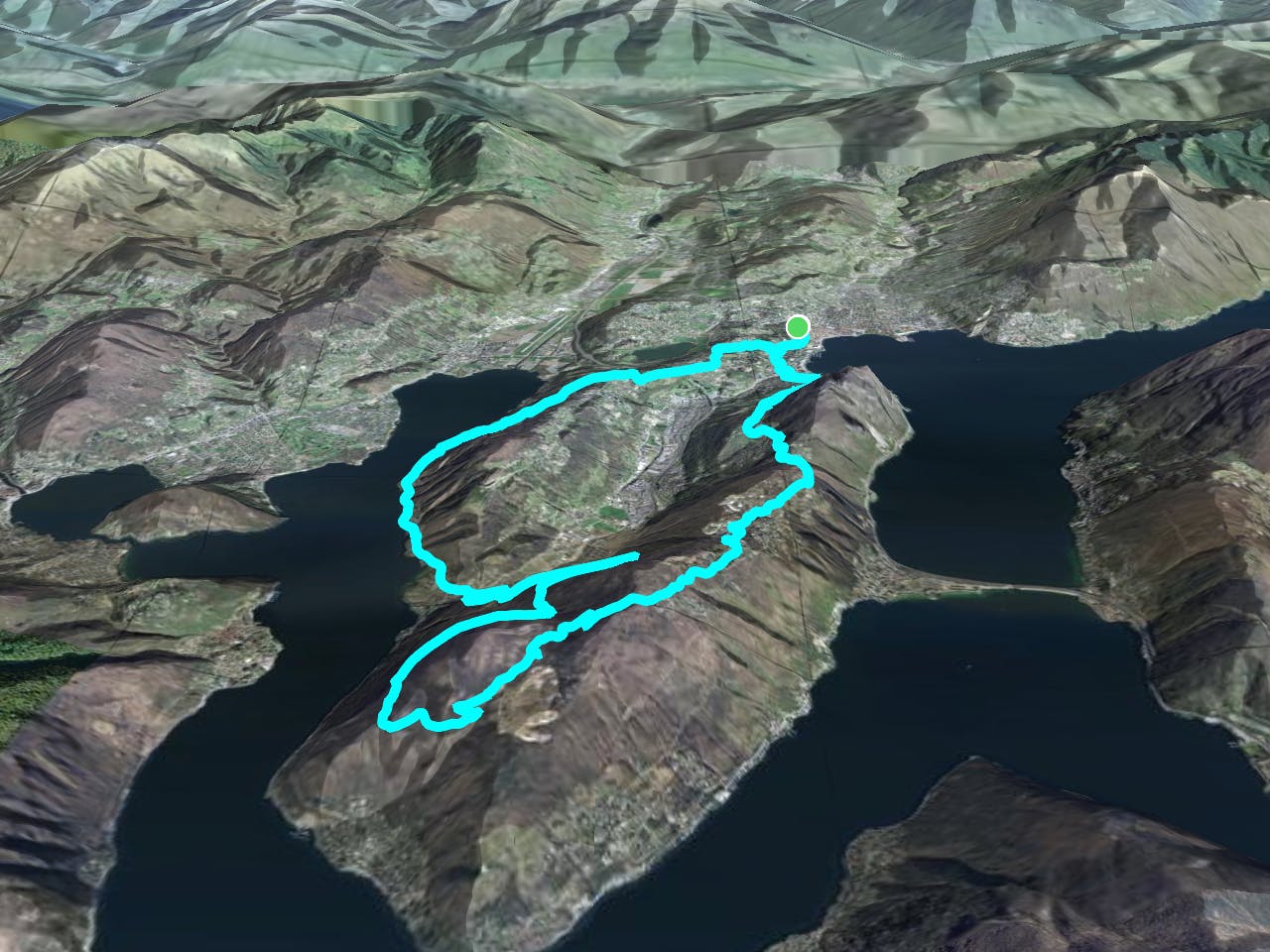
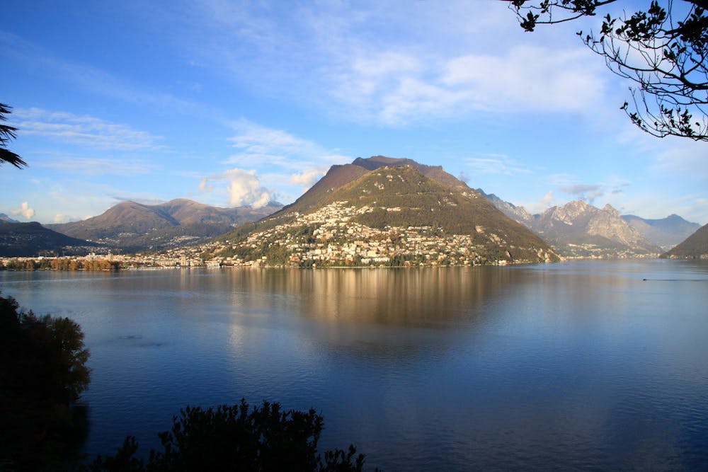
Beginning at the Lugano train station head out to the south-western promontory of Ceresio, a densely forested peninsula which is alive with hikers and mountain bikers throughout the summer months.
Description
The trail climbs steeply through the forest, switching between asphalt and narrow singletrack, occasionally jumping onto hiking paths too. There may be too much asphalt for some mountain biker’s liking, but this route still doesn’t fail to deliver knockout views and technical challenge, not to mention the well-positioned Alpe Vicania right at the top, a welcome stop before the epic descent back down to Lugano!
Difficulty
Severe
Widely variable, narrow trail tread with steeper grades and unavoidable obstacles of 15in/38cm tall or less. Obstacles may include unavoidable bridges 24in/61cm wide or less, large rocks, gravel, difficult root sections, and more. Ideal for advanced-level riders.
Low Exposure

The path is on completely flat land and potential injury is limited to falling over.
Remoteness
Close to help in case of emergency.
Best time to visit
Features
- Flow
- Technical
- Picturesque
- Singletrack
- In the forest
- Road sections