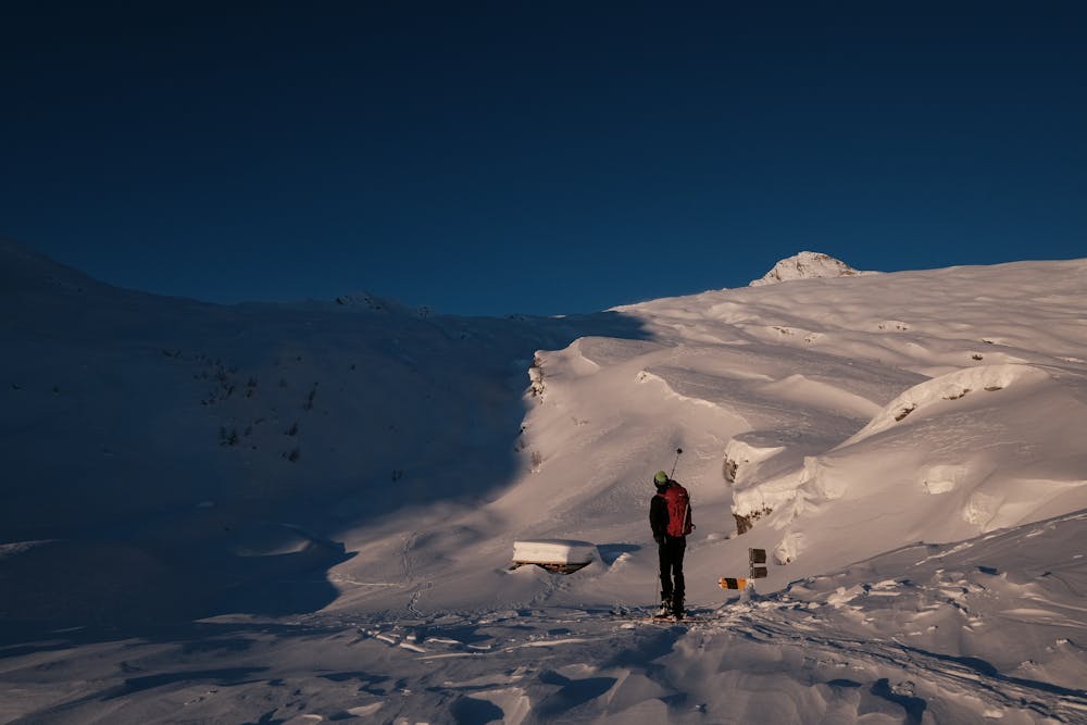
Poncione di Braga
Long adventure in a remote valley, towards the highest peak in the district
Ski Touring Moderate
- Distance
- 18 km
- Ascent
- 1.8 km
- Descent
- 1.8 km
- Duration
- 1 day +
- Low Point
- 1.2 km
- High Point
- 2.8 km
- Gradient
- 24˚

Very long trip, often divided into two parts thanks to the support of the refuge which is located on the track halfway. From this point on, wide slopes lead to the base of the North ridge, wide but still demanding and technical. From the top you can enjoy an unparalleled view of the highest peaks of the adjacent valleys.
Difficulty
Moderate
Slopes become slightly steeper at around 25-30 degrees.
Medium Exposure (E2)

As well as the slope itself, there are some obstacles (such as rock outcrops) which could aggravate injury.
Remoteness
Away from help but easily accessed.
Best time to visit
Features
- Face
- Alpine
- Ski Mountaineering
Equipment required
- Skins
- Ice axe
- Crampons