8.6 km away
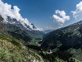
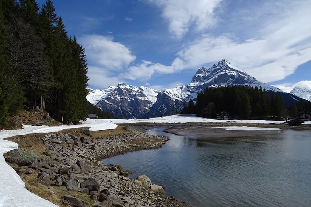
Via Alpina Green Route C5: Linthal to Urnerboden
A short burst of steepness followed by an easygoing, relatively flat trail.
Moderate Hiking
- Distance
- 15 km
- Ascent
- 996 m
- Descent
- 271 m
Featuring some of the best views on the whole Via Alpina Green Route.
Hiking Moderate
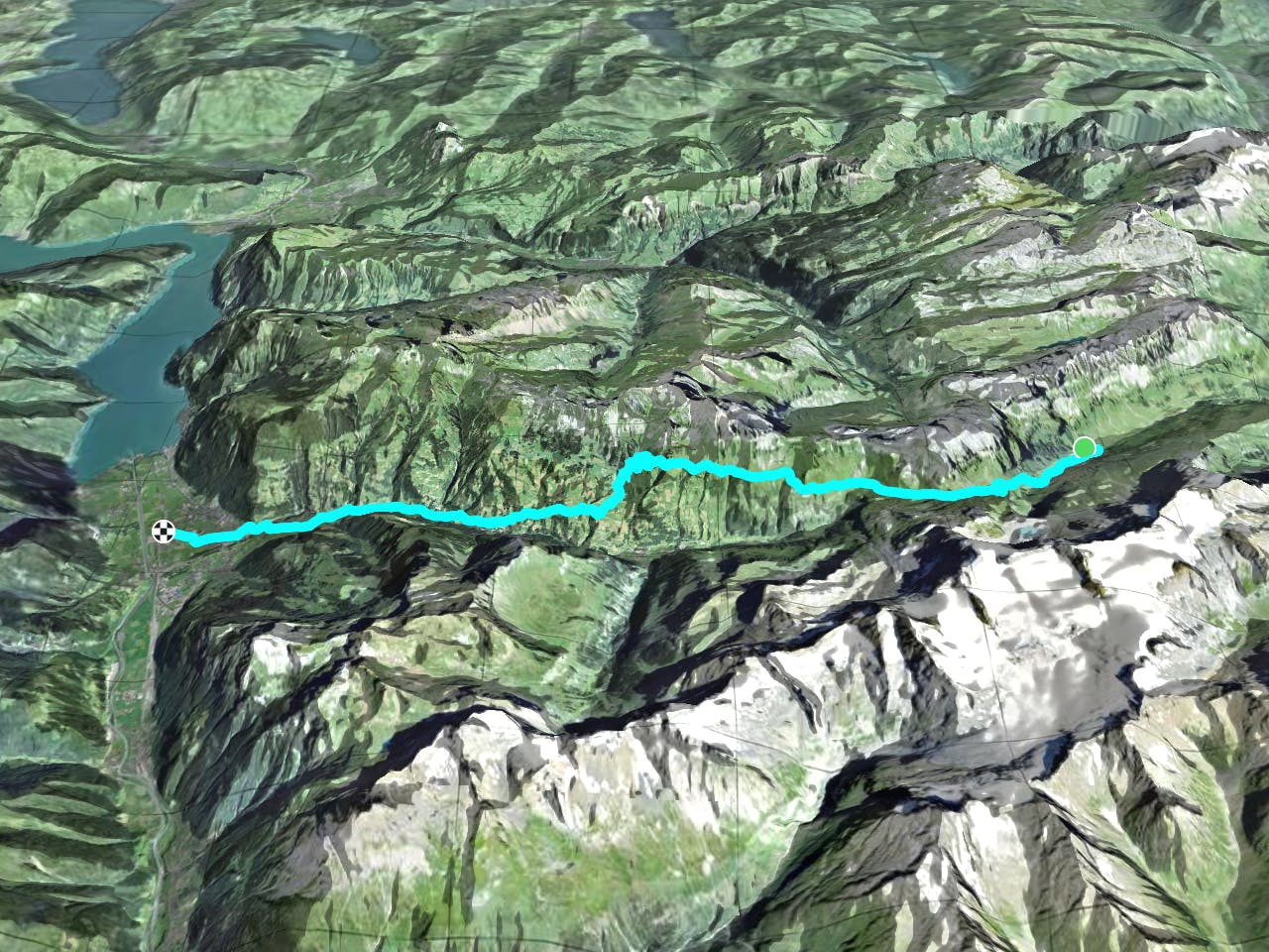
Beginning on a very busy road, but quickly getting more picturesque and remote, the route takes you on a mountain trail through alpine pastureland, peaking with fantastic views in all directions: see the Schächental and Brunnital valleys, the summits of the Clariden, Gross Windgällen, Hoch Fulen, Sittliser, and Spitzen. In the background stand the Spannörter, Titlis, Uri-Rotstock, Brisen massifs, and many others. To the right, the dolomite-like Schächtentaler Windgällen rock also towers! The trail then leads you down passed the pilgrimage chapel dating back to 1576, and then you should join onto the Klaus Pass road, which takes you passed the small hamlets of Trudelingen and Sigmanig, over the Schächen river to Bürgeln and on to Altdorf. Sources http://www.via-alpina.org/en/stage/112 https://www.erlebnisregion-mythen.ch/de/erlebnisse/sommer/weg-der-schweiz/
Moderate
Hiking along trails with some uneven terrain and small hills. Small rocks and roots may be present.

The trail contains some obstacles such as outcroppings and rock which could cause injury.
Away from help but easily accessed.
8.6 km away
A short burst of steepness followed by an easygoing, relatively flat trail.
Moderate Hiking

15 routes · Hiking