8.6 km away
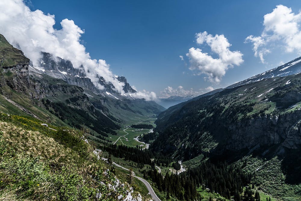
Via Alpina Green Route C6: Urnerboden to Altdorf
Featuring some of the best views on the whole Via Alpina Green Route.
Moderate Hiking
- Distance
- 28 km
- Ascent
- 865 m
- Descent
- 1.8 km
A short burst of steepness followed by an easygoing, relatively flat trail.
Also in Uri, Switzerland
Hiking Moderate

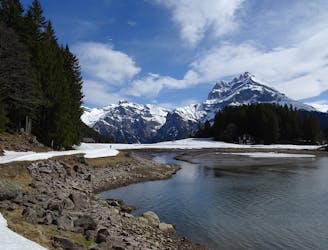
Follow the railway tracks out of Linthal, through a woodland, passed Trassee Lake along the Braunwald railway until you come to Niederschlacht. Continue along the alpine trail westward to the Unter Stafel pastureland. Eventually, you will cross over the Brummbachbrücke bridge, and on the other side, follow the trail to Felssporn, from where you will be met by a fantastic lookout point over Linthal. The alpine trail then climbs through a woodland, over a ledge up to the Ober Friteren pastureland. Follow the Flätschbach stream all the way to Urnerboden village, enjoying views of the Clariden, Gemsfairenstock, and Chamerstock peaks along the way.
Moderate
Hiking along trails with some uneven terrain and small hills. Small rocks and roots may be present.

Away from help but easily accessed.
8.6 km away
Featuring some of the best views on the whole Via Alpina Green Route.
Moderate Hiking

15 routes · Hiking