3 routes
Explore Glarus with curated guides of the best routes. With over 7 3D trail maps in FATMAP, you can easily discover and navigate the best trails in Glarus.
No matter what your next adventure has in store, you can find a guide on FATMAP to help you plan your next epic trip.
Get a top trail recommendation in Glarus from one of our 1 guidebooks, or get inspired by the 7 local adventures uploaded by the FATMAP community. Start exploring now!
3 routes
A short burst of steepness followed by an easygoing, relatively flat trail.
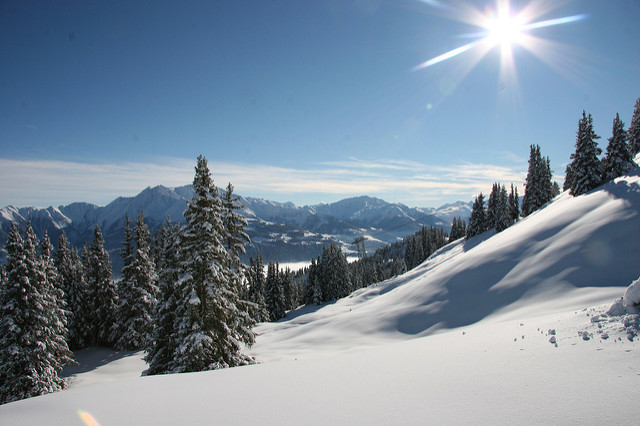
Moderate Hiking
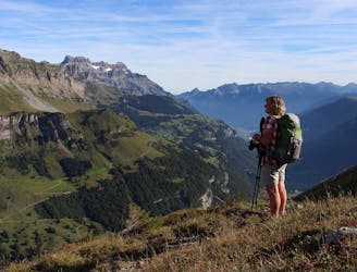
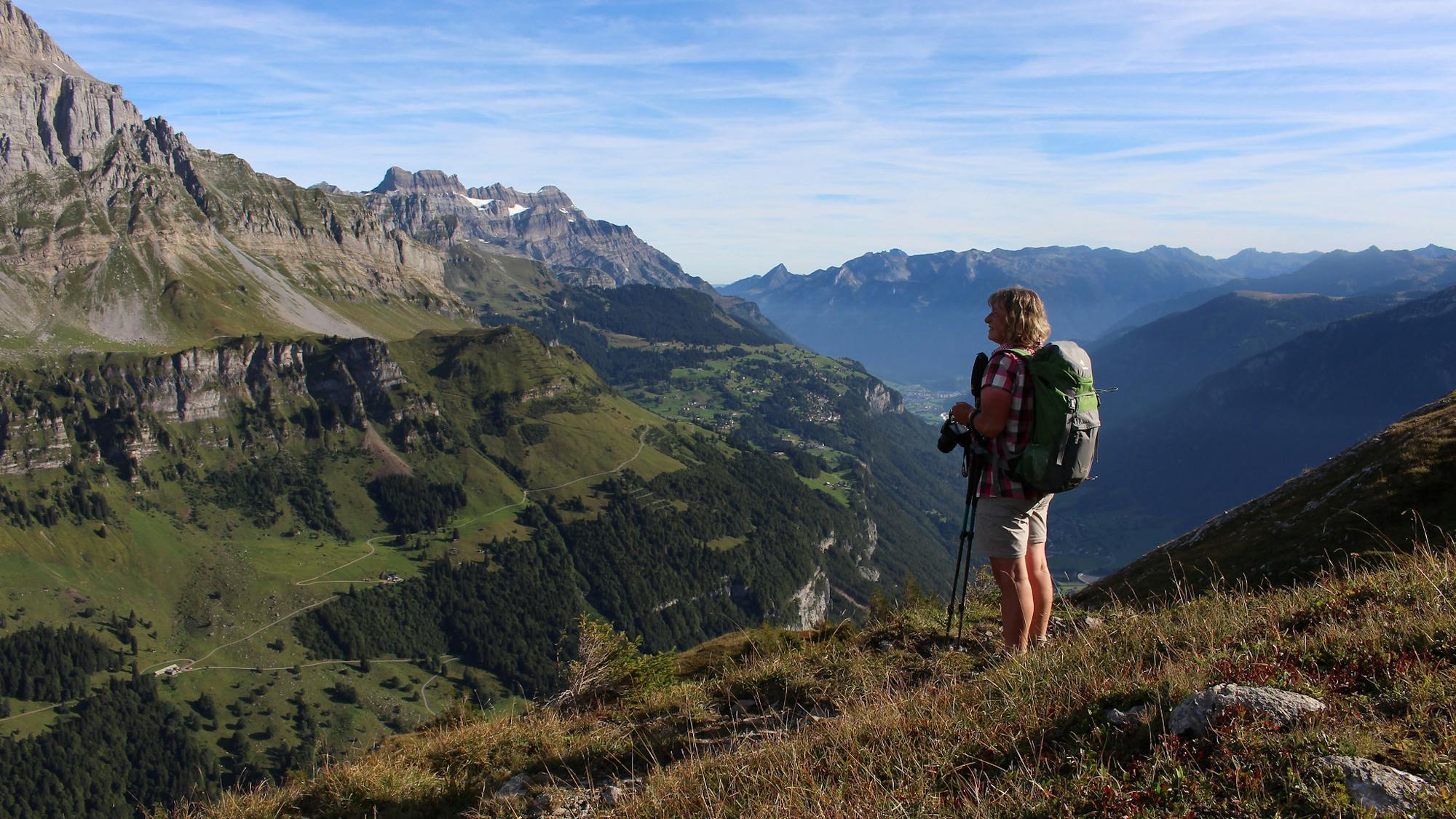
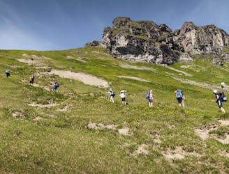
A 22km hiking challenge with steep ascents and technically tricky descents through beautiful alpine landscapes.
Difficult Hiking
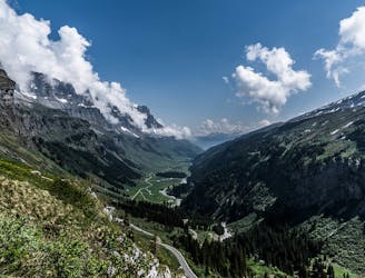
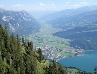
An epic hike full of waterfalls, rolling green pastures, woodlands and steep climbs.
Moderate Hiking

Nice flow from top to bottom in easy terrain
Easy Freeride Skiing

Crossing Pizol on this remote adventure connecting Weisstannen (SG) and Elm (SG)
Severe Trail Running
A difficult and exposed trailrun following the Churfirsten with spectacular views on Walensee
Severe Trail Running

Trail Running Switzerland East to West
Difficult Trail Running

15 routes · Hiking