5.7 km away
Hollandia Hut to Blatten
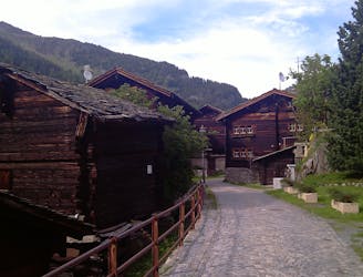
A long descent out of the high mountains and back into the lush valleys.
Easy Alpine Climbing
- Distance
- 14 km
- Ascent
- 106 m
- Descent
- 1.8 km
A big day out from a low hut to high summit with magnificent views
Alpine Climbing Difficult

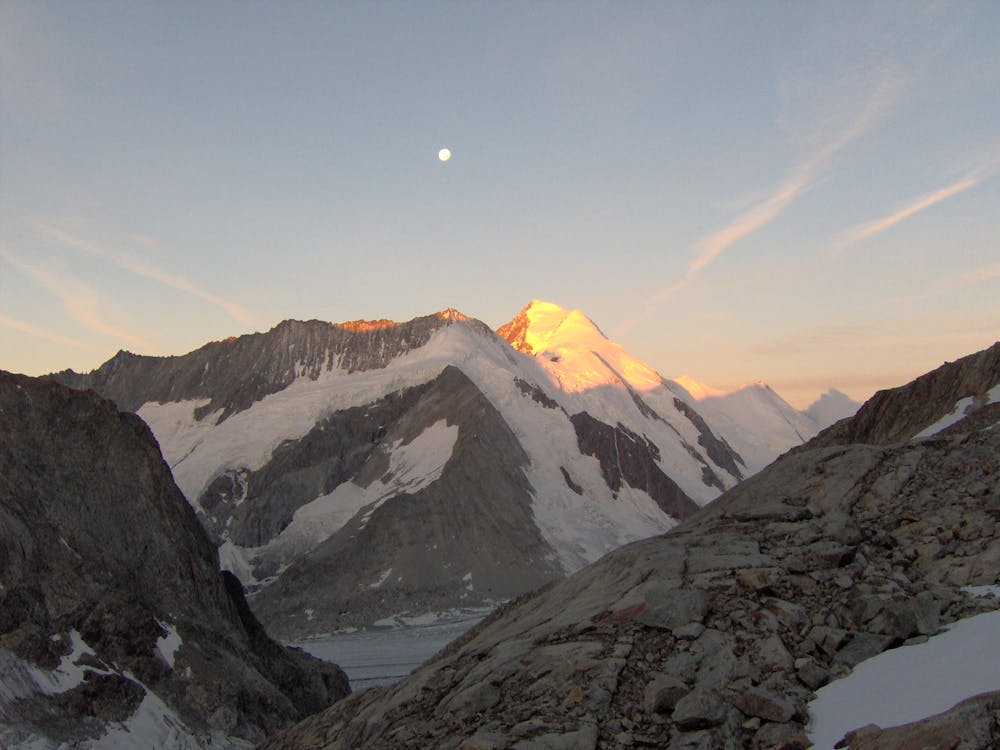
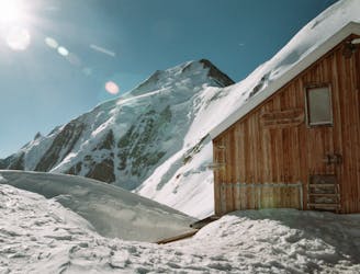
The Aletschhorn is a very remote mountain and requires 2 days of considerable effort - as a minimum - to climb it. It can be climbed both in spring using skis for the approach or in summer on foot. The latter is more challenging, particularly in descent and many will choose to spend a second night at the hut. The alternative commonly taken route to climb the mountain used to be the SE Flank and NE Ridge, from the Mittelaletsch Bivouac Hut, which sadly is not there any more, after an avalanche destroyed the hut in Feb 2019. Many people do the SW Ridge as an out and back trip, allowing you to leave odd things in the hut, if you decide to have a second night there. The route is marked as if you are doing this. Very fit parties may decide to traverse the peak, descending past the old destroyed bivi hut. Alternatively you can avoid the climb up to the hut you have come from, and descend all the way to the valley.
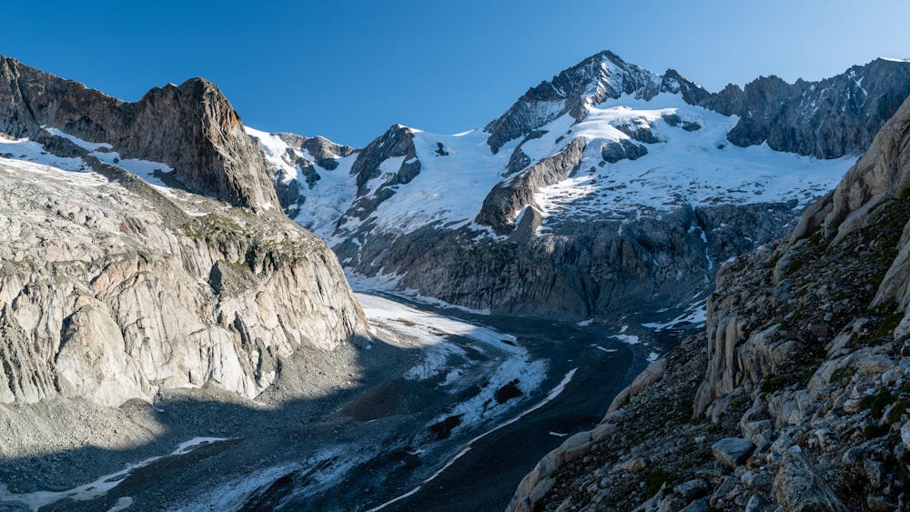
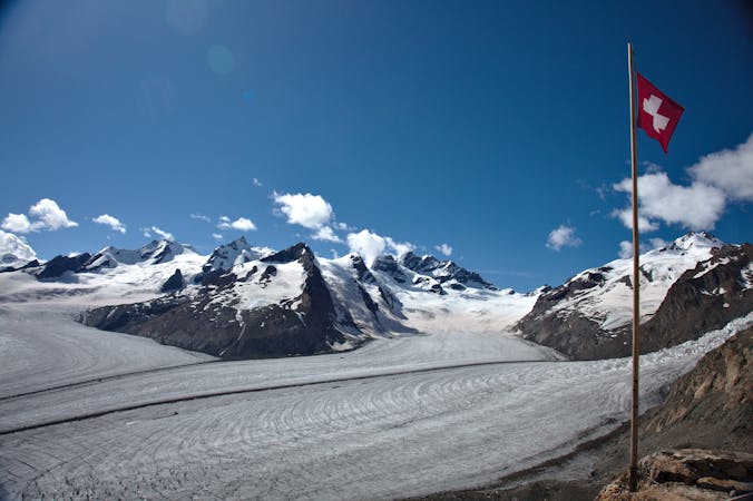
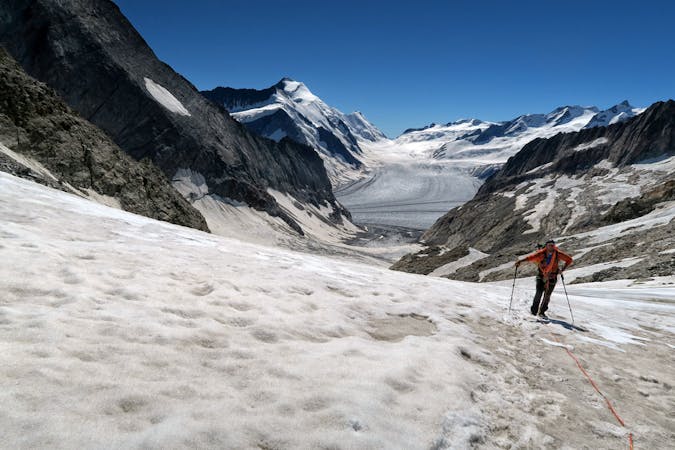
Descend from the hut, following the track with metal cables as a handrail, down to the rubbly glacier then follow it gently uphill. Early in the season it is possible to take the winter line, which is more glacial based, up past pt 2915m, under the Vord Geisshorn, then up the glacial tongue under pt 3699m. Later in the season this will be too crevassed and it is better to continue up the main glacier a little further, leaving the glacier around 2630m, near an obvious torrent.
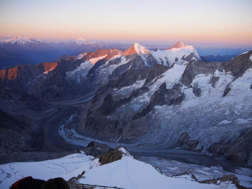
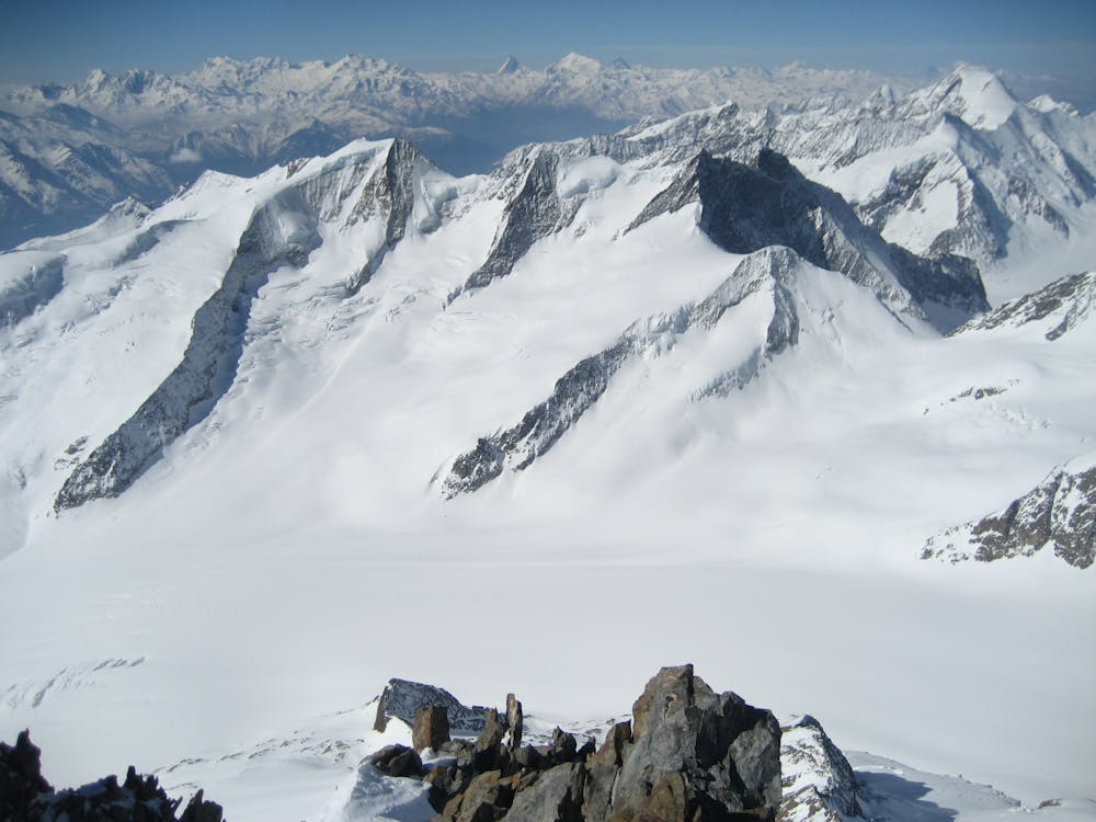
Follow the cairned path up slabby ground, and onto the ridge above, which you follow all the way to pt 3394m. Take to the glacier above then join the main SW ridge above to the R of the toe of the ridge, and above its base. Follow the mixed scrambl-y ridge above. There is a section of easier angled snow, followed by a steeper rocky section, from about 3900m, protected by iron stakes. The view from the summit cross is particularly special, and for this reason, plus the aesthetics and isolation of the peak, it is a cherished summit.
Difficult
The beginning of truly technical terrain which might involve pitched climbing on rock and/or ice, exposed terrain and complex route finding in ascent and descent. Equivalent to AD, AD+

Much of the route is difficult to protect and a fall could be disastrous at certain points.

In the high mountains or remote conditions, all individuals must be completely autonomous in every situation.
5.7 km away
A long descent out of the high mountains and back into the lush valleys.
Easy Alpine Climbing
5.7 km away
A popular peak which offers staggering views and a satisfying summit.
Moderate Alpine Climbing
4 routes · Alpine Climbing
10 routes · Alpine Climbing · Hiking