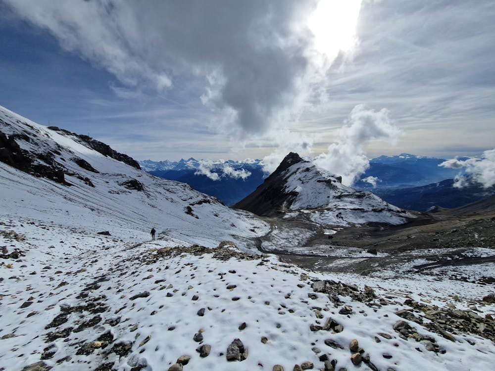
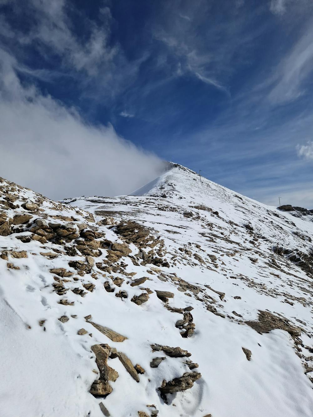
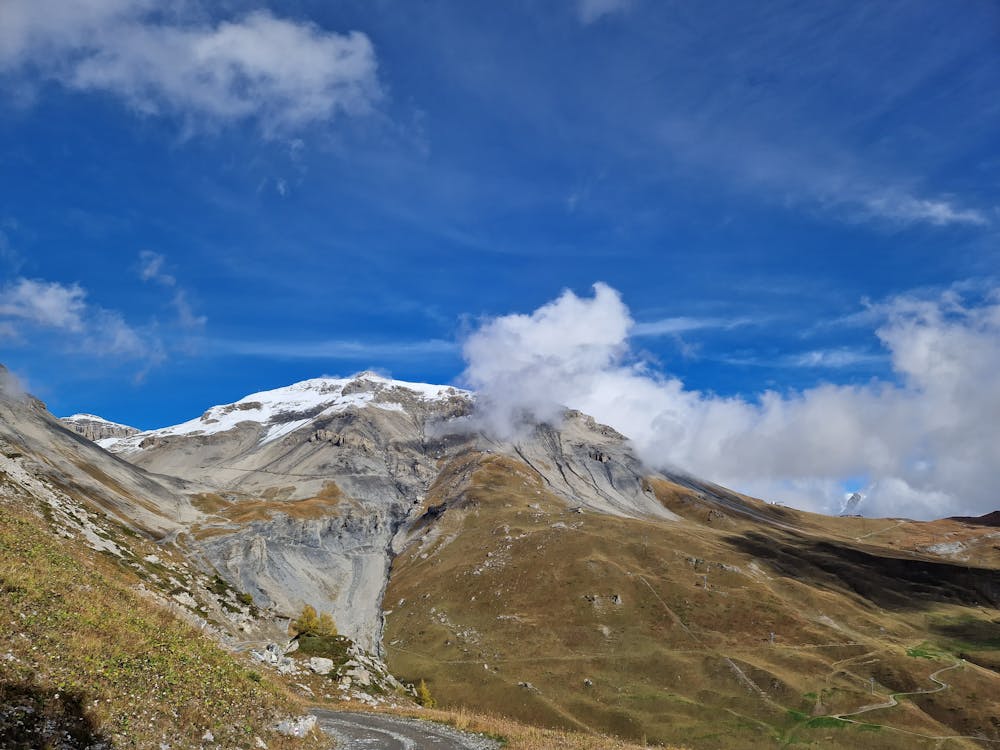
Mont Bonvin
Crans-Montana
Hike to the summit of Mont Bonvin (2995 m.s.m) from Cry d'Er and descent to Crans.
Hiking Difficult
- Distance
- 17 km
- Ascent
- 926 m
- Descent
- 1.7 km
- Duration
- 4-5 hrs
- Low Point
- 1.5 km
- High Point
- 3 km
- Gradient
- 15˚

This is a popular hiking route which is generally considered to be difficult. It's not remote, it features medium exposure and is typically done between June and October. From a low point of 1.5 km to the maximum altitude of 3 km, the route covers 17 km, 926 vertical metres of ascent and 1713 vertical metres of descent.
- •
- •
- •
Description
Hike to the summit of Mont Bonvin (2995 m.s.m) from the Crans-Montana-Aminona ski resort.
Difficulty
Difficult
Hiking trails where obstacles such as rocks or roots are prevalent. Some obstacles can require care to step over or around. At times, the trail can be worn and eroded. The grade of the trail is generally quite steep, and can often lead to strenuous hiking.
Medium Exposure

The trail contains some obstacles such as outcroppings and rock which could cause injury.
Remoteness

Close to help in case of emergency.
Best time to visit
Features
- Summit Hike