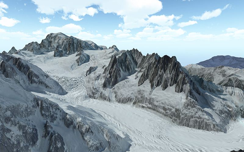
445 routes · Freeride Skiing · Hiking · Ski Touring · Trail Running · Alpine Climbing · Mountain Biking
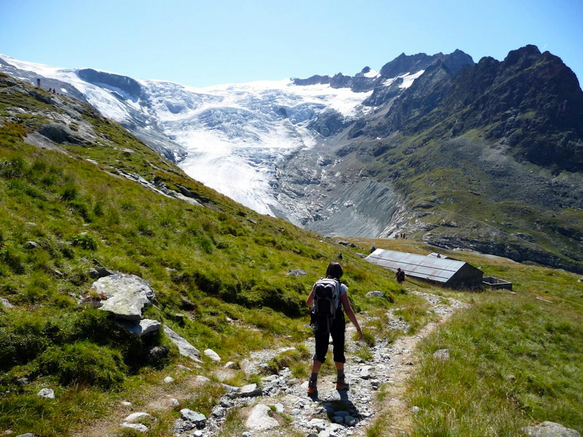
Go hiking in Valais with curated guides of the best hikes across the region. With over 727 3D trail maps in FATMAP, you can easily discover and navigate the best trails in Valais.
No matter what your next adventure has in store, you can find a guide on FATMAP to help you plan your next epic trip.
Get a top hiking trail recommendation in Valais from one of our 73 guidebooks, or get inspired by the 727 local adventures uploaded by the FATMAP community. Start exploring now!


445 routes · Freeride Skiing · Hiking · Ski Touring · Trail Running · Alpine Climbing · Mountain Biking
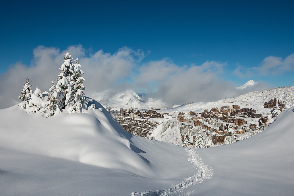
211 routes · Freeride Skiing · Ski Touring · Hiking
163 routes · Ski Touring · Freeride Skiing · Hiking · Alpine Climbing
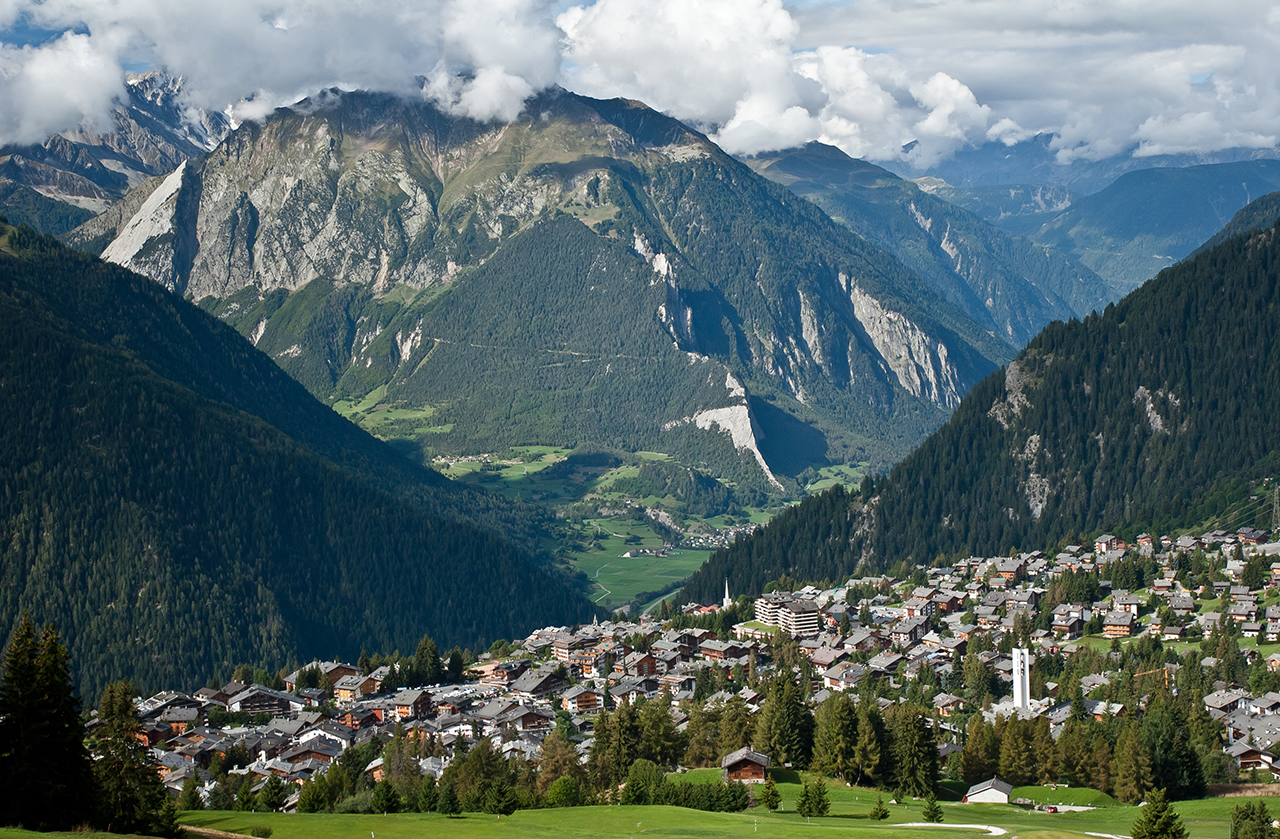
143 routes · Freeride Skiing · Mountain Biking · Hiking · Ski Touring · Trail Running

113 routes · Ski Touring · Hiking · Alpine Climbing · Trail Running · Mountain Biking

108 routes · Ski Touring · Freeride Skiing · Alpine Climbing
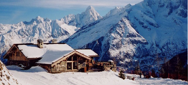
103 routes · Freeride Skiing · Ski Touring · Hiking · Alpine Climbing · Trail Running
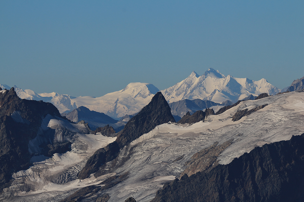
85 routes · Freeride Skiing · Ski Touring · Alpine Climbing · Hiking · Trail Running
A steep and exposed hike. Beatifull panaromas
Severe Hiking
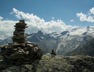
A very steep walk, luckily made shorter by the lift from Saas Fee
Extreme Hiking
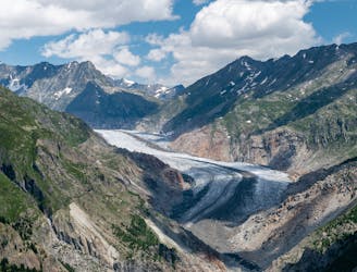
A lift-assisted walk, finishing up a balcony path high above the Oberaletsch glacier
Difficult Hiking
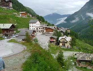
A lovely walk up a well marked trail, strenuous in its first half
Difficult Hiking
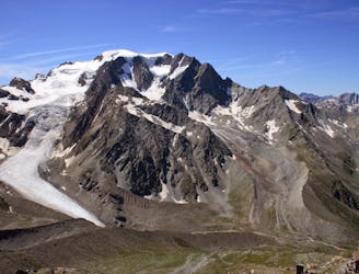
A long but beautiful hut approach up a wild valley
Severe Hiking
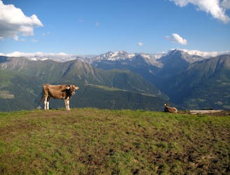
A gentle hike in the Fiesch Valley with views of the nearby Eggishorn and Strahlhorn mountains.
Easy Hiking
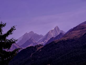
A relatively short approach if you opt for the taxi, or a long cheap one
Moderate Hiking
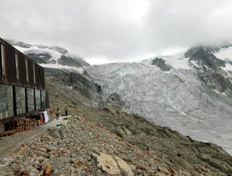
A short and scenic trip up to a beautiful and unique mountain hut.
Moderate Hiking
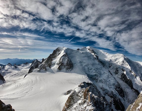
14 routes · Hiking
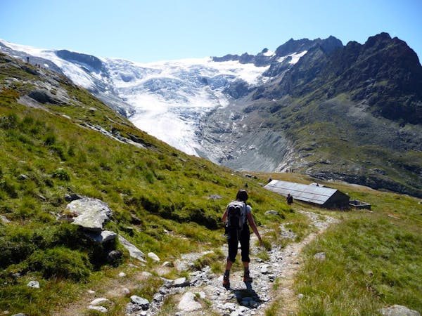
1 routes · Hiking
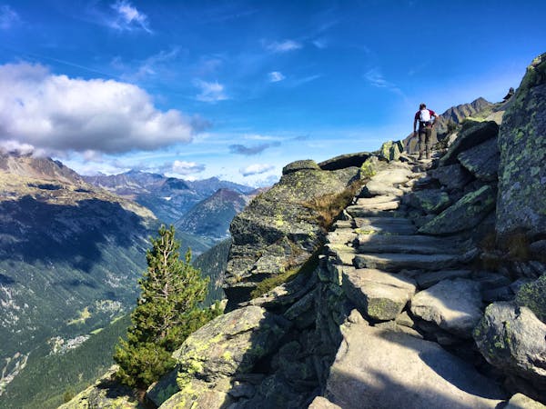
12 routes · Hiking
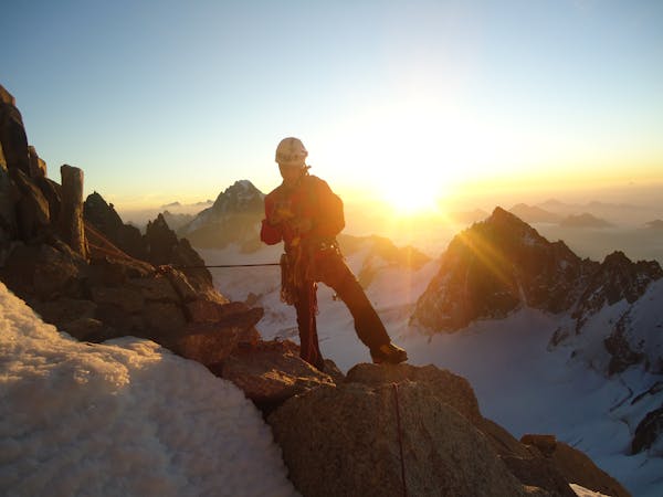
12 routes · Alpine Climbing · Hiking
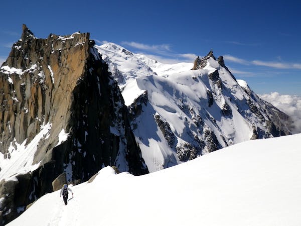
15 routes · Alpine Climbing · Hiking
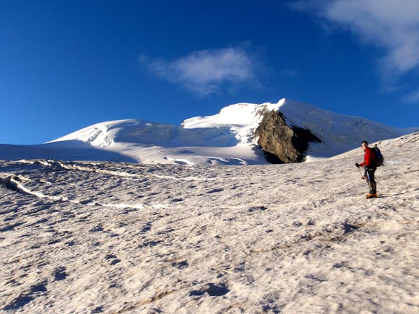
9 routes · Alpine Climbing · Hiking
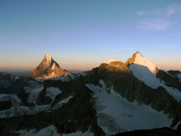
6 routes · Alpine Climbing · Hiking
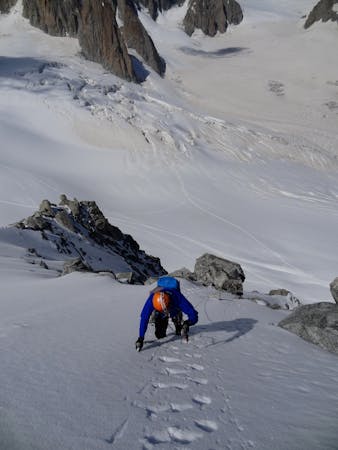
6 routes · Alpine Climbing · Hiking