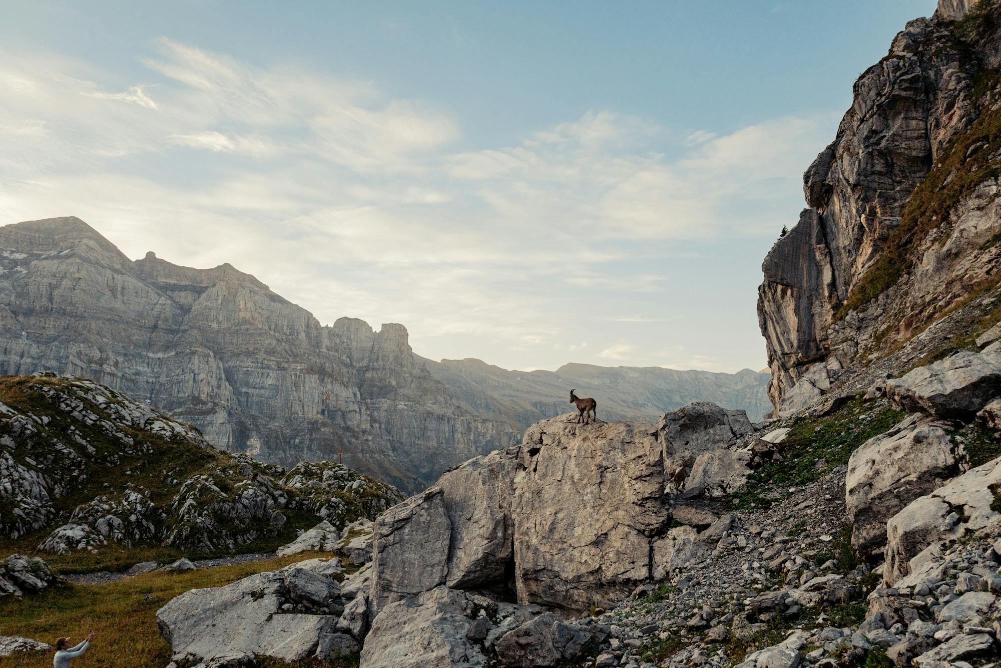
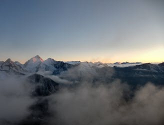
Tour around Les Dents Blanches (Pas d'Encel - Col des Ottans - Pas au taureau - Pas de la Bide)
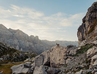
A steep and exposed hike. Beatifull panaromas
Severe Hiking
- Distance
- 26 km
- Ascent
- 2.3 km
- Descent
- 2.3 km
Go hiking in Valais with curated guides of the best hikes across the region. With over 726 3D trail maps in FATMAP, you can easily discover and navigate the best trails in Valais.
No matter what your next adventure has in store, you can find a guide on FATMAP to help you plan your next epic trip.
Get a top hiking trail recommendation in Valais from one of our 73 guidebooks, or get inspired by the 726 local adventures uploaded by the FATMAP community. Start exploring now!
A steep and exposed hike. Beatifull panaromas
Severe Hiking
A very steep walk, luckily made shorter by the lift from Saas Fee
Extreme Hiking
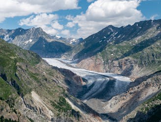
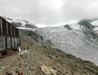
A lift-assisted walk, finishing up a balcony path high above the Oberaletsch glacier
Difficult Hiking
A lovely walk up a well marked trail, strenuous in its first half
Difficult Hiking
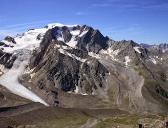
A long but beautiful hut approach up a wild valley
Severe Hiking
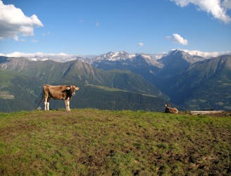
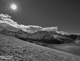
A gentle hike in the Fiesch Valley with views of the nearby Eggishorn and Strahlhorn mountains.
Easy Hiking
A relatively short approach if you opt for the taxi, or a long cheap one
Moderate Hiking
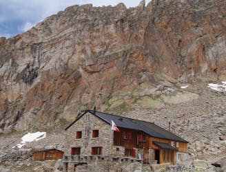
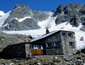
A short and scenic trip up to a beautiful and unique mountain hut.
Moderate Hiking
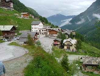
A tough climb from a classic alpine village to a classic alpine hut.
Difficult Hiking
A scenic hike which puts you in position for further adventures.
Difficult Hiking
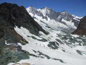
A short trip to a well positioned hut.
Moderate Hiking
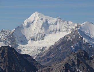
A long, tough and incredibly scenic hike which is popular as a day tour, not just as an approach.
Difficult Hiking
The second part of a wonderful traverse through the Western Bernese Alps.
Difficult Hiking
A bruiser of a hut approach, but in a beautiful environment.
Severe Hiking
A lovely but long walk through the forest with panoramic views of the 4000m giants
Difficult Hiking
A downhill stroll into Zermatt past some epic scenery.
Moderate Hiking