11 m away
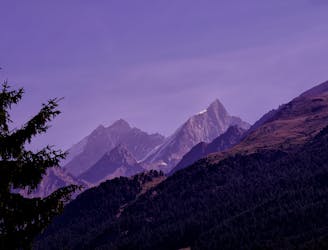
Approach to Weisshorn Hut
A lovely but long walk through the forest with panoramic views of the 4000m giants
Difficult Hiking
- Distance
- 6.7 km
- Ascent
- 1.6 km
- Descent
- 35 m
A bruiser of a hut approach, but in a beautiful environment.
Hiking Severe

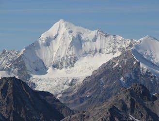
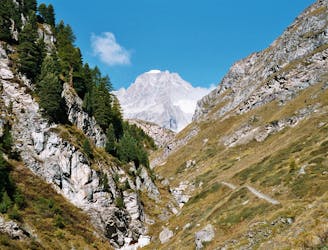
The Dom is the peak with the greatest vertical interval from valley floor to summit of any of the standard routes on a 4000m peak in the Alps. It isn’t just the summit day that is big- this hut approach is not for the faint hearted, with over 1500m of ascent. Although it is the 3rd highest independent 4000m peak in the Alps it sees a fraction of the ascents of the higher ones, due to the total lack of lift access to assist you in your journey. The hut approach in itself gives stunning views of the beautiful white giant on the opposite side of the valley- the Weisshorn.
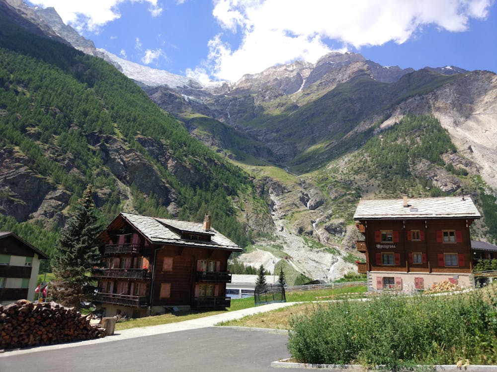
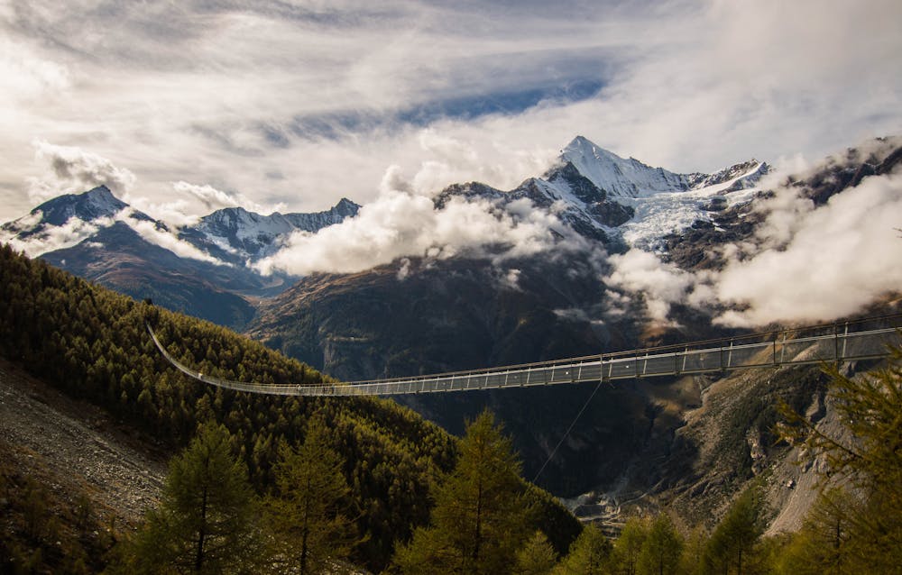
From Randa leave the village, crossing the river and following the path through the forest until the trees thin out at about 2100m. Here on your R is the very impressive Charles Kuonen Suspension Bridge. This is the longest passenger suspension footbridge in the world, and was built in 2017. If you have the desire to cross it you can take an alternative route from Randa, but this adds a small amount of time to the journey. It is "exciting" to cross in windy weather!
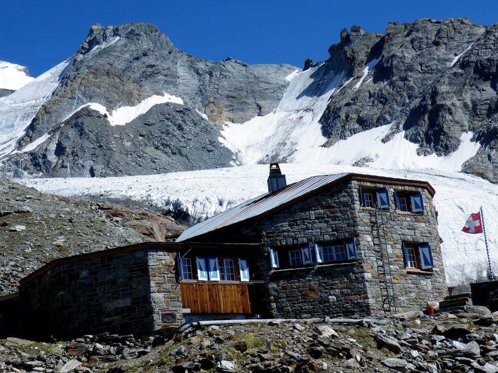
You are still not halfway at this point and the path carries on relentlessly up the open hillside, with the stunning views being your only consolation. A via ferrata section breaks up the climb, gloves being useful to save your hands, then a final hundred metres or so to the hut, with its interesting architecture. Allow yourself plenty of time to chill out in the afternoon before an early meal and a very early start for your climb tomorrow.
Severe
Hiking challenging trails where simple scrambling, with the occasional use of the hands, is a distinct possibility. The trails are often filled with all manner of obstacles both small and large, and the hills are very steep. Obstacles and challenges are often unexpected and can be unpredictable.

Some trail sections have exposed ledges or steep ascents/descents where falling could cause serious injury.

Away from help but easily accessed.
11 m away
A lovely but long walk through the forest with panoramic views of the 4000m giants
Difficult Hiking
5.2 km away
A relatively short approach if you opt for the taxi, or a long cheap one
Moderate Hiking
9.2 km away
A tough climb from a classic alpine village to a classic alpine hut.
Difficult Hiking

10 routes · Alpine Climbing · Hiking

10 routes · Alpine Climbing · Hiking

9 routes · Alpine Climbing · Hiking

20 routes · Alpine Climbing · Hiking