4.6 km away
Approach to the Almageller Hut
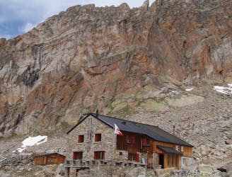
A scenic hike which puts you in position for further adventures.
Difficult Hiking
- Distance
- 6 km
- Ascent
- 1.2 km
- Descent
- 0 m
A short trip to a well positioned hut.
Hiking Moderate

This is a very short hut approach and can easily be done by taking the final lift of the day up to the Felskinn station from Saas Fee. Even if you only leave Felskinn at 4pm, you'll have plenty of time to make it to the hut, check in and be ready for dinner. As such, it's perfectly possible to combine this walk with a day of climbing elsewhere in the Saas valley, or with your journey to Saas Fee from elsewhere in Switzerland. However, if you do miss the last lift up, it's a long, long slog up to the hut, so don't push it too close with your timings!
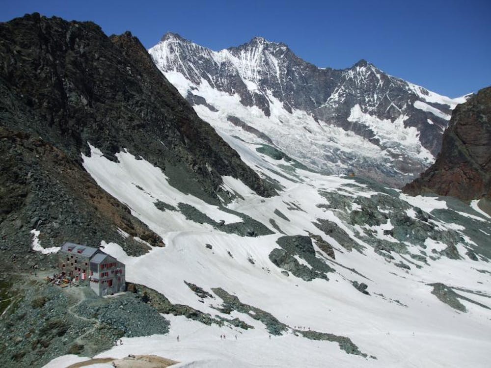
The distant scenery when you're doing this hike is fabulous, but sadly the same cannot be said of the immediate surroundings, which consist primarily of ski resort detritus and the debris from retreating glaciers. Try to focus on the peaks in the distance more than the mess around your feet!
From the Felskinn station, head east on a ploughed track to the Egginerjoch, at the top of a ski draglift of the same name. From here it's a 1 kilometre, gently uphill hike to the hut. The path you follow passes some blue glacial lakes and then crosses some scree briefly and finally goes up the remnants of a small glacier to reach the hut.
The hut sits at just over 3000 metres and is the starting point for a series of classic alpine climbs on 4000 metre peaks, including the Strahlhorn, Allalinhorn and Rimpfischorn. Get an early night and tackle one of them tomorrow!
Moderate
Hiking along trails with some uneven terrain and small hills. Small rocks and roots may be present.

The trail contains some obstacles such as outcroppings and rock which could cause injury.
Away from help but easily accessed.
4.6 km away
A scenic hike which puts you in position for further adventures.
Difficult Hiking
5.2 km away
A very steep walk, luckily made shorter by the lift from Saas Fee
Extreme Hiking
8.2 km away
A relatively short approach if you opt for the taxi, or a long cheap one
Moderate Hiking

9 routes · Alpine Climbing · Hiking

10 routes · Alpine Climbing · Hiking

6 routes · Alpine Climbing · Hiking