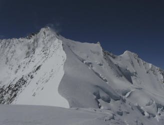
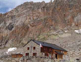
Saas Almagell to Simplon Hospice
A couple of cols and N facing descents
Difficult Ski Touring
- Distance
- 25 km
- Ascent
- 2.1 km
- Descent
- 1.7 km
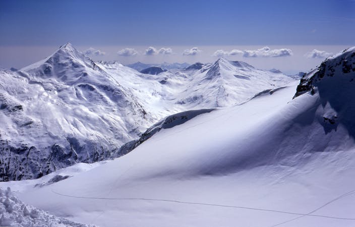
With pistes ranging up to 3,600m you can be sure of snow. Lower slopes are covered in snow right up until the end of the season. There is great off piste opportunities here in the Saas Valley, with high altitude glacial routes to lower tree runs with some great powder.
Explore Saas Fee with curated guides of the best hiking trails, ski routes, and more. With over 50 3D trail maps in FATMAP, you can easily discover and navigate the best trails in Saas Fee.
No matter what your next adventure has in store, you can find a guide on FATMAP to help you plan your next epic trip.
Get a top trail recommendation in Saas Fee from one of our 9 guidebooks, or get inspired by the 50 local adventures uploaded by the FATMAP community. Start exploring now!

A couple of cols and N facing descents
Difficult Ski Touring
A huge climb to a 4000m peak then a 2500m descent!
Difficult Ski Touring
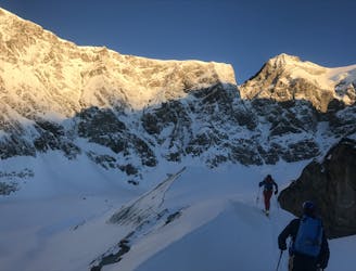
A very big day from Täschalp which can be split with a night in the Täsch Hut
Moderate Alpine Climbing
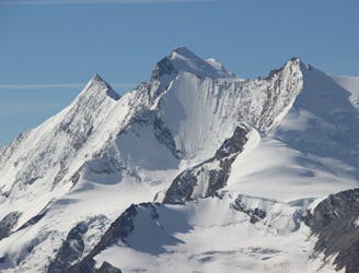
A classic 4000m voyage ticking off 4 summits in day, each one higher than the previous
Difficult Alpine Climbing
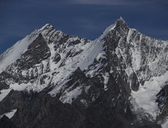
A great route traversing two 4000m peaks, with excellent rock towards the summit of the Nadelhorn
Difficult Alpine Climbing
A very steep walk, luckily made shorter by the lift from Saas Fee
Extreme Hiking
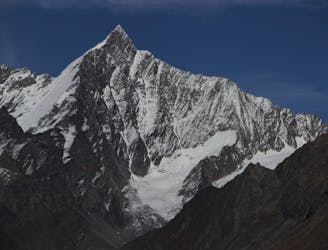
A famous and committing high altitude traverse between two mighty peaks
Severe Alpine Climbing
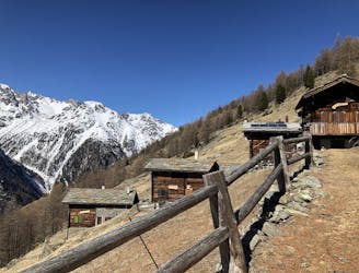
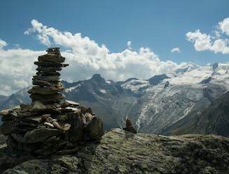
A scenic hike which puts you in position for further adventures.
Difficult Hiking

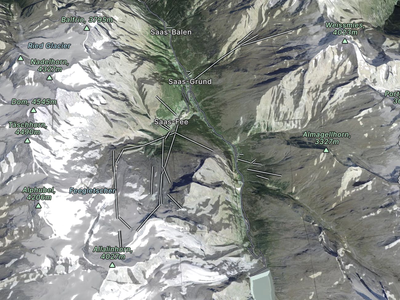
9 routes · Alpine Climbing · Hiking

50 routes · Freeride Skiing · Ski Touring

6 routes · Ski Touring
6 routes · Freeride Skiing
16 routes · Ski Touring

11 routes · Alpine Climbing · Hiking

6 routes · Alpine Climbing · Hiking

10 routes · Alpine Climbing · Hiking