4.2 km away
Approch to the Bordier Hut
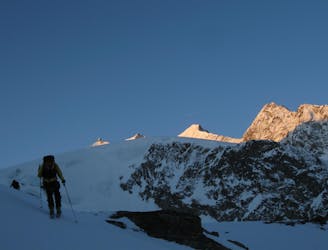
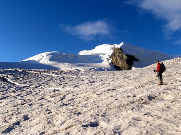
A remote walk into a small hut, crossing a dry glacier
Easy Alpine Climbing
- Distance
- 6.9 km
- Ascent
- 1.3 km
- Descent
- 43 m

A classic 4000m voyage ticking off 4 summits in day, each one higher than the previous
Alpine Climbing Difficult

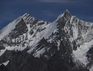
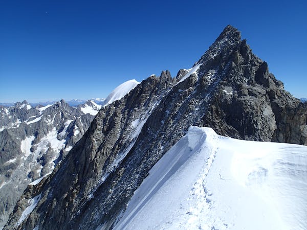
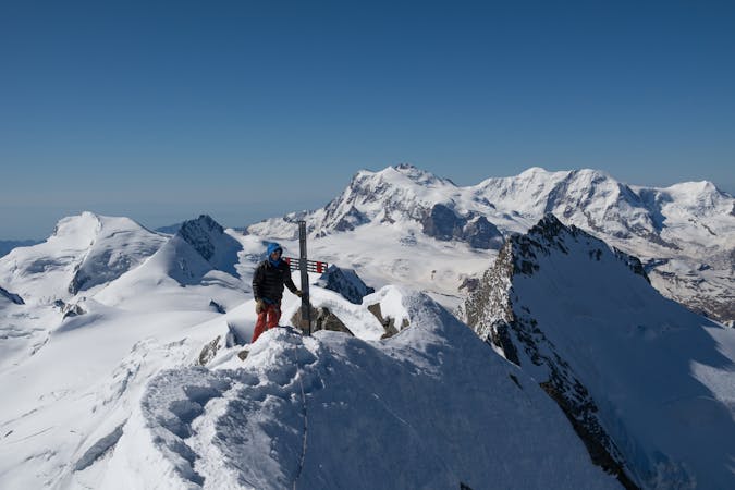
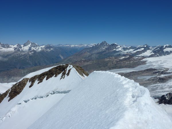
The traverse of the Nadelgrat, from the Bordier Hut to the Mischabel Hut is a great journey and very enjoyable outing at the AD grade. The rock is not always that good, but this is more than made up for by the ambiance, the journey and the beauty of the surroundings. Whilst it is possible to do this as an out and back trip from either hut, the traverse from one hut to another is particularly fine, as described, also leaving the shortest descent from the Nadelhorn to the nearer hut.
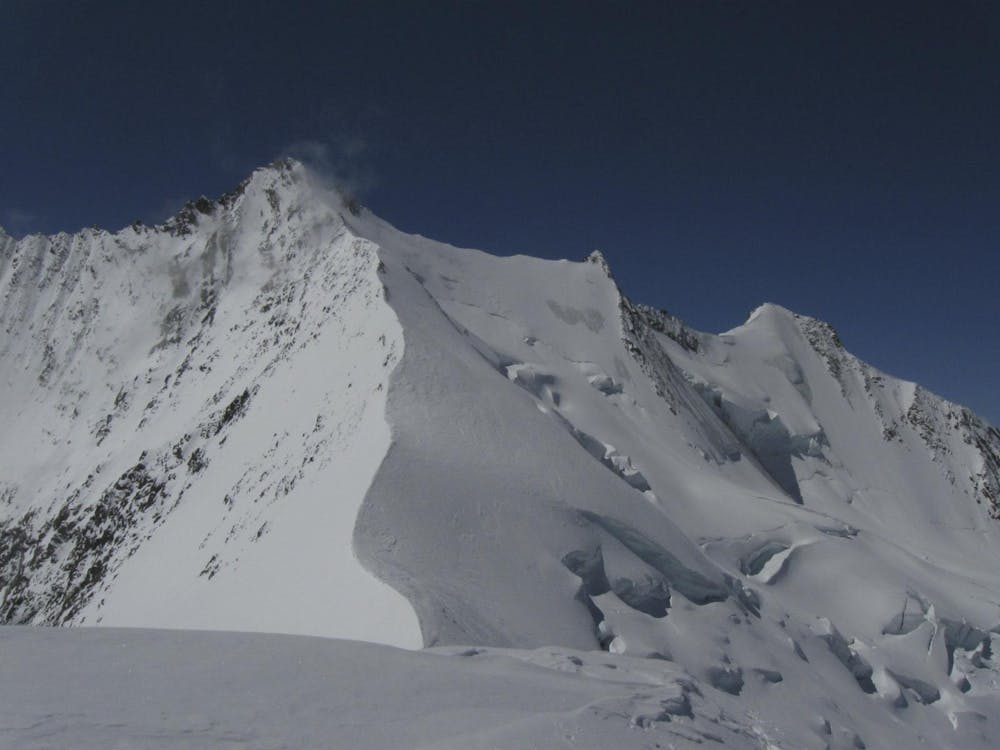
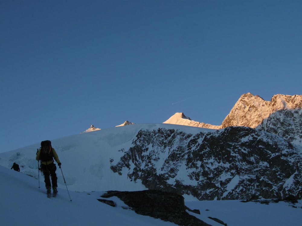
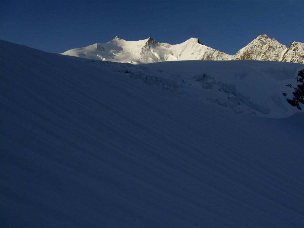
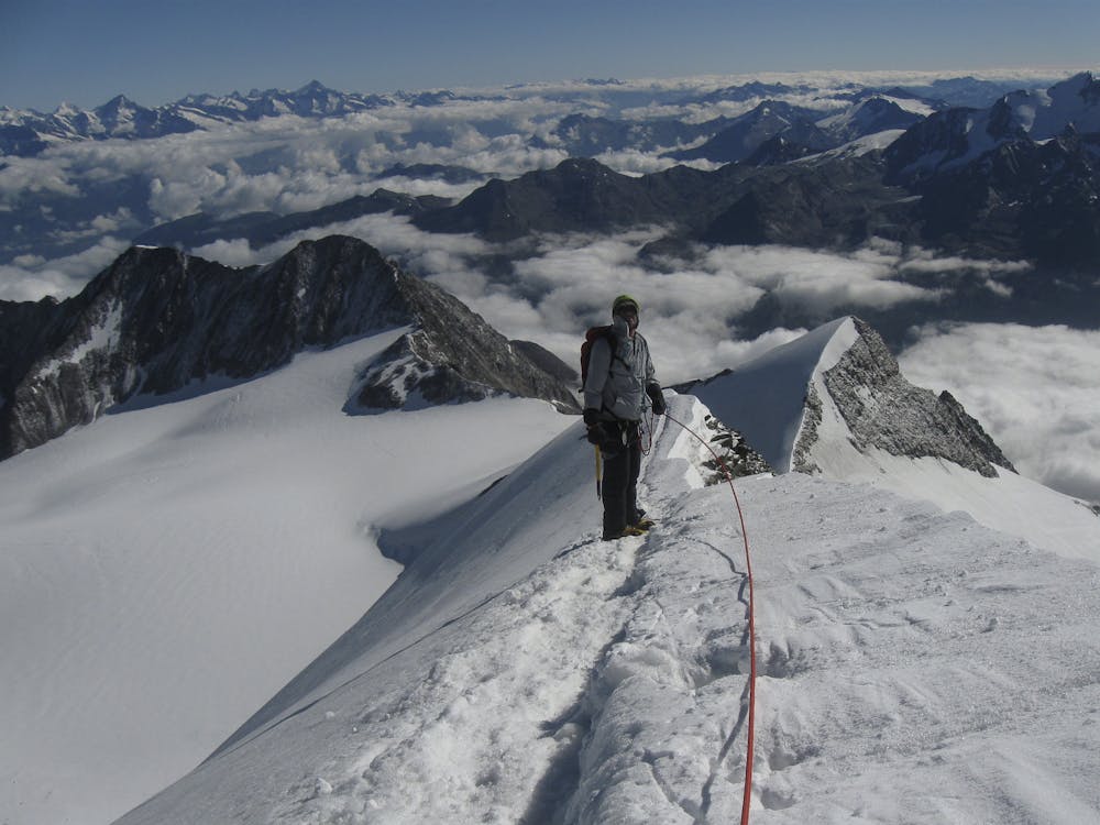
As marked here the route to the Dirruhorn is taking the Selle couloir, just to the N of the peak, which is only to be recommended in good snowy conditions. When drier or later in the season it may be better to take an alternative route to the Galenjoch, and traverse the ridge from there. This would involve recrossing the glacier below the hut, as per approach, then following a path with reflectors and cables to the Galenjoch. If you are taking this route it may be worth sussing out some of this section the day before on the way to the hut. Taking this variation you avoid the Ried Glacier upper section altogether, and traverse the Chli Dirruhorn as part of the journey, but overall there is more height gain. Thirdly another option is to continue up the glacier and take the steep snow slope direct to the Dirrujoch, hence doing this peak as an out and back.
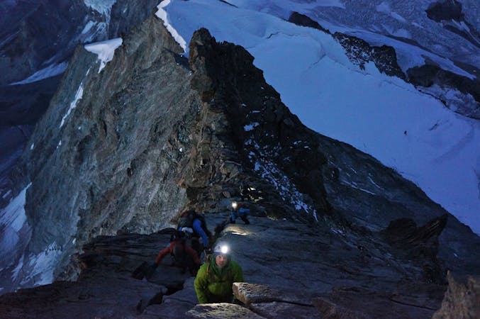
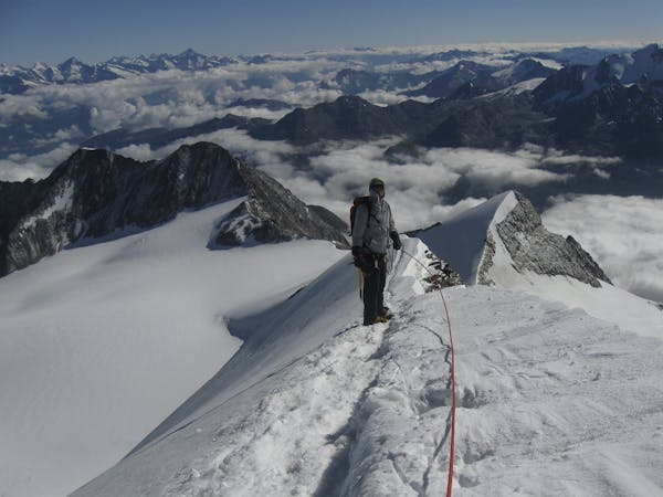
With any of these three options, from the summit of the Dirruhorn you descend to the Dirrujoch on poor rock, safer if frozen with snow and ice, as early as possible as it faces S. From here it is a classic mixed ridge to the summit of the Hohbärghorn. There is a loose summit block that can be avoided on the L in good conditions. Go initially NE, then ESE on a snowy ridge, losing 80m to the lowest point of the ridge. Then climb predominantly rock, over or round some towers, to the summit of the Stecknadelhorn. Rocks from there take you down to a flat snowy section, which you follow to a pinnacle, over it, then most people traverse L to the NE Ridge for the final section to the summit.
Descent from the Nadelhorn is via the normal route to the Mischabel Hut, and is easier than your route so far.
Difficult
The beginning of truly technical terrain which might involve pitched climbing on rock and/or ice, exposed terrain and complex route finding in ascent and descent. Equivalent to AD, AD+
4.2 km away

A remote walk into a small hut, crossing a dry glacier
Easy Alpine Climbing
4.9 km away
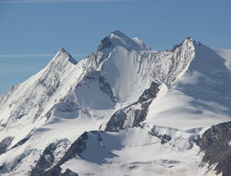
A great route traversing two 4000m peaks, with excellent rock towards the summit of the Nadelhorn
Difficult Alpine Climbing
5.3 km away
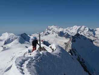
A long and impressive glacial journey to a remote summit, after a big hut approach the day before
Moderate Alpine Climbing
7.7 km away
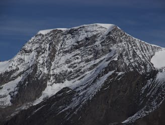
A long glacial journey up a complicated glacier to a remote summit.
Moderate Alpine Climbing
7.9 km away
A famous and committing high altitude traverse between two mighty peaks
Severe Alpine Climbing
9 routes · Alpine Climbing · Hiking
10 routes · Alpine Climbing · Hiking
6 routes · Alpine Climbing · Hiking
10 routes · Alpine Climbing · Hiking
9 routes · Alpine Climbing · Hiking
20 routes · Alpine Climbing · Hiking