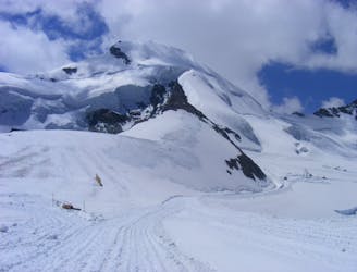
2.5 km away
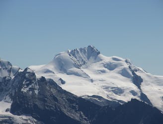
Alphubel, 4206m
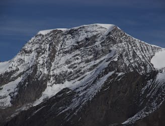
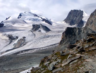
A long glacial journey up a complicated glacier to a remote summit.
Moderate Alpine Climbing
- Distance
- 7.5 km
- Ascent
- 1.3 km
- Descent
- 1.3 km
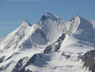
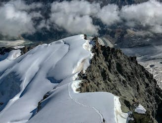
A famous and committing high altitude traverse between two mighty peaks
Alpine Climbing Severe

This is a highly committing route due to its length, the altitude and the lack of escape points from the ridge. Fitness and optimal acclimatisation are essential, as well as a totally settled forecast, with particular attention to no mention of thunderstorms. This is mythical spacewalking along a very sharp ridge, at no point dropping below 4280m. The rewards are immense as you are linking the sixth and ninth highest mountains in the Alps, with almost all of the famous 4000m Swiss peaks in view, mostly below you. A word of caution though- you won’t come across much good rock. Descending the Täschhorn it is slabby and variable quality, and on the first part of the Dom it is very loose and potentially dangerous, especially if it is dry conditions.
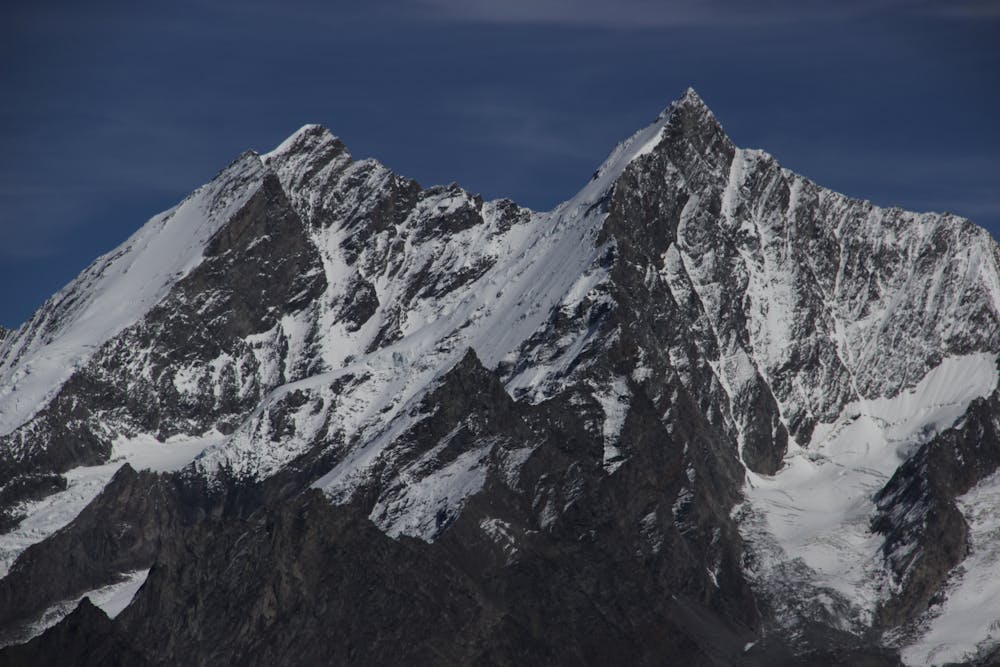
Having taken all those factors on board, you need to decide your start point- there are several options, all with pros and cons. You can also do the traverse in the opposite direction, but that is slightly more tricky as you have awkward pinnacles on the Dom ridge to descend in this direction, as well as the harder descent of the S ridge of the Täschhorn. Described here you have the highest starting point, from the Mischabeljoch bivouac hut, allowing the quickest traverse, giving a degree of extra safety, as well as the easier descent from the Dom down the glacier.
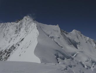
Follow the standard route from the bivouac hut up the S Ridge of the Täschhorn. From the summit descend slabby rock, tricky if icy, with poor protection, going round a rocky tower on its R. Easier ground leads to the lowest point, the Domjoch at 4281m. The rock beyond here is bad so be particularly careful and sure footed. Another gendarme of poor rock is turned on its R, then there's a level section before the final rocky steepening. Luckily the rock improves here and leads to the summit of the Dom. Breathe a sigh of relief, grab a bite to eat and a drink then track down the glacier on the normal route, leading to the Dom Hut.
Severe
Steep, sustained and serious terrain on rock/ice. Routes will be long, exposed and possibly committing. D, D+

The majority of the route is "no fall" terrain.
In the high mountains or remote conditions, all individuals must be completely autonomous in every situation.
2.5 km away
A long glacial journey up a complicated glacier to a remote summit.
Moderate Alpine Climbing
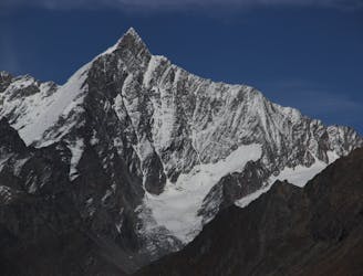
3.5 km away
Possibly the easiest 4000er in the Alps which enjoys spectacular views
Easy Alpine Climbing
3.7 km away
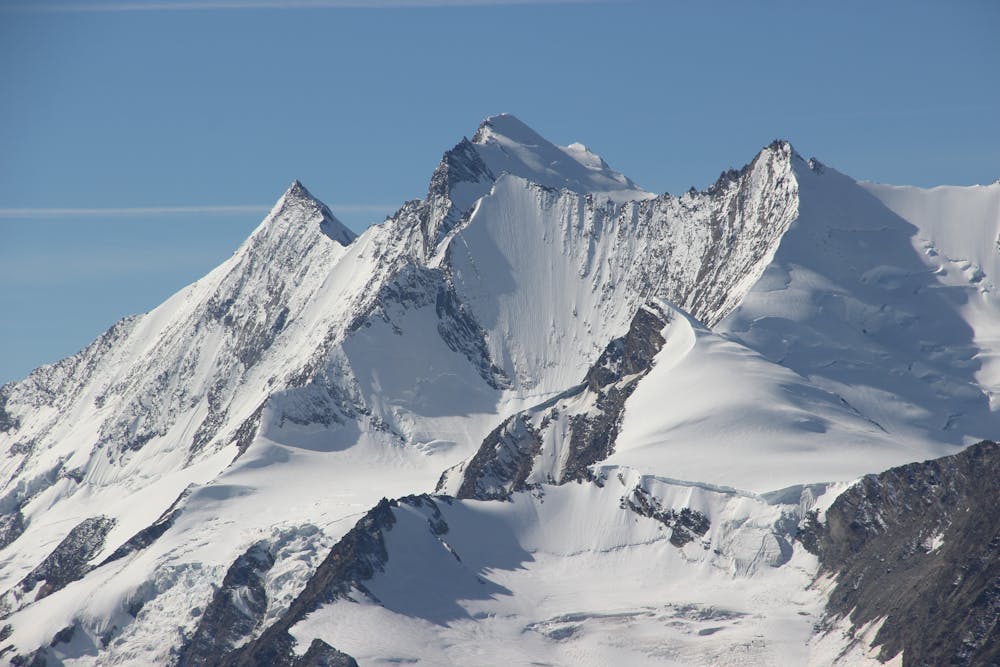
A fantastic, classic mountain ridge climb on one of the most demanding Alpine 4000ers
Difficult Alpine Climbing
4.3 km away
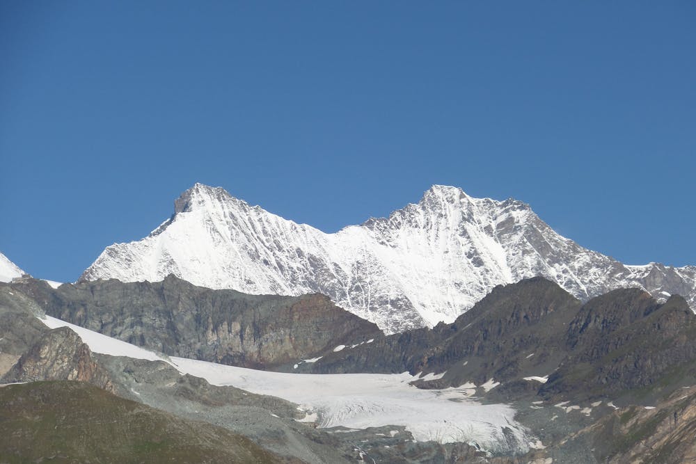
A great route traversing two 4000m peaks, with excellent rock towards the summit of the Nadelhorn
Difficult Alpine Climbing
4.6 km away

A very big day from Täschalp which can be split with a night in the Täsch Hut
Moderate Alpine Climbing
4.9 km away
A long and impressive glacial journey to a remote summit, after a big hut approach the day before
Moderate Alpine Climbing
5.6 km away
A classic route and an aesthetic line.
Moderate Alpine Climbing
5.6 km away
A long journey up a relatively straightforward snowy peak, popular in the spring too.
Moderate Alpine Climbing
5.6 km away
A beautiful summit with a characteristic sawtooth N Ridge, here climbed most easily from the opposite side.
Moderate Alpine Climbing
7.9 km away
A classic 4000m voyage ticking off 4 summits in day, each one higher than the previous
Difficult Alpine Climbing

9 routes · Alpine Climbing · Hiking

11 routes · Alpine Climbing · Hiking

10 routes · Alpine Climbing · Hiking

6 routes · Alpine Climbing · Hiking

10 routes · Alpine Climbing · Hiking

9 routes · Alpine Climbing · Hiking

20 routes · Alpine Climbing · Hiking