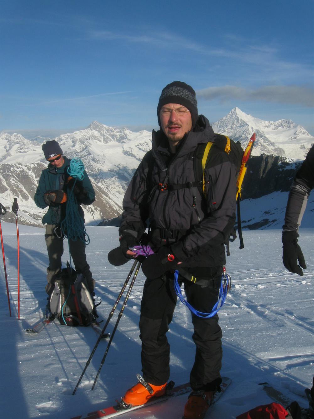
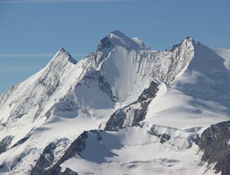
Strahlhorn, 4190m, from Britannia Hut.
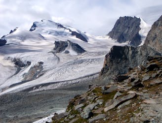
A long journey up a relatively straightforward snowy peak, popular in the spring too.
Moderate Alpine Climbing
- Distance
- 15 km
- Ascent
- 1.4 km
- Descent
- 1.4 km
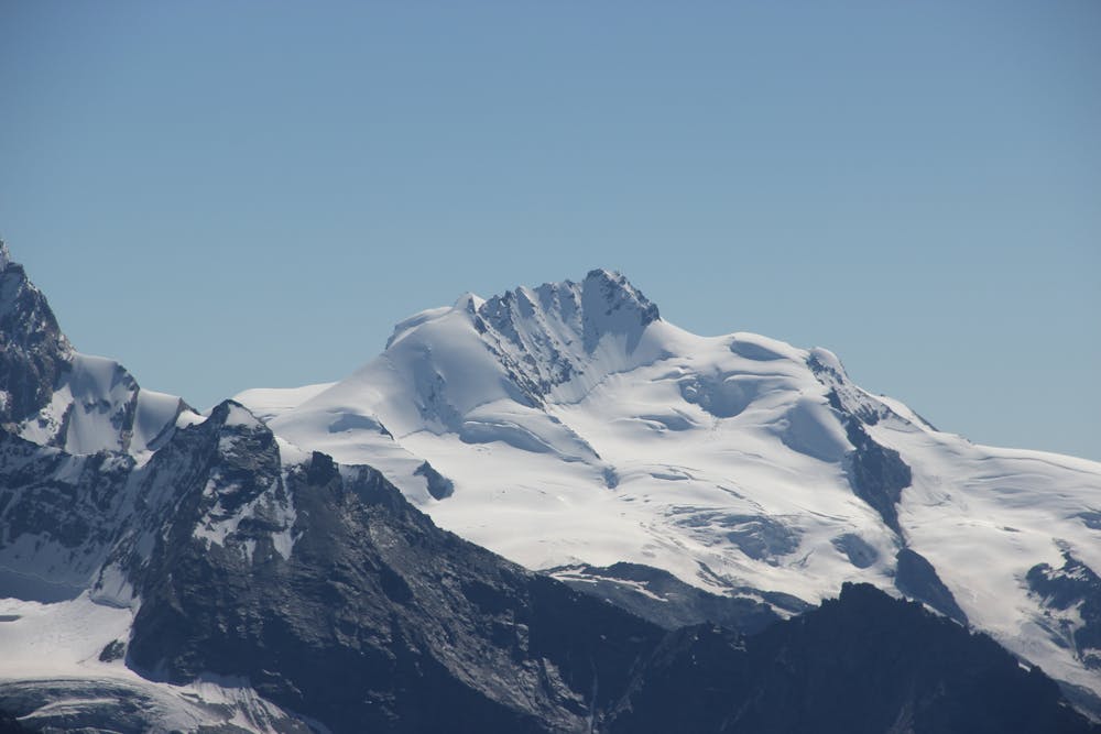
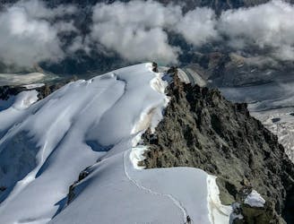
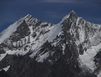
A beautiful summit with a characteristic sawtooth N Ridge, here climbed most easily from the opposite side.
Alpine Climbing Moderate

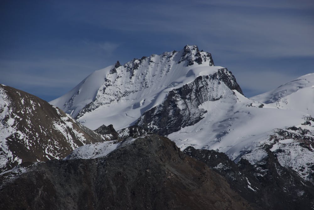
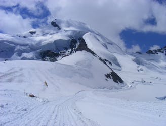
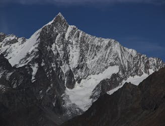
The Rimpfischhorn is a remote peak from any direction, also often climbed from the Zermatt side, but here described from the Britannia Hut, which you can also base yourself at for the Strahlhorn. The start is in common for both peaks. From the hut follow the path descending SW beneath the rocky buttress of the Hinter Allalin ridge to get onto the Hohlaub Glacier. Go SSW across the Hohlaub Glacier passing under point 3150m to gain the Allalin Glacier. Follow the R side of the glacier SW under the large cliffs to your R, negotiating your way round the crevasses, before the angle eases off around 3250m. At this point your route deviates from the route up the Strahlhorn, as you angle up to the R, more steeply, taking the glacial slopes leading to the Allalinpass at 3556m. From here you head SW, passing through, at 3650m, or under an obvious rocky spur, followed by passing beneath another similar spur, further to the S. The route then steepens slightly, weaving through complicated glacial terrain, heading SE then S, arriving at the Rimpfischsattel at 3989m. To your R is the winter ski summit at 4009m, your true summit above to the L. The route becomes mixed from here taking a gully on the R which leads to the summit ridge. There are odd bits of fixed protection of variable quality both in the gully and on the ridge, leading to your summit cross at 4199m. Descent is the reverse of ascent, taking care not to knock anything down on others climbing up. The route is marked reascending to the Britannia Hut, but you can clearly head down to Saas, by lift or descend on the Zermatt side towards the Täsch Hut.
Moderate
May involve slightly more complex glacier hikes, easy but possibly long rock ridges and steep snow up to 45 degrees. Equivalent to PD, PD+

The route features some exposed and/or difficult to protect sections.

Little chance of being seen or helped in case of an accident.
A long journey up a relatively straightforward snowy peak, popular in the spring too.
Moderate Alpine Climbing
16 m away
A classic route and an aesthetic line.
Moderate Alpine Climbing
2.4 km away
Possibly the easiest 4000er in the Alps which enjoys spectacular views
Easy Alpine Climbing
4 km away
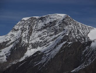
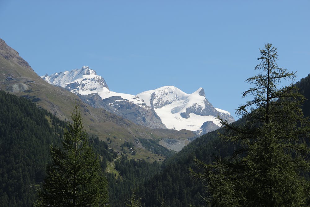
A long glacial journey up a complicated glacier to a remote summit.
Moderate Alpine Climbing
5.6 km away
A famous and committing high altitude traverse between two mighty peaks
Severe Alpine Climbing
6.5 km away
A great route traversing two 4000m peaks, with excellent rock towards the summit of the Nadelhorn
Difficult Alpine Climbing
7.7 km away

A fantastic traverse of a popular peak, starting from a remote hut.
Moderate Alpine Climbing
8.2 km away
A fantastic, classic mountain ridge climb on one of the most demanding Alpine 4000ers
Difficult Alpine Climbing
9.6 km away

A very big day from Täschalp which can be split with a night in the Täsch Hut
Moderate Alpine Climbing
9.8 km away
A very popular route to a relatively easy 4000m peak, also commonly climbed in the spring as a ski tour
Moderate Alpine Climbing

9 routes · Alpine Climbing · Hiking

11 routes · Alpine Climbing · Hiking

10 routes · Alpine Climbing · Hiking

6 routes · Alpine Climbing · Hiking

10 routes · Alpine Climbing · Hiking

20 routes · Alpine Climbing · Hiking